Marion County

Log in to your account

AroundUs is a community-driven map of interesting places, built by curious explorers like you. It grows with every review, story, and photo you share.
Connect to save your favorite spots, contribute locations, and create personalized routes.
By continuing, you accept our Terms and Conditions and our Privacy Policy
Add to collection
Map
Suggest a change
Share

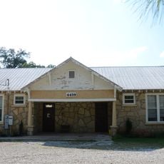
Marion County, County in northern Arkansas, United States.

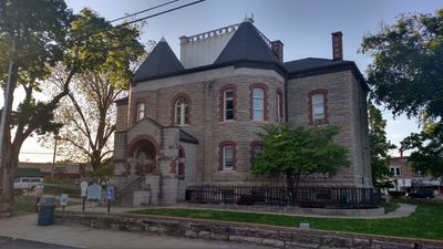
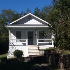
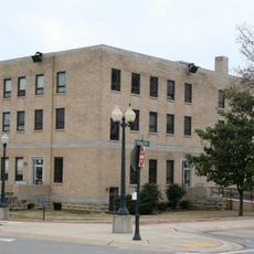
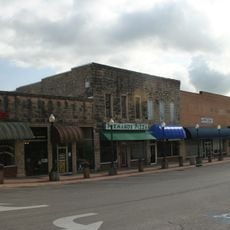
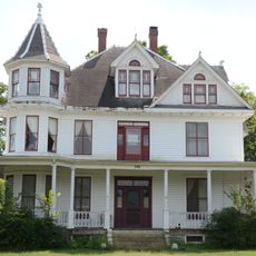
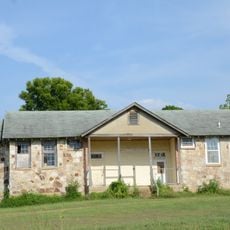
Marion County is a county in the Ozark Mountains region of northern Arkansas spanning about 640 square miles. The territory is composed of five municipalities, with Yellville serving as the administrative center where county functions are based.

The area was established as Arkansas's 35th county on September 25, 1836, and named after Francis Marion, a military leader from the American Revolutionary War. The naming honors this revolutionary commander's role in the nation's founding era.

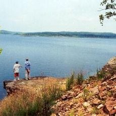
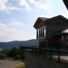
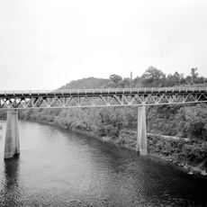
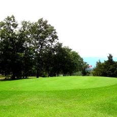
The county contains several protected natural areas including sections of Buffalo National River, Bull Shoals-White River State Park, and Ozark National Forest. These spaces draw visitors who enjoy hiking, fishing, and exploring the outdoors.

U.S. Routes 62 and 412 connect the five municipalities of Bull Shoals, Flippin, Pyatt, Summit, and Yellville and provide the main transportation corridors through the area. These roads offer the primary routes for exploring the different communities and natural spaces.

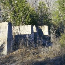
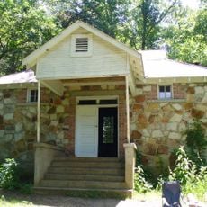
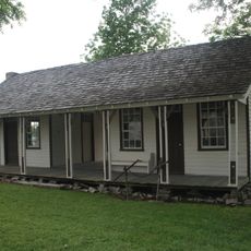
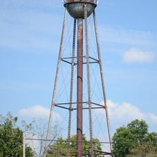
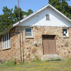
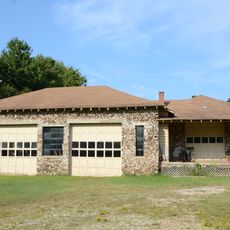
The Rush Historic District preserves remains of zinc mining operations that shaped industrial development in earlier centuries. Visitors can explore traces of this mining heritage and understand how extraction work influenced the local economy.

Location: Arkansas

Inception: September 25, 1836

Capital city: Yellville

Shares border with: Ozark County, Searcy County, Baxter County, Taney County, Boone County

Website: http://marioncounty.arkansas.gov

GPS coordinates: 36.27972,-92.71583

Latest update: December 7, 2025 20:47

Photos
Around this place
Show the full map
Bull Shoals Lake
United States of America

Bull Shoals Lake

15.8 km
Bull Shoals-White River State Park
United States of America

Bull Shoals-White River State Park

14.9 km
Cotter Bridge
United States of America

Cotter Bridge

15.5 km
Rush Historic District
United States of America

Rush Historic District

20.9 km
Buffalo River State Park
United States of America

Buffalo River State Park

26.1 km
Elliott and Anna Barham House
United States of America

Elliott and Anna Barham House

18 km
Baxter County Courthouse
United States of America

Baxter County Courthouse

30.3 km
North Fork Bridge
United States of America

North Fork Bridge

39.3 km
Mountain Home Commercial Historic District
United States of America

Mountain Home Commercial Historic District

30.3 km
Henley Hotel
United States of America

Henley Hotel

28.9 km
Hirst-Mathew Hall
United States of America

Hirst-Mathew Hall

16.4 km
Case-Shiras-Dearmore House
United States of America

Case-Shiras-Dearmore House

30.7 km
Pea Ridge School Building
United States of America

Pea Ridge School Building

20.9 km
Crooked Creek Bridge
United States of America

Crooked Creek Bridge

12 km
Cowdrey House
United States of America

Cowdrey House

7 km
Cold Springs School
United States of America

Cold Springs School

31.4 km
Casey House
United States of America

Casey House

30.3 km
Cotter Water Tower
United States of America

Cotter Water Tower

16.8 km
Rollins Hospital
United States of America

Rollins Hospital

19.9 km
Fairview School Building
United States of America

Fairview School Building

11.6 km
Aggie Workshop
United States of America

Aggie Workshop

16.4 km
Everton School
United States of America

Everton School

22.2 km
Marion County Courthouse
United States of America

Marion County Courthouse

6.7 km
Buford School Building
United States of America

Buford School Building

26.1 km
Eros School Building
United States of America

Eros School Building

16.2 km
Carter-Jones House
United States of America

Carter-Jones House

6.6 km
Pyatt School Building
United States of America

Pyatt School Building

12.3 km
Lost Woods Golf Course
United States of America

Lost Woods Golf Course

32.1 km
Show the full map
Reviews

Visited this place? Tap the stars to rate it and share your experience / photos with the community! Try now! You can cancel it anytime.

« Marion County - County in northern Arkansas, United States » is provided by Around Us (aroundus.com). Images and texts are derived from Wikimedia project under a Creative Commons license. You are allowed to copy, distribute, and modify copies of this page, under the conditions set by the license, as long as this note is clearly visible.

Discover hidden gems everywhere you go!

From secret cafés to breathtaking viewpoints, skip the crowded tourist spots and find places that match your style. Our app makes it easy with voice search, smart filtering, route optimization, and insider tips from travelers worldwide. Download now for the complete mobile experience.

Around Us App Screenshot

A unique approach to discovering new places

Le Figaro

All the places worth exploring

France Info

A tailor-made excursion in just a few clicks

20 Minutes