Enable Location

We need your location to show you interesting places around you

Discover nearby places

Find interesting locations and hidden gems around you

Precise directions

Get accurate directions and distances to places

Your location is never shared with other users. It's only used when you tap the location button.

Phillips County

Log in to your account

Start exploring — it's free

Trusted by 62,796 travelers worldwide

Continue with Google
Continue with Apple
or

We will send you a code to connect

By continuing, you accept our Terms and Conditions and our Privacy Policy

Check your inbox

We've sent a pincode in your inbox. Please enter the code below.

Phillips County, Administrative county in Arkansas, United States.

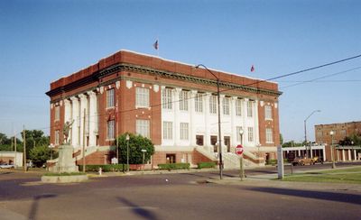
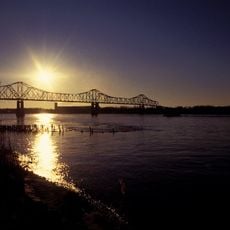
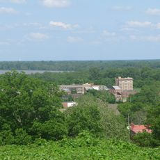
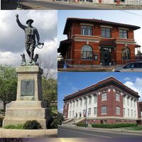
Phillips County is an administrative county in eastern Arkansas, bordered by the Mississippi River to the east. Helena-West Helena functions as the county seat, and the area contains both agricultural lands and residential communities.

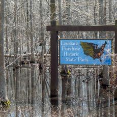
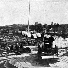
The county was established in 1820 as Arkansas's seventh county, named after Sylvanus Phillips, an early settler. It later became a major center of cotton agriculture throughout the 1800s.

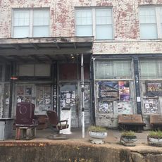
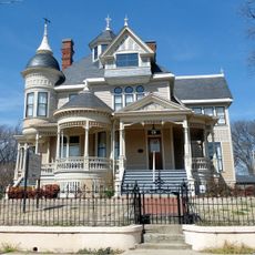
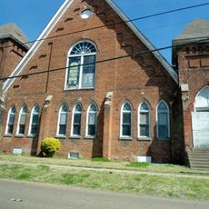
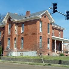
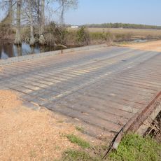
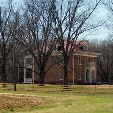
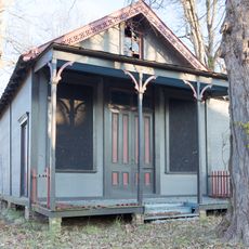
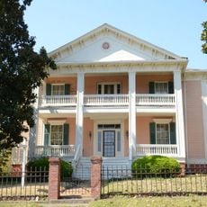
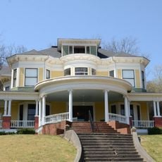
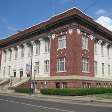
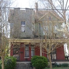
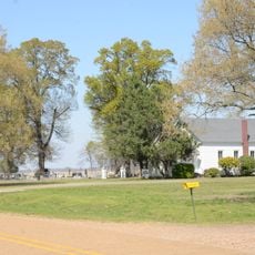
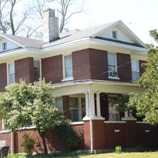
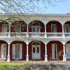
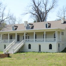
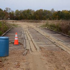
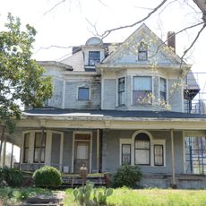
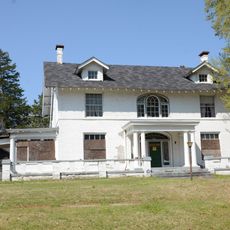
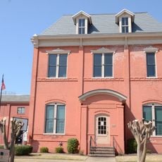
Antebellum buildings and rural landscapes still shape how the county looks today, reflecting centuries of agricultural tradition. Walking through the area, you see reminders of how people lived and worked on these lands.

Several highways cross through the county, including U.S. Highway 49, Highway 1, Highway 39, and Highway 85, making it easy to move around and reach neighboring areas. These roads offer different routes depending on where you want to go.

The county has endured a tragic history related to racial violence, marking a significant and difficult period in American history. This past remains an important part of the story for those who visit.

The community of curious travelers

AroundUs brings together thousands of curated places, local tips, and hidden gems, enriched daily by 60,000 contributors worldwide.

Start exploring
Location
Inception
May 1, 1820
Capital city
Helena-West Helena
Shares border with
Lee County, Monroe County, Arkansas County, Desha County, Tunica County, Coahoma County, Bolivar County
GPS coordinates
34.39028,-90.86972
Latest update
December 7, 2025 10:06
Around this place
Ground Zero
United States of America

Ground Zero

34.4 km
Delta Blues Museum
United States of America

Delta Blues Museum

34.5 km
Helena Bridge
United States of America

Helena Bridge

28.4 km
Louisiana Purchase Historic State Park
United States of America

Louisiana Purchase Historic State Park

33.1 km
Jerome Bonaparte Pillow House
United States of America

Jerome Bonaparte Pillow House

29.8 km
St. Mary's Catholic Church
United States of America

St. Mary's Catholic Church

29.5 km
Delta Cultural Center
United States of America

Delta Cultural Center

29.9 km
Fort Curtis
United States of America

Fort Curtis

29.6 km
Centennial Baptist Church
United States of America

Centennial Baptist Church

29.7 km
Sidney H. Horner House
United States of America

Sidney H. Horner House

30 km
Civil War batteries of Helena, Arkansas
United States of America

Civil War batteries of Helena, Arkansas

30.3 km
Faust House
United States of America

Faust House

27.5 km
Little Cypress Creek Bridge
United States of America

Little Cypress Creek Bridge

23.3 km
Palmer House
United States of America

Palmer House

33.2 km
Almer Store
United States of America

Almer Store

30 km
First Baptist Church
United States of America

First Baptist Church

19 km
James C. Tappan House
United States of America

James C. Tappan House

29.7 km
William A. Short House
United States of America

William A. Short House

29.2 km
Phillips County Courthouse
United States of America

Phillips County Courthouse

30.3 km
William Nicholas Straub House
United States of America

William Nicholas Straub House

29.7 km
Turner Historic District
United States of America

Turner Historic District

13.8 km
White House
United States of America

White House

29.5 km
Allin House
United States of America

Allin House

29.7 km
Estevan Hall
United States of America

Estevan Hall

28.8 km
Warrens Bridge
United States of America

Warrens Bridge

14.4 km
Keesee House
United States of America

Keesee House

29.4 km
E.S. Ready House
United States of America

E.S. Ready House

29.9 km
Helena Library and Museum
United States of America

Helena Library and Museum

30 km
Show the full map
Administrative divisions
« Phillips County - Administrative county in Arkansas, United States » is provided by Around Us (aroundus.com). Images and texts are derived from Wikimedia project under a Creative Commons license. You are allowed to copy, distribute, and modify copies of this page, under the conditions set by the license, as long as this note is clearly visible.

Discover hidden gems everywhere you go!

From secret cafés to breathtaking viewpoints, skip the crowded tourist spots and find places that match your style. Our app makes it easy with voice search, smart filtering, route optimization, and insider tips from travelers worldwide. Download now for the complete mobile experience.

Around Us App Screenshot

A unique approach to discovering new places

Le Figaro

All the places worth exploring

France Info

A tailor-made excursion in just a few clicks

20 Minutes

Around Us
Travel Guide & Maps
Download

Send to your phone

QR Code
1

Open the camera app on your mobile.

2

Point at the QR code with your camera. A notification will appear.

3

Tap the notification to open the link.