Enable Location

We need your location to show you interesting places around you

Discover nearby places

Find interesting locations and hidden gems around you

Precise directions

Get accurate directions and distances to places

Your location is never shared with other users. It's only used when you tap the location button.

Montgomery County

Log in to your account

Start exploring — it's free

Trusted by 62,060 travelers worldwide

Continue with Google
Continue with Apple
or

We will send you a code to connect

By continuing, you accept our Terms and Conditions and our Privacy Policy

Check your inbox

We've sent a pincode in your inbox. Please enter the code below.

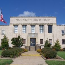
Montgomery County, Administrative county in western Arkansas, United States.

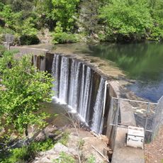
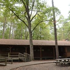
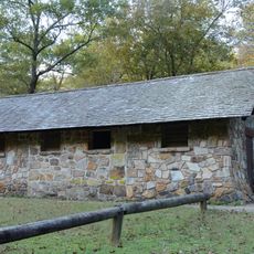
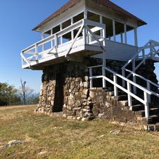
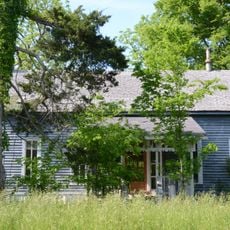
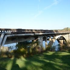
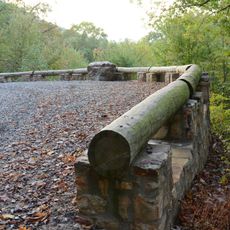
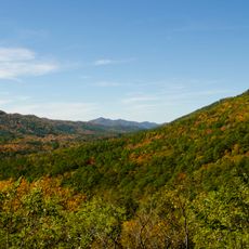
Montgomery County is an administrative division in western Arkansas with diverse landscapes featuring forests, waterways, and natural rock formations. The South Fork of the Ouachita River cuts through the terrain, shaping the geography and ecology of the region.

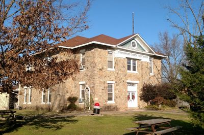
The county was officially created on December 9, 1842, with Mount Ida established as its administrative seat. Its development centered on exploiting the region's natural resources, particularly quartz crystal deposits.

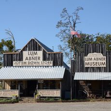
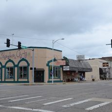
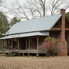
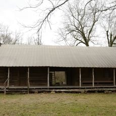
The communities here gather for events that celebrate the region's history of crystal mining and ties to farming and outdoor pursuits. These occasions show how residents connect their daily lives to the land and its traditions.

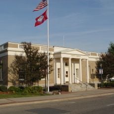
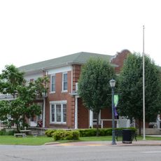
The Mount Ida Revenue Office on South West Street handles vehicle registrations and government services during weekday business hours. Plan to visit during standard office hours for administrative matters and documentation needs.

The area holds significant deposits of high-quality quartz crystal that draw collectors and industries from across the globe. This mineral wealth makes it a major hub for crystal extraction and processing activities.

The community of curious travelers

AroundUs brings together thousands of curated places, local tips, and hidden gems, enriched daily by 60,000 contributors worldwide.

Start exploring
Location
Inception
December 9, 1842
Capital city
Mount Ida
Shares border with
Yell County, Pike County, Garland County, Clark County, Hot Spring County, Howard County, Polk County, Scott County
GPS coordinates
34.53556,-93.66444
Latest update
December 10, 2025 15:53
Around this place
Mid-America Science Museum
United States of America

Mid-America Science Museum

50.3 km
Shady Lake Recreation Area
United States of America

Shady Lake Recreation Area

38.8 km
Huddleston Store and McKinzie Store
United States of America

Huddleston Store and McKinzie Store

22.7 km
First Presbyterian Church
United States of America

First Presbyterian Church

48.9 km
Camp Clearfork
United States of America

Camp Clearfork

25.2 km
Charlton Recreation Area
United States of America

Charlton Recreation Area

26 km
Bard Springs Bathhouse
United States of America

Bard Springs Bathhouse

35.6 km
Mena City Hall
United States of America

Mena City Hall

52.9 km
Tall Peak Fire Tower
United States of America

Tall Peak Fire Tower

38.5 km
Old Bank of Amity
United States of America

Old Bank of Amity

35.4 km
Gillham House
United States of America

Gillham House

38.9 km
Mount Ida Cities Service Filling Station
United States of America

Mount Ida Cities Service Filling Station

3.7 km
Montgomery County Courthouse
United States of America

Montgomery County Courthouse

3.9 km
Polk County Courthouse
United States of America

Polk County Courthouse

53 km
Mitchell House
United States of America

Mitchell House

50.2 km
Self Creek Bridge
United States of America

Self Creek Bridge

34.4 km
Caddo Valley Academy Complex
United States of America

Caddo Valley Academy Complex

9 km
Elks Lodge
United States of America

Elks Lodge

52.9 km
Buckeye Vista Overlook
United States of America

Buckeye Vista Overlook

36.5 km
Mena Commercial Historic District
United States of America

Mena Commercial Historic District

52.6 km
Harley E. Green House
United States of America

Harley E. Green House

35.7 km
Sugar Creek Vista Overlook
United States of America

Sugar Creek Vista Overlook

37.8 km
Loy Kirksey House
United States of America

Loy Kirksey House

47.7 km
Parks School
United States of America

Parks School

40.2 km
Norman Town Square
United States of America

Norman Town Square

9.1 km
Reeves-Melson House
United States of America

Reeves-Melson House

25.8 km
Womble District Administration House No. 1
United States of America

Womble District Administration House No. 1

5.7 km
Charlton Bathhouse
United States of America

Charlton Bathhouse

26 km
Show the full map
« Montgomery County - Administrative county in western Arkansas, United States » is provided by Around Us (aroundus.com). Images and texts are derived from Wikimedia project under a Creative Commons license. You are allowed to copy, distribute, and modify copies of this page, under the conditions set by the license, as long as this note is clearly visible.

Discover hidden gems everywhere you go!

From secret cafés to breathtaking viewpoints, skip the crowded tourist spots and find places that match your style. Our app makes it easy with voice search, smart filtering, route optimization, and insider tips from travelers worldwide. Download now for the complete mobile experience.

Around Us App Screenshot

A unique approach to discovering new places

Le Figaro

All the places worth exploring

France Info

A tailor-made excursion in just a few clicks

20 Minutes

Around Us
Travel Guide & Maps
Download

Send to your phone

QR Code
1

Open the camera app on your mobile.

2

Point at the QR code with your camera. A notification will appear.

3

Tap the notification to open the link.