Enable Location

We need your location to show you interesting places around you

Discover nearby places

Find interesting locations and hidden gems around you

Precise directions

Get accurate directions and distances to places

Your location is never shared with other users. It's only used when you tap the location button.

Montcalm County

Log in to your account

Start exploring — it's free

Trusted by 62,378 travelers worldwide

Continue with Google
Continue with Apple
or

We will send you a code to connect

By continuing, you accept our Terms and Conditions and our Privacy Policy

Check your inbox

We've sent a pincode in your inbox. Please enter the code below.

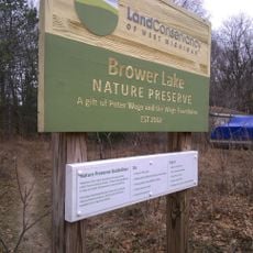
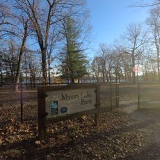
Montcalm County, Administrative division in Michigan, United States.

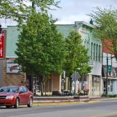
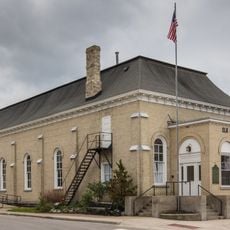
Montcalm County is an administrative division in central Michigan encompassing a large area of both urban and rural communities. The county seat is located in Stanton, where the main government offices operate.

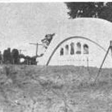
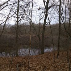
The county was established in 1831 and became central to Michigan's expansion during the 1800s. Early settlement and development focused on farming and timber industries that shaped the region.

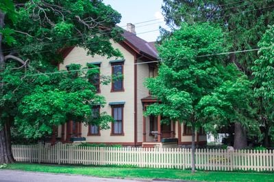
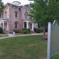
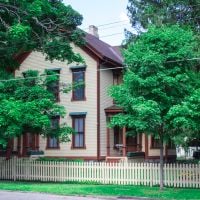
The county is named after a French military leader from the 1700s, reflecting the colonial past of the area. Local museums and monuments help visitors understand this connection to earlier times in Michigan.

The county's online portal provides information about public services, property records, and administrative procedures available to residents and visitors. Planning ahead by checking office locations and hours is helpful when conducting business in the county.

The county operates specialized courts such as Mental Health Court that provide support and rehabilitation instead of traditional jail sentences. This approach shows an innovative way of handling mental health and substance abuse issues.

The community of curious travelers

AroundUs brings together thousands of curated places, local tips, and hidden gems, enriched daily by 60,000 contributors worldwide.

Start exploring
Location
Inception
1831
Capital city
Stanton
Shares border with
Mecosta County, Ionia County, Isabella County, Gratiot County, Clinton County, Newaygo County, Kent County
GPS coordinates
43.31000,-85.15000
Latest update
December 7, 2025 19:29
Around this place
Bellamy Creek Correctional Facility
United States of America

Bellamy Creek Correctional Facility

37.1 km
Whites Bridge
United States of America

Whites Bridge

35 km
Greenville Downtown Historic District
United States of America

Greenville Downtown Historic District

16.7 km
Lincoln Road–Pine River Bridge
United States of America

Lincoln Road–Pine River Bridge

26.8 km
Elk Rapids Township Hall
United States of America

Elk Rapids Township Hall

25.4 km
Porter Hollow Embankment and Culvert
United States of America

Porter Hollow Embankment and Culvert

37.4 km
Richardson Silk Mill
United States of America

Richardson Silk Mill

24.5 km
Giles Gilbert House
United States of America

Giles Gilbert House

5.9 km
Hall-Fowler Memorial Library
United States of America

Hall-Fowler Memorial Library

37 km
Ionia Downtown Commercial Historic District
United States of America

Ionia Downtown Commercial Historic District

37.1 km
William H. VanderHeyden House
United States of America

William H. VanderHeyden House

37.1 km
Fallasburg Historic District
United States of America

Fallasburg Historic District

39.1 km
Alvah N. Belding Memorial Library
United States of America

Alvah N. Belding Memorial Library

24.4 km
Ionia County Courthouse
United States of America

Ionia County Courthouse

37 km
Lovell-Webber House
United States of America

Lovell-Webber House

37 km
Boys' Club Building
United States of America

Boys' Club Building

9 km
Ionia Historic District
United States of America

Ionia Historic District

37 km
Ionia Theatre
United States of America

Ionia Theatre

37.1 km
St. John the Baptist Catholic Church Complex
United States of America

St. John the Baptist Catholic Church Complex

34.5 km
Ionia County Courthouse Historical Marker
United States of America

Ionia County Courthouse Historical Marker

37 km
Fred W Green Historical Marker
United States of America

Fred W Green Historical Marker

36.9 km
Saint John's Episcopal Church and Parish House Historical Marker
United States of America

Saint John's Episcopal Church and Parish House Historical Marker

37 km
Ionia Church of Christ Historical Marker
United States of America

Ionia Church of Christ Historical Marker

37 km
Frederick Hall House Historical Marker
United States of America

Frederick Hall House Historical Marker

37.1 km
Ionia Community Library
United States of America

Ionia Community Library

37.1 km
Brower Lake Nature Preserve
United States of America

Brower Lake Nature Preserve

33.7 km
Myers Lake County Park
United States of America

Myers Lake County Park

33.2 km
Bog at Browers Lake Nature Preserve
United States of America

Bog at Browers Lake Nature Preserve

33.4 km
Show the full map
Administrative divisions
« Montcalm County - Administrative division in Michigan, United States » is provided by Around Us (aroundus.com). Images and texts are derived from Wikimedia project under a Creative Commons license. You are allowed to copy, distribute, and modify copies of this page, under the conditions set by the license, as long as this note is clearly visible.

Discover hidden gems everywhere you go!

From secret cafés to breathtaking viewpoints, skip the crowded tourist spots and find places that match your style. Our app makes it easy with voice search, smart filtering, route optimization, and insider tips from travelers worldwide. Download now for the complete mobile experience.

Around Us App Screenshot

A unique approach to discovering new places

Le Figaro

All the places worth exploring

France Info

A tailor-made excursion in just a few clicks

20 Minutes

Around Us
Travel Guide & Maps
Download

Send to your phone

QR Code
1

Open the camera app on your mobile.

2

Point at the QR code with your camera. A notification will appear.

3

Tap the notification to open the link.