Broadwater County

Log in to your account

AroundUs is a community-driven map of interesting places, built by curious explorers like you. It grows with every review, story, and photo you share.
Connect to save your favorite spots, contribute locations, and create personalized routes.
Continue with Google
Continue with Apple
Continue with X
Continue with Facebook
Continue with email
By continuing, you accept our Terms and Conditions and our Privacy Policy
Create an account
Add to collection
Map
Suggest a change
Share

Broadwater County, County in Montana, US

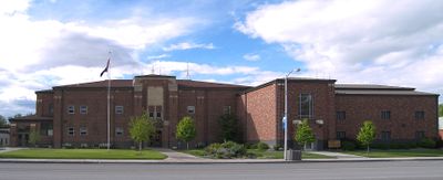
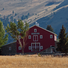
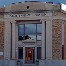
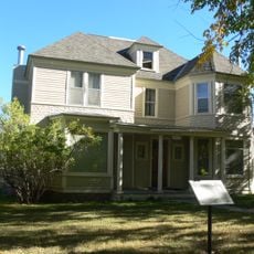
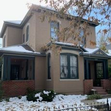
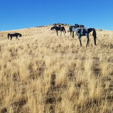
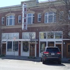
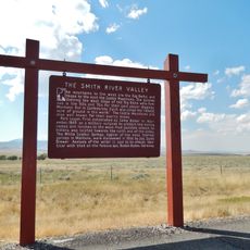
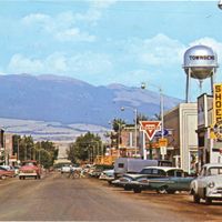
Broadwater County is an administrative area in central Montana with varied terrain throughout its landscape. The region features rolling hills, river valleys, and mountain slopes, with Townsend serving as the main administrative center.

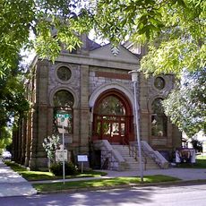
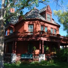
The county was established in 1897 during Montana's territorial development period. Its name honors a local businessman whose investments influenced regional growth and settlement patterns.

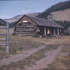
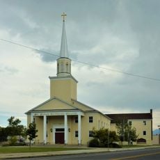
Agricultural traditions and rural life shape how people in this county connect with their land and community. Visitors notice a strong bond between residents and the natural resources that sustain their way of living.

Spring through fall offers the best conditions for exploring the county, with roads and trails generally accessible. A personal vehicle is essential since the area spans a large territory and public transportation is limited.

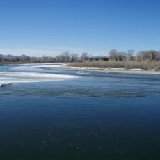
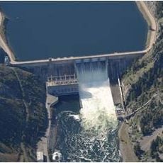
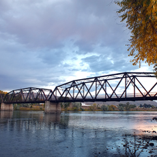
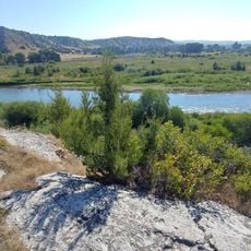
The Missouri River runs through the county and creates opportunities for water-based recreation and fishing. This waterway remains central to both the landscape and local economic activities today.

Location: Montana

Inception: 1897

Capital city: Townsend

Shares border with: Meagher County, Gallatin County, Lewis and Clark County, Jefferson County

Website: http://co.broadwater.mt.us

GPS coordinates: 46.33000,-111.50000

Latest update: December 10, 2025 15:57

Photos
Around this place
Missouri Headwaters State Park
United States of America

Missouri Headwaters State Park

45.6 km
United States of America

Montana Governor's Residence

48.5 km
Canyon Ferry Dam
United States of America

Canyon Ferry Dam

39.5 km
Temple Emanu-El
United States of America

Temple Emanu-El

50 km
Helena Historic District
United States of America

Helena Historic District

49.7 km
Byron R. Sherman House
United States of America

Byron R. Sherman House

52.2 km
Kluge House
United States of America

Kluge House

43.8 km
St. Joseph's Catholic Mission Church
United States of America

St. Joseph's Catholic Mission Church

9.6 km
W.C. Child Ranch
United States of America

W.C. Child Ranch

41.2 km
State Bank of Townsend
United States of America

State Bank of Townsend

2.6 km
Toston Bridge
United States of America

Toston Bridge

18.1 km
Eagle Guard Station
United States of America

Eagle Guard Station

16 km
Fraternity Hall
United States of America

Fraternity Hall

34.8 km
Parberry Block East
United States of America

Parberry Block East

51.8 km
Porter Flats Apartments
United States of America

Porter Flats Apartments

50 km
Dry Creek School
United States of America

Dry Creek School

55 km
Jefferson County Courthouse
United States of America

Jefferson County Courthouse

48.9 km
Morris Silverman House
United States of America

Morris Silverman House

49.9 km
T. H. Kleinschmidt House
United States of America

T. H. Kleinschmidt House

48 km
Adams Block
United States of America

Adams Block

48.8 km
Robert and Elizabeth Fisk House
United States of America

Robert and Elizabeth Fisk House

49.9 km
Wick-Seiler House
United States of America

Wick-Seiler House

49.7 km
St John's Lutheran Church (Helena)
United States of America

St John's Lutheran Church (Helena)

50.1 km
Ling Rock - Ferry Crossing Headwaters State Park
United States of America

Ling Rock - Ferry Crossing Headwaters State Park

44 km
Bleu Horses
United States of America

Bleu Horses

39.8 km
Ruby Theatre
United States of America

Ruby Theatre

49.9 km
Former Montana Executive Mansion
United States of America

Former Montana Executive Mansion

50 km
Smith River Valley Historical Marker
United States of America

Smith River Valley Historical Marker

47.1 km
Show the full map
Reviews

Visited this place? Tap the stars to rate it and share your experience / photos with the community! Try now! You can cancel it anytime.

Administrative divisions
« Broadwater County - County in Montana, US » is provided by Around Us (aroundus.com). Images and texts are derived from Wikimedia project under a Creative Commons license. You are allowed to copy, distribute, and modify copies of this page, under the conditions set by the license, as long as this note is clearly visible.

Discover hidden gems everywhere you go!

From secret cafés to breathtaking viewpoints, skip the crowded tourist spots and find places that match your style. Our app makes it easy with voice search, smart filtering, route optimization, and insider tips from travelers worldwide. Download now for the complete mobile experience.

Around Us App Screenshot

A unique approach to discovering new places

Le Figaro

All the places worth exploring

France Info

A tailor-made excursion in just a few clicks

20 Minutes