Enable Location

We need your location to show you interesting places around you

Discover nearby places

Find interesting locations and hidden gems around you

Precise directions

Get accurate directions and distances to places

Your location is never shared with other users. It's only used when you tap the location button.

Maries County

Log in to your account

Start exploring — it's free

Trusted by 61,976 travelers worldwide

Continue with Google
Continue with Apple
or

We will send you a code to connect

By continuing, you accept our Terms and Conditions and our Privacy Policy

Check your inbox

We've sent a pincode in your inbox. Please enter the code below.

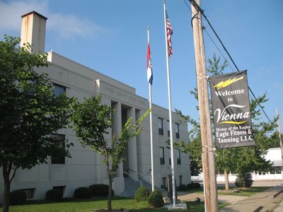
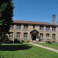
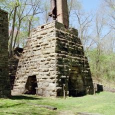
Maries County, Administrative county in central Missouri, United States.

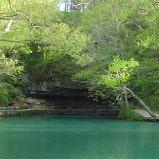
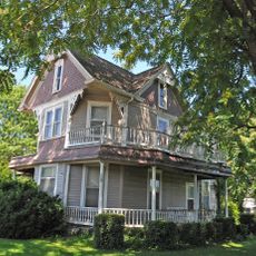
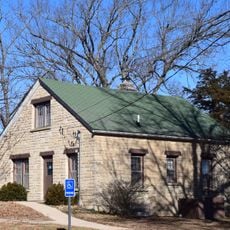
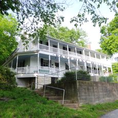
Maries County is an administrative county in central Missouri that includes forested areas, rivers, and farmland across gently rolling terrain. The landscape is characterized by waterways and mixed use of land for agriculture and natural vegetation.

The county was established in 1855 and named after the Maries and Little Maries rivers, which take their name from the French word 'marais' meaning marsh. This French origin reflects the early European exploration of the region.

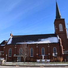
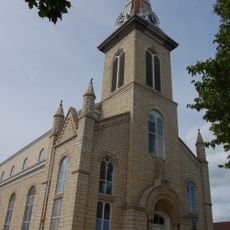
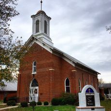
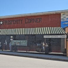
Community life centers on farming traditions and local gatherings that bring residents together throughout the year. The way people organize county fairs and seasonal events shows how deeply agricultural practices shape daily life here.

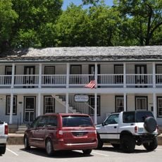
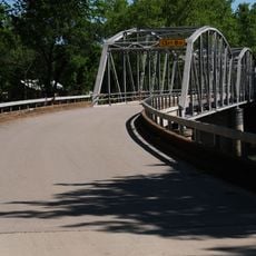
The area is accessible via U.S. Route 63 and several state highways that connect to surrounding regions and towns. The main communities serve as good starting points for exploring different parts of the county.

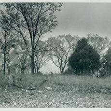
The population is spread very thinly across the land, with forests and open spaces dominating the landscape. This means visitors find plenty of room to explore without feeling crowded or surrounded by development.

The community of curious travelers

AroundUs brings together thousands of curated places, local tips, and hidden gems, enriched daily by 60,000 contributors worldwide.

Start exploring
Location
Inception
1855
Capital city
Vienna
Shares border with
Gasconade County, Pulaski County, Miller County, Osage County, Phelps County
GPS coordinates
38.18000,-91.92000
Latest update
December 10, 2025 15:57
Around this place
Uranus Missouri
United States of America

Uranus Missouri

42.3 km
Maramec Spring
United States of America

Maramec Spring

42.2 km
Allgood–Bailey Stadium
United States of America

Allgood–Bailey Stadium

28.3 km
Dauphine Hotel
United States of America

Dauphine Hotel

44.6 km
Fort Wyman
United States of America

Fort Wyman

29.9 km
Old Stagecoach Stop
United States of America

Old Stagecoach Stop

46.1 km
St. Francis Xavier Catholic Church and Rectory
United States of America

St. Francis Xavier Catholic Church and Rectory

38.7 km
St. Joseph Church
United States of America

St. Joseph Church

29.8 km
Maries County Jail and Sheriff's House
United States of America

Maries County Jail and Sheriff's House

2.4 km
George B. Hamilton House
United States of America

George B. Hamilton House

47.3 km
Rolla Ranger Station Historic District
United States of America

Rolla Ranger Station Historic District

28.7 km
Phelps County Courthouse
United States of America

Phelps County Courthouse

29.1 km
Hotel Cuba
United States of America

Hotel Cuba

46.1 km
Bonnots Mill Historic District
United States of America

Bonnots Mill Historic District

44.4 km
Cuba City Jail
United States of America

Cuba City Jail

47.1 km
Moreau Park Historic District
United States of America

Moreau Park Historic District

44.4 km
Pulaski County Courthouse
United States of America

Pulaski County Courthouse

46.2 km
Cuba High School Annex
United States of America

Cuba High School Annex

46.6 km
St. James Chapel
United States of America

St. James Chapel

33.9 km
John Manson Munro House
United States of America

John Manson Munro House

46.9 km
Dr. Enoch T. and Amy Zewicki House
United States of America

Dr. Enoch T. and Amy Zewicki House

34.5 km
Lewis and Elizabeth Bolton House
United States of America

Lewis and Elizabeth Bolton House

36.5 km
Uptown Cuba Historic District
United States of America

Uptown Cuba Historic District

46.9 km
Cuba Lodge No. 312 A.F. and A.M.
United States of America

Cuba Lodge No. 312 A.F. and A.M.

46.8 km
Dulle Farmstead Historic District
United States of America

Dulle Farmstead Historic District

46.9 km
Uranus
United States of America

Uranus

42.3 km
Maramec Iron Works
United States of America

Maramec Iron Works

41.7 km
Devils Elbow Bridge
United States of America

Devils Elbow Bridge

39 km
Show the full map
Administrative divisions
« Maries County - Administrative county in central Missouri, United States » is provided by Around Us (aroundus.com). Images and texts are derived from Wikimedia project under a Creative Commons license. You are allowed to copy, distribute, and modify copies of this page, under the conditions set by the license, as long as this note is clearly visible.

Discover hidden gems everywhere you go!

From secret cafés to breathtaking viewpoints, skip the crowded tourist spots and find places that match your style. Our app makes it easy with voice search, smart filtering, route optimization, and insider tips from travelers worldwide. Download now for the complete mobile experience.

Around Us App Screenshot

A unique approach to discovering new places

Le Figaro

All the places worth exploring

France Info

A tailor-made excursion in just a few clicks

20 Minutes

Around Us
Travel Guide & Maps
Download

Send to your phone

QR Code
1

Open the camera app on your mobile.

2

Point at the QR code with your camera. A notification will appear.

3

Tap the notification to open the link.