Log in to your account

AroundUs is a community-driven map of interesting places, built by curious explorers like you. It grows with every review, story, and photo you share.
Connect to save your favorite spots, contribute locations, and create personalized routes.
Continue with Google
Continue with Apple
Continue with X
Continue with Facebook
Continue with email
By continuing, you accept our Terms and Conditions and our Privacy Policy
Create an account
Add to collection
Map
Suggest a change
Share

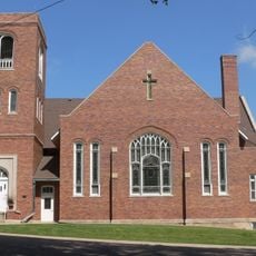
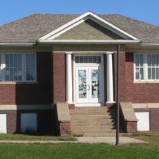
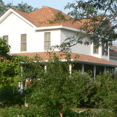
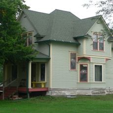
Brule County, County in South Dakota, United States

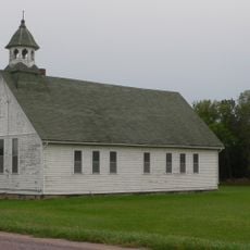
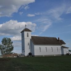
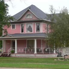
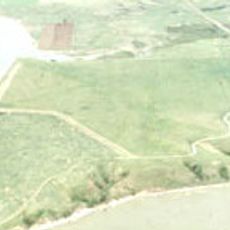
Brule County is an administrative area in central South Dakota with the Missouri River marking its eastern edge. The county contains farmland, small towns, and natural features spread across its landscape.

The county was created in 1879 during a period of territorial reorganization and settlement expansion across the region. This formation followed the westward movement and reshaped how the area was governed.

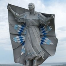
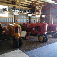
Agricultural life shapes how residents experience this place, with farms and ranches defining the landscape and community rhythms. Family-owned operations passed down through generations remain central to how people here live and work together.

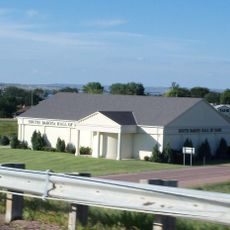
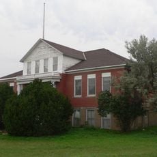
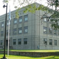
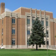
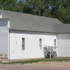
Chamberlain, the county seat, sits centrally and provides essential services for travelers in an accessible location. The best time to visit is during mild weather when roads are clear and outdoor activities are readily available.

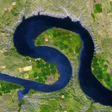
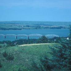
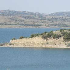
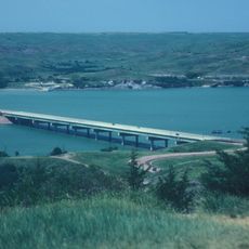
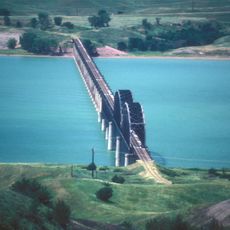
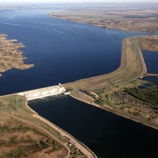
The Missouri River forms more than just a boundary, serving historically as a vital trade and transport route for early settlers. Today this waterway remains a defining feature that shapes how people use and experience the eastern landscape.

Location: South Dakota

Inception: 1879

Capital city: Chamberlain

Shares border with: Buffalo County, Jerauld County, Aurora County, Charles Mix County, Lyman County, Gregory County

Website: http://brulecounty.org

GPS coordinates: 43.72000,-99.06000

Latest update: December 10, 2025 15:47

Photos
Around this place
Dignity
United States of America

Dignity

23.6 km
Big Bend
United States of America

Big Bend

61.6 km
Chamberlain Bridge
United States of America

Chamberlain Bridge

24.5 km
South Dakota Hall of Fame
United States of America

South Dakota Hall of Fame

24.2 km
Snake Creek Recreation Area
United States of America

Snake Creek Recreation Area

37.1 km
Fort Thompson Mounds
United States of America

Fort Thompson Mounds

42.9 km
Akta Lakota Museum and Cultural Center
United States of America

Akta Lakota Museum and Cultural Center

24.3 km
Lewis and Clark Memorial Bridge
United States of America

Lewis and Clark Memorial Bridge

24.9 km
Underwood United Methodist Church
United States of America

Underwood United Methodist Church

32 km
Chamberlain Rail Bridge
United States of America

Chamberlain Rail Bridge

25.5 km
Holy Trinity Church
United States of America

Holy Trinity Church

8.5 km
Patten Consolidated School
United States of America

Patten Consolidated School

31.7 km
Aurora County Courthouse
United States of America

Aurora County Courthouse

46.3 km
Jerauld County Courthouse
United States of America

Jerauld County Courthouse

56 km
Robert S. Vessey House
United States of America

Robert S. Vessey House

55.9 km
Church of Christ in LaRoche Township
United States of America

Church of Christ in LaRoche Township

29.5 km
Methodist Episcopal Church of Wessington Springs
United States of America

Methodist Episcopal Church of Wessington Springs

56 km
William P. Smith House
United States of America

William P. Smith House

52 km
Dallas Carnegie Library
United States of America

Dallas Carnegie Library

65.3 km
Raesly House
United States of America

Raesly House

47.2 km
Hofmeister House
United States of America

Hofmeister House

28.1 km
Hilton House
United States of America

Hilton House

27.9 km
Wessington Springs Carnegie Library
United States of America

Wessington Springs Carnegie Library

55.9 km
Crow Creek Site
United States of America

Crow Creek Site

36.2 km
South Dakota Hall of Fame
United States of America

South Dakota Hall of Fame

24.2 km
Wessington Springs Opera House
United States of America

Wessington Springs Opera House

56.1 km
South Dakota Tractor Museum
United States of America

South Dakota Tractor Museum

8.3 km
Lake Sharpe
United States of America

Lake Sharpe

48.5 km
Show the full map
Reviews

Visited this place? Tap the stars to rate it and share your experience / photos with the community! Try now! You can cancel it anytime.

Administrative divisions
« Brule County - County in South Dakota, United States » is provided by Around Us (aroundus.com). Images and texts are derived from Wikimedia project under a Creative Commons license. You are allowed to copy, distribute, and modify copies of this page, under the conditions set by the license, as long as this note is clearly visible.

Discover hidden gems everywhere you go!

From secret cafés to breathtaking viewpoints, skip the crowded tourist spots and find places that match your style. Our app makes it easy with voice search, smart filtering, route optimization, and insider tips from travelers worldwide. Download now for the complete mobile experience.

Around Us App Screenshot

A unique approach to discovering new places

Le Figaro

All the places worth exploring

France Info

A tailor-made excursion in just a few clicks

20 Minutes