South Dakota, U.S. state in midwestern United States
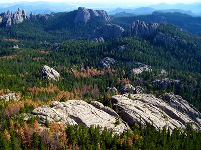
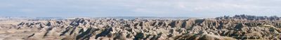
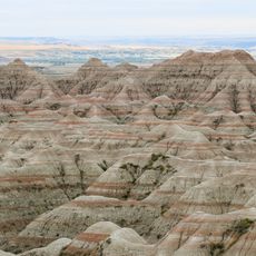
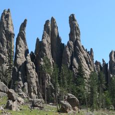
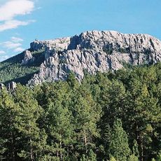
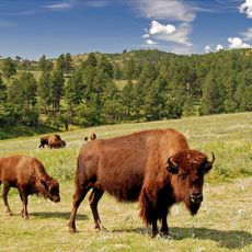
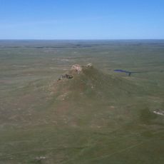
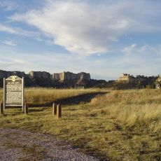
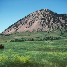
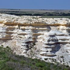
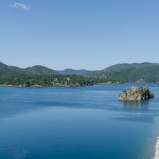
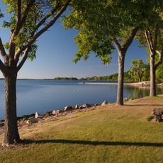
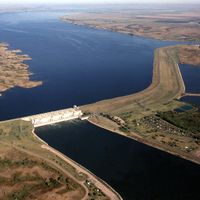
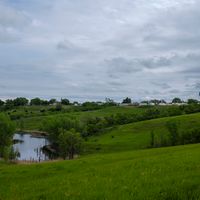
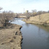
South Dakota is a state in the midwestern United States, known for its wide prairies in the east and rugged plains and canyons in the west. The Missouri River divides the territory into two geographically distinct halves: fertile farmland on one side, dry grasslands and prominent butte formations on the other.
On November 2, 1889, South Dakota became the fortieth state of the United States, alongside North Dakota, after President Harrison deliberately shuffled the signing papers to avoid establishing precedence. Before statehood, these lands were part of the Dakota Territory, which drew settlers rapidly after gold discoveries in the Black Hills and the construction of railroads.
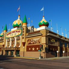
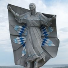
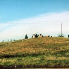
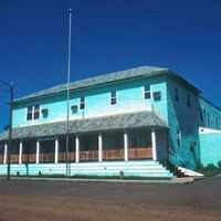
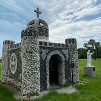
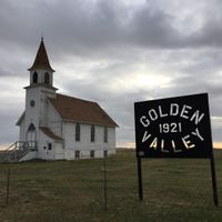
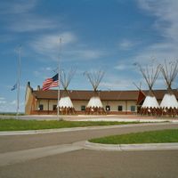
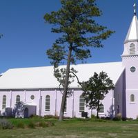
Nine Native American reservations maintain the traditions of the Dakota, Lakota and Nakota peoples through powwows, language programs and ceremonies that visitors can sometimes attend. In smaller towns and rural communities, residents keep alive the customs of pioneer life, visible in rodeos, county fairs and community gatherings that shape daily social rhythms.
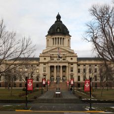
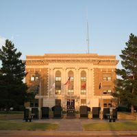
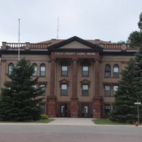
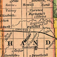
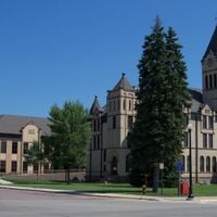
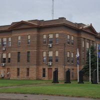
The capital Pierre sits centrally on the Missouri and serves as the government seat, while Sioux Falls in the east is the largest city and economic center. Travelers will encounter long, often lightly trafficked roads between towns, so keeping adequate fuel and good maps is advisable.
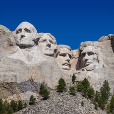
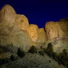
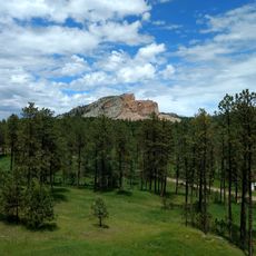
Mount Rushmore in the Black Hills displays four presidential faces carved into granite, each roughly 60 feet (18 meters) high, drawing millions of visitors annually. Less known is the nearby Crazy Horse Memorial, a still unfinished equestrian monument intended to be larger than Rushmore and funded by a private foundation without government support.
The community of curious travelers
AroundUs brings together thousands of curated places, local tips, and hidden gems, enriched daily by 60,000 contributors worldwide.