Tripp County

Log in to your account

AroundUs is a community-driven map of interesting places, built by curious explorers like you. It grows with every review, story, and photo you share.
Connect to save your favorite spots, contribute locations, and create personalized routes.
By continuing, you accept our Terms and Conditions and our Privacy Policy
Add to collection
Map
Suggest a change
Share

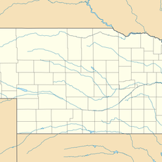
Tripp County, County in South Dakota, United States
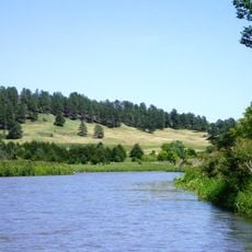
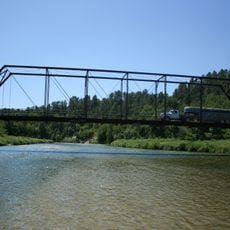
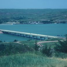
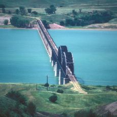
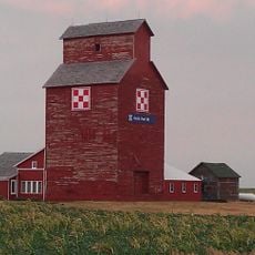
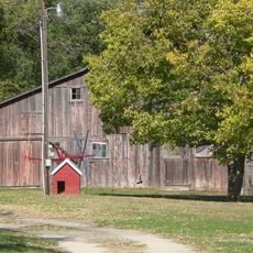
Tripp County extends across 1,618 square miles of rolling hills with the White River marking its northern boundary and Nebraska state line at its southern edge.

The territory received its designation as Tripp County in 1873, named after Bartlett Tripp, who served as a lawyer, judge, and diplomat in the region.

English remains the primary language for 97 percent of residents, while Dakota language speakers represent about 2 percent of the county population.
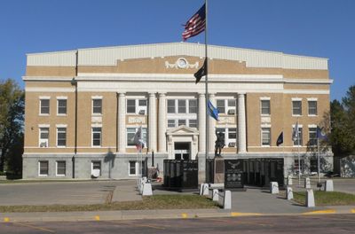
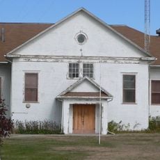
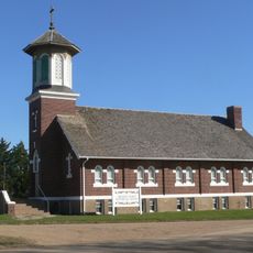
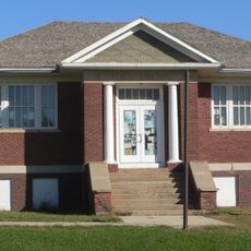
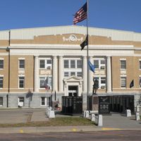
The county courthouse in Winner provides administrative services, driver license renewals, and various departmental offices for local residents every weekday.

The county maintains specific burn restrictions and environmental management programs through its Weed and Pest Management department to protect natural resources.

Location: South Dakota

Inception: 1873

Capital city: Winner

Shares border with: Lyman County, Keya Paha County, Cherry County, Gregory County, Todd County, Mellette County

Website: http://trippcounty.us

GPS coordinates: 43.34000,-99.88000

Latest update: April 5, 2025 22:23

Around this place
Show the full map
Dignity
United States of America

Dignity

66.2 km
Smith Falls
United States of America

Smith Falls

61.5 km
Niobrara National Scenic River
United States of America

Niobrara National Scenic River

62 km
Chamberlain Bridge
United States of America

Chamberlain Bridge

68.3 km
Fort Niobrara National Wildlife Refuge
United States of America

Fort Niobrara National Wildlife Refuge

69.1 km
South Dakota Hall of Fame
United States of America

South Dakota Hall of Fame

66.9 km
Snake Creek Recreation Area
United States of America

Snake Creek Recreation Area

61.8 km
Niobrara Valley Preserve
United States of America

Niobrara Valley Preserve

63.1 km
Akta Lakota Museum and Cultural Center
United States of America

Akta Lakota Museum and Cultural Center

70.2 km
Keya Paha County High School
United States of America

Keya Paha County High School

58.3 km
Brewer Bridge
United States of America

Brewer Bridge

60.4 km
Bell Bridge
United States of America

Bell Bridge

61.2 km
Lewis and Clark Memorial Bridge
United States of America

Lewis and Clark Memorial Bridge

66.6 km
St. Augustine Church
United States of America

St. Augustine Church

31.6 km
Cherry County Courthouse
United States of America

Cherry County Courthouse

75.1 km
Valentine Public School
United States of America

Valentine Public School

74.9 km
Lewis Bridge
United States of America

Lewis Bridge

42.9 km
St. John's Catholic Church
United States of America

St. John's Catholic Church

40.2 km
Borman Bridge
United States of America

Borman Bridge

75.3 km
Chamberlain Rail Bridge
United States of America

Chamberlain Rail Bridge

66.1 km
Tripp County Veteran's Memorial
United States of America

Tripp County Veteran's Memorial

4.5 km
Berry State Aid Bridge
United States of America

Berry State Aid Bridge

62.5 km
Herrick Elevator
United States of America

Herrick Elevator

61.5 km
Church of Christ in LaRoche Township
United States of America

Church of Christ in LaRoche Township

65.8 km
F.M. Walcott House
United States of America

F.M. Walcott House

75.3 km
Dallas Carnegie Library
United States of America

Dallas Carnegie Library

31.6 km
Manthey Barn
United States of America

Manthey Barn

16.2 km
Distrito electoral de Valentine (condado de Cherry, Nebraska)
United States of America

Distrito electoral de Valentine (condado de Cherry, Nebraska)

75.3 km
Show the full map

Reviews

Visited this place? Tap the stars to rate it and share your experience / photos with the community! Try now! You can cancel it anytime.

Administrative divisions
« Tripp County: County in South Dakota, United States » is provided by Around Us (aroundus.com). Images and texts are derived from Wikimedia project under a Creative Commons license. You are allowed to copy, distribute, and modify copies of this page, under the conditions set by the license, as long as this note is clearly visible.

Discover hidden gems everywhere you go!

From secret cafés to breathtaking viewpoints, skip the crowded tourist spots and find places that match your style. Our app makes it easy with voice search, smart filtering, route optimization, and insider tips from travelers worldwide. Download now for the complete mobile experience.

Around Us App Screenshot

A unique approach to discovering new places

Le Figaro

All the places worth exploring

France Info

A tailor-made excursion in just a few clicks

20 Minutes