Enable Location

We need your location to show you interesting places around you

Discover nearby places

Find interesting locations and hidden gems around you

Precise directions

Get accurate directions and distances to places

Your location is never shared with other users. It's only used when you tap the location button.

Winner

Log in to your account

Start exploring — it's free

Trusted by 63,951 travelers worldwide

Continue with Google
Continue with Apple
or

We will send you a code to connect

By continuing, you accept our Terms and Conditions and our Privacy Policy

Check your inbox

We've sent a pincode in your inbox. Please enter the code below.

Discussion Reviews 1 Photos
18.4k Popularity

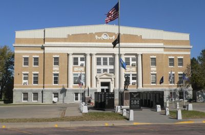
Winner, city in and county seat of Tripp County, South Dakota, United States

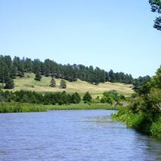
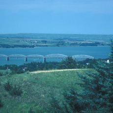
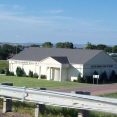
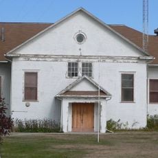
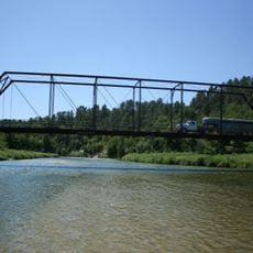
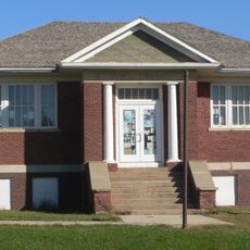
Winner is a small city in south central South Dakota serving as the county seat of Tripp County. The downtown area contains government offices, local shops, and cafés where residents gather, while open fields and cattle ranches define the surrounding landscape.

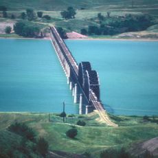
Winner was founded in 1909 when a railroad survey missed the nearby town of Lamro by two miles, causing the railroad to establish its station here instead, giving the city its name. This railroad connection allowed the town to grow quickly into the county seat it remains today.

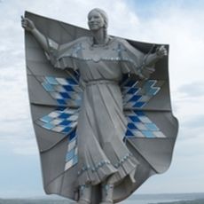
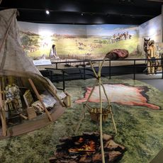
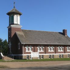
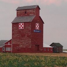
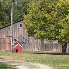
Winner reflects rural farming and ranching roots through its local museum and community events that celebrate the region's agricultural heritage. The town keeps these traditions alive in how residents gather and participate in seasonal fairs and market activities.

Winner sits at the intersection of highways 18, 183, and 44 making it accessible by car from multiple directions. The downtown area has restaurants and shops within walking distance, and a small airport serves those arriving by plane.

Winner owes its name to a railroad competition in 1909 where it was selected as the winner over nearby competing towns for the railroad connection. This origin story shaped the city's identity as a place that succeeded against the odds.

The community of curious travelers

AroundUs brings together thousands of curated places, local tips, and hidden gems, enriched daily by 60,000 contributors worldwide.

Start exploring
Location
Elevation above the sea
600 m
GPS coordinates
43.37389,-99.85778
Latest update
February 16, 2026 23:41
Around this place
Dignity
United States of America

Dignity

62.2 km
Smith Falls
United States of America

Smith Falls

65.7 km
Niobrara National Scenic River
United States of America

Niobrara National Scenic River

66.1 km
Chamberlain Bridge
United States of America

Chamberlain Bridge

64.3 km
Fort Niobrara National Wildlife Refuge
United States of America

Fort Niobrara National Wildlife Refuge

73.1 km
South Dakota Hall of Fame
United States of America

South Dakota Hall of Fame

62.9 km
Snake Creek Recreation Area
United States of America

Snake Creek Recreation Area

59.8 km
Niobrara Valley Preserve
United States of America

Niobrara Valley Preserve

67.2 km
Akta Lakota Museum and Cultural Center
United States of America

Akta Lakota Museum and Cultural Center

66.2 km
Keya Paha County High School
United States of America

Keya Paha County High School

61.7 km
Brewer Bridge
United States of America

Brewer Bridge

64.6 km
Carns State Aid Bridge
United States of America

Carns State Aid Bridge

77.6 km
Bell Bridge
United States of America

Bell Bridge

65.3 km
Lewis and Clark Memorial Bridge
United States of America

Lewis and Clark Memorial Bridge

62.6 km
St. Augustine Church
United States of America

St. Augustine Church

31.6 km
Cherry County Courthouse
United States of America

Cherry County Courthouse

79 km
Valentine Public School
United States of America

Valentine Public School

78.8 km
Lewis Bridge
United States of America

Lewis Bridge

45.6 km
St. John's Catholic Church
United States of America

St. John's Catholic Church

42 km
Borman Bridge
United States of America

Borman Bridge

79.3 km
Chamberlain Rail Bridge
United States of America

Chamberlain Rail Bridge

62.1 km
Tripp County Veteran's Memorial
United States of America

Tripp County Veteran's Memorial

329 m
Berry State Aid Bridge
United States of America

Berry State Aid Bridge

66.6 km
Herrick Elevator
United States of America

Herrick Elevator

61.4 km
Church of Christ in LaRoche Township
United States of America

Church of Christ in LaRoche Township

63.4 km
F.M. Walcott House
United States of America

F.M. Walcott House

79.2 km
Dallas Carnegie Library
United States of America

Dallas Carnegie Library

31.6 km
Manthey Barn
United States of America

Manthey Barn

18.9 km
Show the full map
Reviews
Share your experience

No review yet

Discussions
Start a discussion...

No discussion yet

« Winner - city in and county seat of Tripp County, South Dakota, United States » is provided by Around Us (aroundus.com). Images and texts are derived from Wikimedia project under a Creative Commons license. You are allowed to copy, distribute, and modify copies of this page, under the conditions set by the license, as long as this note is clearly visible.

Discover hidden gems everywhere you go!

From secret cafés to breathtaking viewpoints, skip the crowded tourist spots and find places that match your style. Our app makes it easy with voice search, smart filtering, route optimization, and insider tips from travelers worldwide. Download now for the complete mobile experience.

Around Us App Screenshot

A unique approach to discovering new places

Le Figaro

All the places worth exploring

France Info

A tailor-made excursion in just a few clicks

20 Minutes

Around Us
Travel Guide & Maps
Download

Send to your phone

QR Code
1

Open the camera app on your mobile.

2

Point at the QR code with your camera. A notification will appear.

3

Tap the notification to open the link.