Niobrara National Scenic River, Protected river section in north-central Nebraska, United States.
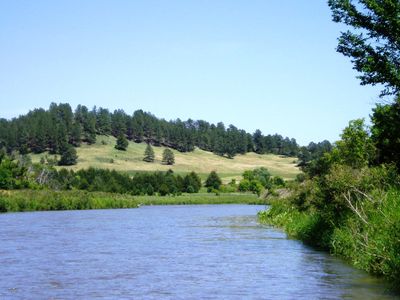
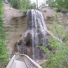
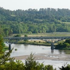
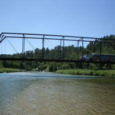
The Niobrara National Scenic River is a protected section of river in north-central Nebraska that winds through narrow valleys with multiple waterfalls and rapids. The landscape features dense pine forests along the banks and open areas where the terrain opens into wider valley floors.
Congress designated this river section as a National Scenic River in 1991, bringing it under National Park Service protection and management. This legal status implemented conservation measures designed to preserve both the natural landscape and the archaeological heritage of the area.
The river valley holds deep meaning for the Ponca people, whose historical settlements and burial grounds remain visible throughout the area. Local communities continue to connect with this landscape through stories and traditions tied to these ancestral sites.
The river is most accessible from June through August when water levels remain suitable for paddling and tubing activities. Checking conditions before arriving is wise, as water levels vary throughout the year and can affect what activities are possible on any given visit.
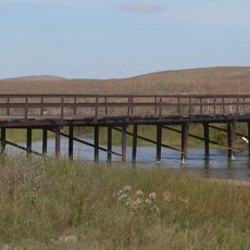
The river functions as a biological crossroads where six distinct ecosystems meet and overlap in a relatively compact area. This rare convergence allows visitors to encounter a diversity of habitats and plant life normally found across a much larger region.
The community of curious travelers
AroundUs brings together thousands of curated places, local tips, and hidden gems, enriched daily by 60,000 contributors worldwide.