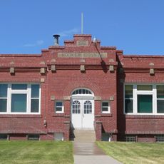
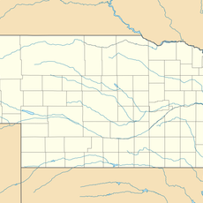
Cherry County, County administrative division in Nebraska, US
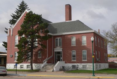
Cherry County is a large administrative area in Nebraska's Sandhills region with Valentine serving as its main center. The county covers rolling grasslands and sand dunes, comprising much of the state's most expansive county territory.
The county was established in 1883 and named after Lieutenant Samuel A. Cherry, a military officer who died in service. Its creation coincided with the period when settlers were expanding into the Nebraska interior.
American Indian nations including the Lakota, Pawnee, and Cheyenne lived across this territory for generations before settlers arrived in the 1800s. The land itself still reflects their long presence through natural features and place names throughout the region.
The county spans two time zones, with the eastern portion observing Central Time and the western section following Mountain Time. Travelers moving through the area should account for this time difference when planning activities or travel.
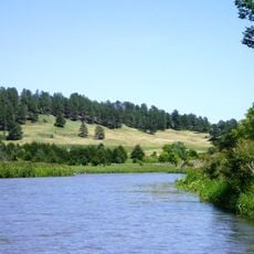
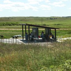
Fort Niobrara National Wildlife Refuge within the county protects herds of bison, elk, and pronghorn antelope roaming their natural grassland habitat. This protected area offers a rare glimpse into how the Great Plains prairie ecosystem functioned before widespread settlement.
The community of curious travelers
AroundUs brings together thousands of curated places, local tips, and hidden gems, enriched daily by 60,000 contributors worldwide.