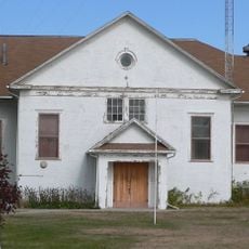
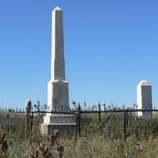
Fort Niobrara, Military fort in north central Nebraska, United States.
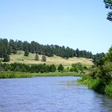
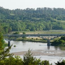
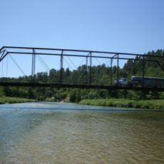
Fort Niobrara was built on the south bank of the Niobrara River using adobe and limestone construction in a location chosen for military control and supply management. The site included residential quarters, storage buildings, and administrative structures arranged to support ongoing operations and coordinate with surrounding settlements.
General George Crook selected the site in 1879 and construction began in 1880 to monitor tribal activities in the region. The fort closed in 1906 when the military presence was no longer needed in this area.
The fort brought together soldiers from different backgrounds who worked and lived in this remote location along the river. Its role as a supply hub meant it became a meeting point where military operations and civilian needs intersected regularly.
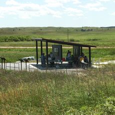
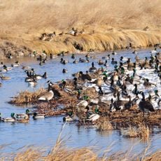
The site is now part of the Fort Niobrara National Wildlife Refuge with markers showing where the original military buildings once stood. Visitors can walk the grounds and see the lay of the land while observing the natural surroundings that define the area today.
A railroad arrived at the fort in 1882 and suddenly connected this remote military outpost to the wider region economically. This connection transformed the fort from an isolated post into a supply and trade hub that benefited settlements for miles around.
The community of curious travelers
AroundUs brings together thousands of curated places, local tips, and hidden gems, enriched daily by 60,000 contributors worldwide.