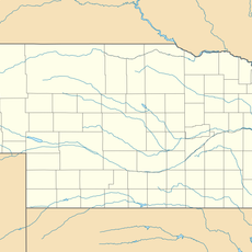
Brown County, Administrative county in north central Nebraska, United States.
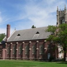
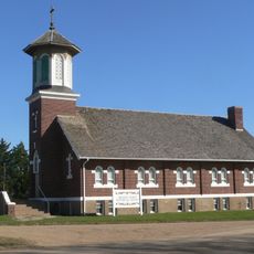
Brown County is an administrative county in north central Nebraska consisting of grasslands and agricultural areas. Ainsworth serves as the main town, while Long Pine and Johnstown are smaller settlements scattered throughout the region.
The county was established in 1883 and named after two state legislators who introduced the bill creating it. Its founding reflected Nebraska's broader expansion and administrative organization during the settlement era.
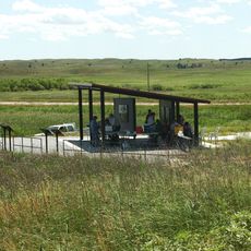
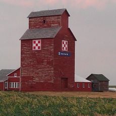
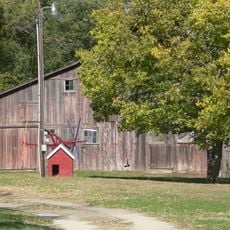
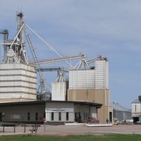
Ranching has shaped life here for generations, with cattle operations and farming defining the rhythm of the community. As you travel through the county, you see working landscapes, ranch properties, and the practical heritage that people continue to maintain today.
Two main highways intersect near Ainsworth, providing key routes through the county for getting around and connecting communities. These roads link the scattered towns and allow movement across the wide open spaces of the region.
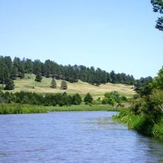
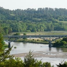
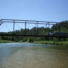
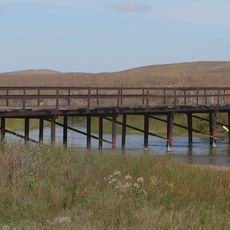
A scenic river flows through the northern section, creating natural borders and drawing visitors for paddling, fishing, and wildlife watching. This waterway remains one of the most striking natural features of the county and offers outdoor recreation away from developed areas.
The community of curious travelers
AroundUs brings together thousands of curated places, local tips, and hidden gems, enriched daily by 60,000 contributors worldwide.