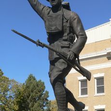
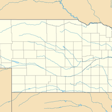
Keya Paha County, County in northern Nebraska, United States
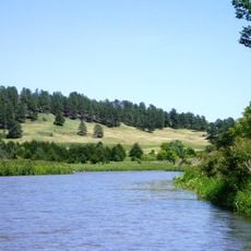
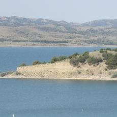
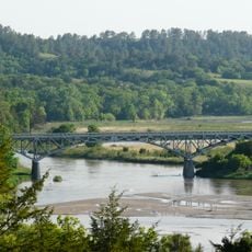
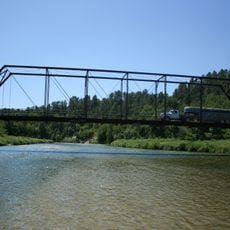
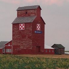
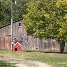
Keya Paha County is a rural county in northern Nebraska, made up of farmland, grazing land, and rolling hills. The Keya Paha River runs through the northeastern part of the county, giving shape to the local landscape.
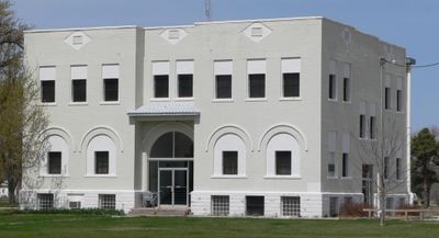
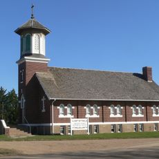
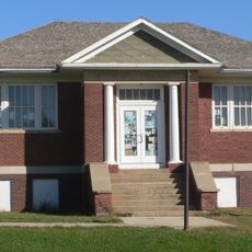
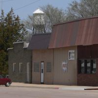
The county was separated from Brown County in 1884 and given its own administration. Springview became the county seat after a vote in 1885 among fifteen competing locations.
The county's name comes from the Dakota language and means turtle hill, referring to the rounded hills of northern Nebraska. This connection to an indigenous language gives the area a name that still carries meaning today.
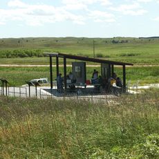
The area is largely rural and best visited by car, as public transport options are very limited. Those needing official services will find the county buildings in Springview open on weekdays.
Keya Paha County is one of the least populated counties in Nebraska, yet Springview has held its role as county seat since 1885. That seat was decided by a vote among fifteen competing towns, which was a rare process for such a small and sparsely settled area.
The community of curious travelers
AroundUs brings together thousands of curated places, local tips, and hidden gems, enriched daily by 60,000 contributors worldwide.