Enable Location

We need your location to show you interesting places around you

Discover nearby places

Find interesting locations and hidden gems around you

Precise directions

Get accurate directions and distances to places

Your location is never shared with other users. It's only used when you tap the location button.

Campbell County

Log in to your account

Start exploring — it's free

Trusted by 62,845 travelers worldwide

Continue with Google
Continue with Apple
or

We will send you a code to connect

By continuing, you accept our Terms and Conditions and our Privacy Policy

Check your inbox

We've sent a pincode in your inbox. Please enter the code below.

Campbell County, County in South Dakota, United States

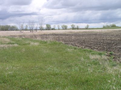
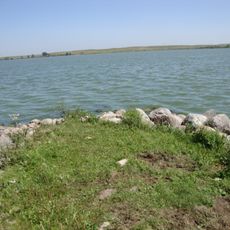
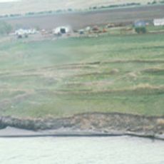
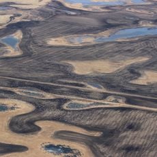
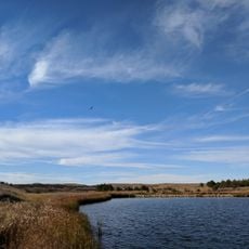
Campbell County is an administrative division in South Dakota that stretches along the Missouri River, blending farmland with open prairie. The landscape features rolling hills and river valleys where agriculture and ranching shape the terrain.

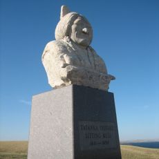
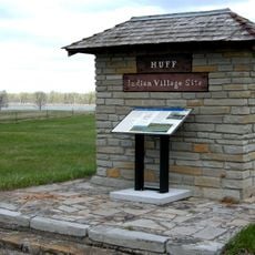
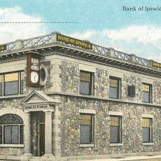
The county was established in 1883 and named after a Dakota Territory legislator from the 1800s. Its founding reflected the broader settlement patterns that brought European immigrants to the prairie region.

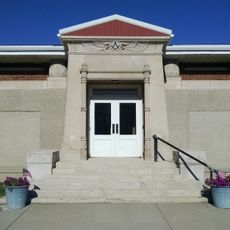
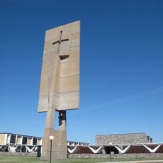
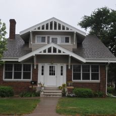
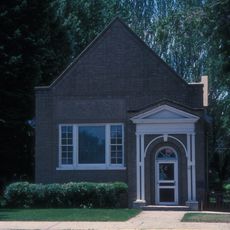
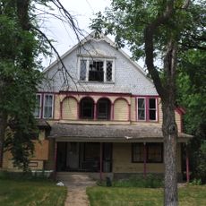
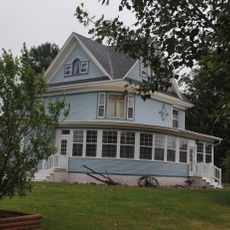
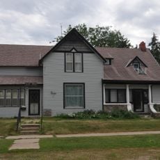
The religious traditions brought by early settlers remain visible in the churches and community gatherings that shape everyday life today. These practices connect people to their heritage and define much of what happens in local towns throughout the year.

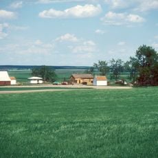
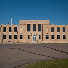
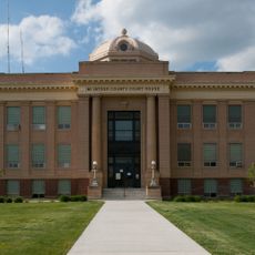
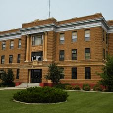
Mound City serves as the main administrative hub and is accessible via U.S. Highway 83, which connects to surrounding regions. The road network provides straightforward access to towns and riverside areas throughout the county.

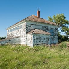
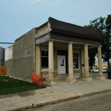
The population declined sharply from the early 1900s to today, making it one of the least densely populated counties in the state. This shift mirrors broader trends in rural outmigration that have reshaped many small county communities.

The community of curious travelers

AroundUs brings together thousands of curated places, local tips, and hidden gems, enriched daily by 60,000 contributors worldwide.

Start exploring
Location
Inception
1883
Capital city
Mound City
Shares border with
Emmons County, McIntosh County, McPherson County, Walworth County, Corson County
GPS coordinates
45.76000,-100.05000
Latest update
December 10, 2025 15:48
Around this place
Sitting Bull Monument
United States of America

Sitting Bull Monument

43.4 km
Fort Rice
United States of America

Fort Rice

93.4 km
Ludwig and Christina Welk Homestead
United States of America

Ludwig and Christina Welk Homestead

45.1 km
Huff Archeological Site
United States of America

Huff Archeological Site

105.9 km
Beaver Lake State Park
United States of America

Beaver Lake State Park

78.9 km
Molstad Village
United States of America

Molstad Village

41.2 km
Mobridge Masonic Temple
United States of America

Mobridge Masonic Temple

38.7 km
Annunciation Monastery
United States of America

Annunciation Monastery

119.8 km
Hotel Brown
United States of America

Hotel Brown

119.6 km
Emmons County Courthouse
United States of America

Emmons County Courthouse

58.3 km
G.L. Stocker Blacksmith Shop
United States of America

G.L. Stocker Blacksmith Shop

83.7 km
D.H. and Leah Curran House
United States of America

D.H. and Leah Curran House

83.9 km
United States of America

Holy Spirit Chapel

97.7 km
Kulm Wetland Management District
United States of America

Kulm Wetland Management District

105.2 km
McIntosh County Courthouse
United States of America

McIntosh County Courthouse

60.9 km
Bank of Bowdle
United States of America

Bank of Bowdle

45.9 km
A. H. Brown Public Library
United States of America

A. H. Brown Public Library

38.8 km
McPherson County Courthouse
United States of America

McPherson County Courthouse

86.4 km
Ipswich State Bank
United States of America

Ipswich State Bank

87.6 km
Walworth County Courthouse
United States of America

Walworth County Courthouse

28.2 km
Frank and Clara Turner House
United States of America

Frank and Clara Turner House

107.9 km
Laurens Polygonal Hog House
United States of America

Laurens Polygonal Hog House

118.7 km
George Holland House
United States of America

George Holland House

83.3 km
Potter County Courthouse
United States of America

Potter County Courthouse

83.9 km
Faulkton American Legion Hall
United States of America

Faulkton American Legion Hall

108.2 km
Gov. Frank M. Byrne House
United States of America

Gov. Frank M. Byrne House

108.4 km
Selby Opera House
United States of America

Selby Opera House

28.3 km
Little Moreau State Recreation Area
United States of America

Little Moreau State Recreation Area

93.4 km
Show the full map
Administrative divisions
« Campbell County - County in South Dakota, United States » is provided by Around Us (aroundus.com). Images and texts are derived from Wikimedia project under a Creative Commons license. You are allowed to copy, distribute, and modify copies of this page, under the conditions set by the license, as long as this note is clearly visible.

Discover hidden gems everywhere you go!

From secret cafés to breathtaking viewpoints, skip the crowded tourist spots and find places that match your style. Our app makes it easy with voice search, smart filtering, route optimization, and insider tips from travelers worldwide. Download now for the complete mobile experience.

Around Us App Screenshot

A unique approach to discovering new places

Le Figaro

All the places worth exploring

France Info

A tailor-made excursion in just a few clicks

20 Minutes

Around Us
Travel Guide & Maps
Download

Send to your phone

QR Code
1

Open the camera app on your mobile.

2

Point at the QR code with your camera. A notification will appear.

3

Tap the notification to open the link.