Grant County, County in northeastern South Dakota, United States.
Grant County is a county in northeastern South Dakota with gently rolling hills and agricultural lands throughout. The landscape features terrain that slopes toward the northeast and includes various farming communities and small towns connected by regional roads.
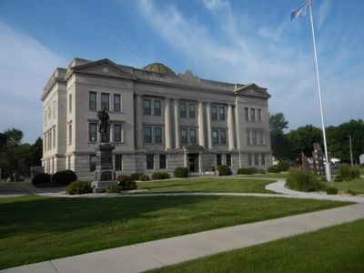
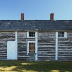
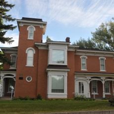
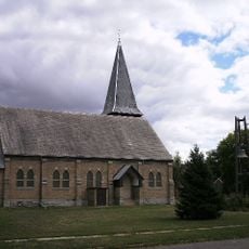
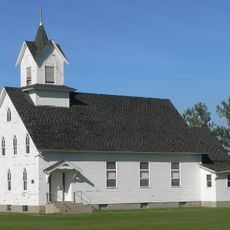
The county was founded in 1873 and named after President Ulysses S. Grant. German and Norwegian settlers arrived soon after and established farming communities that would shape the region for generations to come.
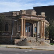
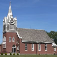
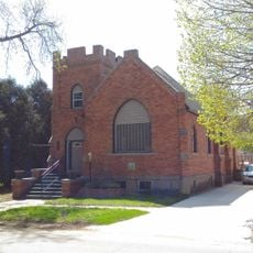
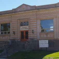
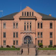
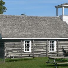
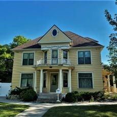
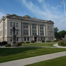
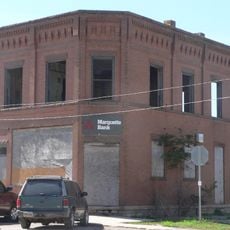
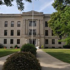
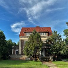
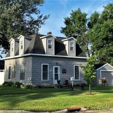
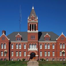
German and Norwegian immigrants shaped the communities and left their mark on local traditions, architecture, and family life. Visitors can notice this heritage in the way people gather, in local celebrations, and in the buildings throughout the towns.
Visiting requires a car, as Interstate 29 and U.S. Routes 12 and 81 are the main ways to get around the county. Public transportation is limited, so having your own vehicle makes getting between communities much easier.
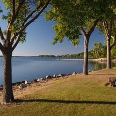
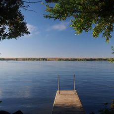
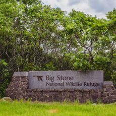
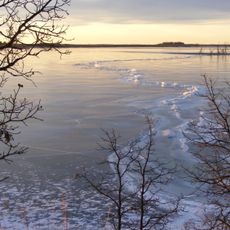
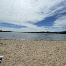
Big Stone Lake marks the lowest point in South Dakota and sits at the boundary between South Dakota and Minnesota. Water from this lake flows into the Minnesota River, making it a key geographical feature many visitors overlook.
The community of curious travelers
AroundUs brings together thousands of curated places, local tips, and hidden gems, enriched daily by 60,000 contributors worldwide.