Roberts County, County in northeastern South Dakota, United States
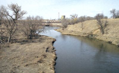
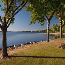
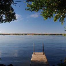
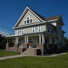
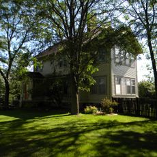
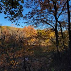
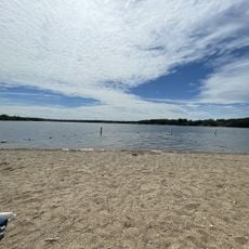
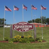
Roberts County is a county in northeastern South Dakota, bordered by Minnesota to the east and North Dakota to the north. The land is made up of gently rolling hills and farmland, with small towns scattered throughout and Sisseton serving as the county seat.
The county was established in 1883, during the early settlement of the northern plains. Its name likely refers to a figure from that period, though it is unclear whether it honors S.G. Roberts from Fargo or a French fur trader named Solomon Robar.
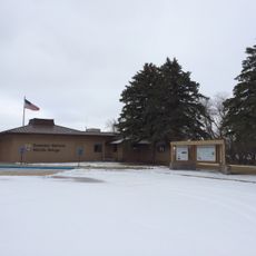
The Lake Traverse Indian Reservation covers a large part of the county, and the Sisseton Wahpeton Oyate continue to maintain their traditions as a living community. Local gatherings and community events give visitors a direct sense of this presence.
Several main roads cross the county and connect it to neighboring states, making it straightforward to reach by car from different directions. Those planning to explore the more rural areas should expect to drive, as public transport options are very limited.
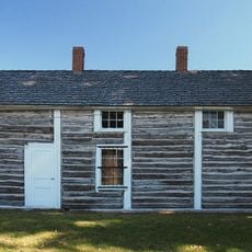
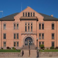
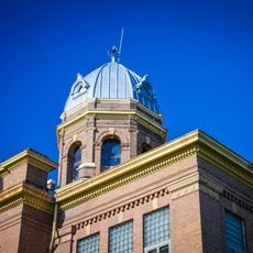
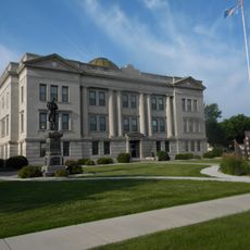
The courthouse in Sisseton, finished in 1903, has a restored rotunda that still shows its original color schemes and decorative designs from that era. These interior details are rarely so well kept in a building of this age and come as a surprise to most visitors.
The community of curious travelers
AroundUs brings together thousands of curated places, local tips, and hidden gems, enriched daily by 60,000 contributors worldwide.