Todd County, County in South Dakota, US
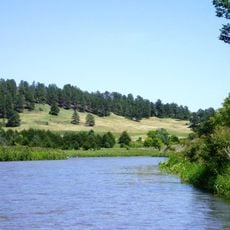
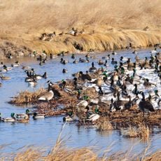
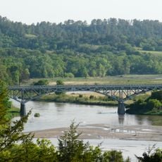
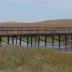
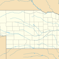
Todd County is an administrative division in South Dakota marked by rolling hills and semi-arid grasslands with numerous gullies cutting across the terrain. The county stretches across about 1,400 square miles and is shaped by drainage systems that flow toward the northeast.
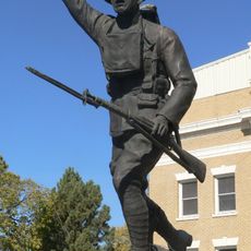
The county was established in 1909 and named after John Blair Smith Todd, a Dakota Territory delegate to the U.S. House of Representatives. This naming honored a key figure in the region's early territorial development.
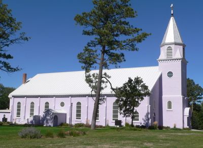
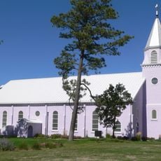
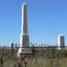
The entire area sits on the Rosebud Indian Reservation, where Sioux culture shapes daily life and community identity throughout the region.
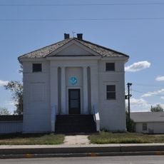
The county lacks its own administrative center and depends on Winner in neighboring Tripp County for essential government services like auditing and treasury functions. Visitors should know that many administrative operations are centralized outside the county.
The area remained one of the last three unorganized counties in the US until 1981 and received home rule status two years later. This late formalization made it an outlier in American administrative history.
Location: South Dakota
Inception: 1909
Capital city: Winner
Shares border with: Mellette County, Cherry County, Jackson County, Bennett County, Tripp County, Keya Paha County
GPS coordinates: 43.18000,-100.73000
Latest update: December 7, 2025 19:30
Smith Falls
46.8 km
Niobrara National Scenic River
47.1 km
Valentine National Wildlife Refuge
77.5 km
Fort Niobrara National Wildlife Refuge
40.7 km
St. Francis Mission
14.8 km
Lacreek National Wildlife Refuge
70.1 km
Niobrara Valley Preserve
72.2 km
Bryan Bridge
42.1 km
Brewer Bridge
50.7 km
Bell Bridge
45.9 km
Cherry County Courthouse
36.8 km
Valentine Public School
37 km
Lewis Bridge
91.2 km
Adamson Bridge
41.8 km
St. John's Catholic Church
96.6 km
Borman Bridge
40.3 km
Twin Bridge
94.3 km
Tripp County Veteran's Memorial
74.2 km
Berry State Aid Bridge
43.1 km
Inland Theater
81.6 km
Mt. Moriah Masonic Lodge No. 155
96.5 km
F.M. Walcott House
36.7 km
Spotted Tail Gravesite
12.1 km
Freier Round Barn
88.2 km
Murdo State Bank
78.8 km
Manthey Barn
77.1 km
Distrito electoral de Valentine (condado de Cherry, Nebraska)
39.5 km
Smith Falls State Park
46.5 kmVisited this place? Tap the stars to rate it and share your experience / photos with the community! Try now! You can cancel it anytime.
Discover hidden gems everywhere you go!
From secret cafés to breathtaking viewpoints, skip the crowded tourist spots and find places that match your style. Our app makes it easy with voice search, smart filtering, route optimization, and insider tips from travelers worldwide. Download now for the complete mobile experience.
A unique approach to discovering new places❞
— Le Figaro
All the places worth exploring❞
— France Info
A tailor-made excursion in just a few clicks❞
— 20 Minutes