Download the around.us app
For a better experience, use our mobile application.
Popularity :

Needles, Mountain range in South Dakota

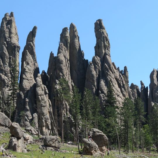
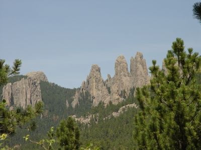
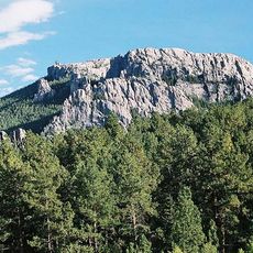
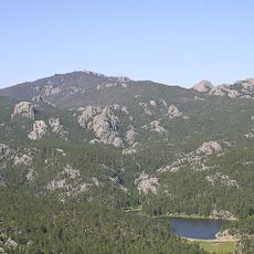
The Needles of the Black Hills of South Dakota are a region of eroded granite pillars, towers, and spires.

These formations were initially discovered by European Americans during the 1883 Custer Expedition.

The area is popular among rock climbing enthusiasts due to its unique geological formations.

Needles Highway, a scenic byway, provides access to these formations.

The 'Needle's Eye', a natural rock formation, is one of the most distinctive features.

Location: South Dakota

Elevation above the sea: 2,121 m

Material: metamorphic rock

GPS coordinates: 43.83690,-103.54900

Source: Wikimedia

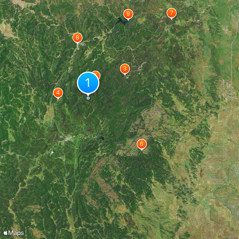
Around this place
Show the full map
Black Elk Wilderness
United States of America

Black Elk Wilderness

1.9 km
Sunday Gulch Trail
United States of America

Sunday Gulch Trail

2.2 km
Black Elk Peak Lookout Tower
United States of America

Black Elk Peak Lookout Tower

3.5 km
Black Elk Peak
United States of America

Black Elk Peak

3.5 km
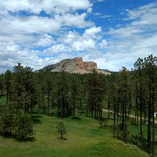
Crazy Horse Memorial
United States of America

Crazy Horse Memorial

5.9 km
Crazy Horse Memorial
United States of America

Crazy Horse Memorial

6.7 km
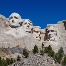
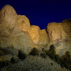
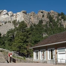
Mount Rushmore National Memorial
United States of America

Mount Rushmore National Memorial

8.7 km
Lincoln Borglum Museum
United States of America

Lincoln Borglum Museum

8.7 km
Peter Norbeck Summer House
United States of America

Peter Norbeck Summer House

8.7 km
Mount Rushmore
United States of America

Mount Rushmore

8.8 km
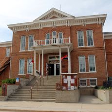
Custer County Courthouse
United States of America

Custer County Courthouse

8.9 km
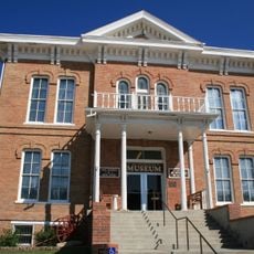
1881 Courthouse Museum
United States of America

1881 Courthouse Museum

8.9 km
Black Hills Playhouse
United States of America

Black Hills Playhouse

10.3 km
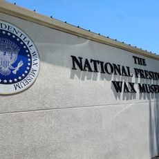
The National Presidential Wax Museum
United States of America

The National Presidential Wax Museum

11.4 km
Mount Coolidge Lookout Tower
United States of America

Mount Coolidge Lookout Tower

11.6 km
Keystone School
United States of America

Keystone School

12.2 km
Keystone Wye
United States of America

Keystone Wye

13 km
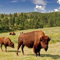
Custer State Park
United States of America

Custer State Park

14.6 km
Peter Norbeck Outdoor Education Center
United States of America

Peter Norbeck Outdoor Education Center

15.4 km
Rushmore Cave
United States of America

Rushmore Cave

17.9 km
Stratobowl
United States of America

Stratobowl

22.6 km
Rankin Ridge Lookout Tower
United States of America

Rankin Ridge Lookout Tower

24.1 km
Sitting Bull Crystal Cavern Dance Pavilion
United States of America

Sitting Bull Crystal Cavern Dance Pavilion

24.2 km
Jewel Cave Visitor Center
United States of America

Jewel Cave Visitor Center

25.5 km
Jewel Cave
United States of America

Jewel Cave

25.5 km
Jewel Cave Ranger Station
United States of America

Jewel Cave Ranger Station

26.2 km
Historic Trail and Cave Entrance
United States of America

Historic Trail and Cave Entrance

26.3 km
Pig Tail Bridge
United States of America

Pig Tail Bridge

26.6 km
Show the full map
« Needles - Mountain range in South Dakota » is provided by Around Us (aroundus.com). Images and texts are derived from Wikimedia project under a Creative Commons license. You are allowed to copy, distribute, and modify copies of this page, under the conditions set by the license, as long as this note is clearly visible.