Chest opened
+${chestReward.xp} XP
Explorer
NOUVEAU ×${chestReward.collectible.quantity}
tapez pour fermer

See the monuments around you in AR Open chests in the app

Around Us is built for your phone — point your camera at the streets and discover the monuments and places around you in augmented reality. Around Us is built for your phone — chests unlock when you walk, explore and capture nearby places.

•

Enable Location

We need your location to show you interesting places around you

Discover nearby places

Find interesting locations and hidden gems around you

Precise directions

Get accurate directions and distances to places

Your location is never shared with other users. It's only used when you tap the location button.

Black Elk Peak

Log in to your account

Start exploring — it's free

Trusted by 92,754 travelers worldwide

Continue with Google
Continue with Apple
or

We will send you a code to connect

By continuing, you accept our Terms and Conditions and our Privacy Policy

Check your inbox

We've sent a pincode in your inbox. Please enter the code below.

Black Elk Peak, Summit in Black Hills, South Dakota, US

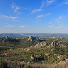
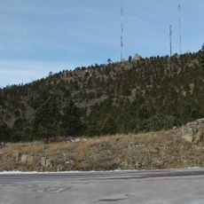
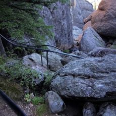
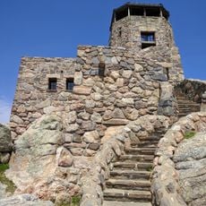
Black Elk Peak is the highest natural point in the Black Hills and in South Dakota, at 7,244 feet (2,208 m), in the Black Elk Wilderness of southern Pennington County. Its summit is a long, fractured ridge of pale gray granite, weathered into rounded spires, knobs and vertical fissures, with bare slabs above sparse evergreen slopes. A small flat-topped stone lookout sits on the crest.

The Lakota Sioux used this mountain for spiritual ceremonies long before European settlers arrived in the region. The official name was changed in 2016 to honor Black Elk after the former name had been considered problematic for decades.

The Lakota know the peak as Hiŋháŋ Káǧa, "owl-maker", after rock formations resembling owls, which they linked to impending death; they also call it Heȟáka Sápa, "elk black". It was renamed Black Elk Peak in 2016 for the Oglala Lakota medicine man Black Elk, who as a boy received his "Great Vision" on this summit and later returned with writer John Neihardt.

The trail begins at Sylvan Lake and runs about 7 miles (11 km) through granite outcrops and pine woods to the summit, where the stone lookout stands. The summit lies 3.7 miles west-southwest of Mount Rushmore. Starting early helps avoid crowds on sunny summer days and often brings clearer views in the morning.

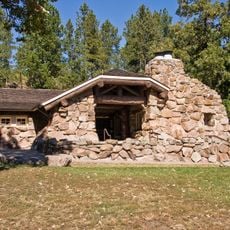
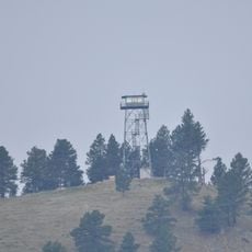
The stone lookout on the crest, its staircase, and a nearby dam and pumphouse were listed on the National Register of Historic Places in 1983. The tower stands at the end of the summit trail, and a secondary high point about 300 feet south of it was measured slightly lower in a 2016 GNSS survey.

The community of curious travelers

AroundUs brings together thousands of curated places, local tips, and hidden gems, enriched daily by 92,754 contributors worldwide.

Start exploring
Elevation above the sea
2,208 m
GPS coordinates
43.86600,-103.53103
Latest update
October 24, 2026 15:45
Around this place
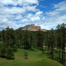
Crazy Horse Memorial
United States of America

Crazy Horse Memorial

5 mi
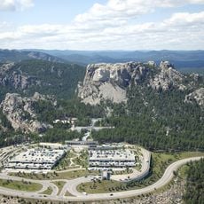
Mount Rushmore National Memorial
United States of America

Mount Rushmore National Memorial

4.2 mi
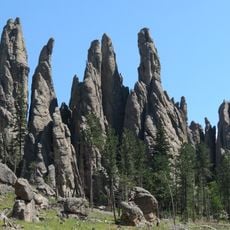
Needles
United States of America

Needles

2.2 mi
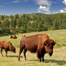
Custer State Park
United States of America

Custer State Park

9.3 mi
Pactola Lake
United States of America

Pactola Lake

14.4 mi
United States of America

Stratobowl

12 mi
Black Hills Institute of Geological Research, Inc.
United States of America

Black Hills Institute of Geological Research, Inc.

5.2 mi
Sheridan Lake
United States of America

Sheridan Lake

8.5 mi
Black Elk Wilderness
United States of America

Black Elk Wilderness

2.2 mi
Keystone Wye
United States of America

Keystone Wye

6 mi
Rushmore Cave
United States of America

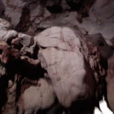
Rushmore Cave

9.9 mi
Black Hills Playhouse
United States of America

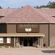
Black Hills Playhouse

6.6 mi
Pactola Dam
United States of America

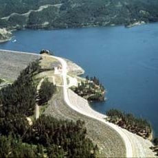
Pactola Dam

14.4 mi
Sitting Bull Crystal Cavern Dance Pavilion
United States of America

Sitting Bull Crystal Cavern Dance Pavilion

13.1 mi
Crazy Horse Memorial
United States of America

Crazy Horse Memorial

5.7 mi
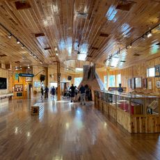
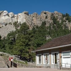
Lincoln Borglum Museum
United States of America

Lincoln Borglum Museum

3.8 mi
Big Thunder Gold Mine
United States of America

Big Thunder Gold Mine

6 mi
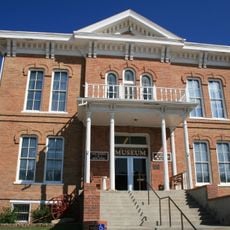
1881 Courthouse Museum
United States of America

1881 Courthouse Museum

7.7 mi
The National Presidential Wax Museum
United States of America

The National Presidential Wax Museum

5.5 mi
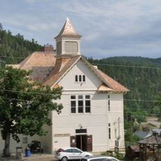
Keystone School
United States of America

Keystone School

5.9 mi
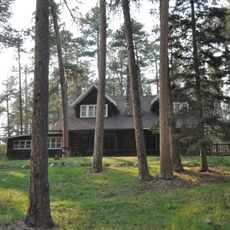
Peter Norbeck Summer House
United States of America

Peter Norbeck Summer House

5.9 mi
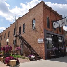
Garlock Building
United States of America

Garlock Building

7.6 mi
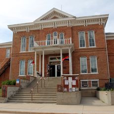
Custer County Courthouse
United States of America

Custer County Courthouse

7.7 mi
Black Elk Peak Lookout Tower
United States of America

Black Elk Peak Lookout Tower

30 ft
Mount Coolidge Lookout Tower
United States of America

Mount Coolidge Lookout Tower

8.7 mi
Sunday Gulch Trail
United States of America

Sunday Gulch Trail

2.3 mi
Peter Norbeck Outdoor Education Center
United States of America

Peter Norbeck Outdoor Education Center

10.1 mi
Rankin Ridge Lookout Tower
United States of America

Rankin Ridge Lookout Tower

16.8 mi
Show the full map
Reviews
Share your experience

No review yet

Discussions
Start a discussion...

No discussion yet

« Black Elk Peak - Summit in Black Hills, South Dakota, US » is provided by Around Us (aroundus.com). Images and texts are derived from Wikimedia project under a Creative Commons license. You are allowed to copy, distribute, and modify copies of this page, under the conditions set by the license, as long as this note is clearly visible.

Discover hidden gems everywhere you go!

From secret cafés to breathtaking viewpoints, skip the crowded tourist spots and find places that match your style. Our app makes it easy with voice search, smart filtering, route optimization, and insider tips from travelers worldwide. Download now for the complete mobile experience.
Around Us App Screenshot
❝

A unique approach to discovering new places❞

— Le Figaro

❝

All the places worth exploring❞

— France Info

❝

A tailor-made excursion in just a few clicks❞

— 20 Minutes

Around Us
Travel Guide & Maps
Download

Send to your phone

QR Code
1

Open the camera app on your mobile.

2

Point at the QR code with your camera. A notification will appear.

3

Tap the notification to open the link.