Enable Location

We need your location to show you interesting places around you

Discover nearby places

Find interesting locations and hidden gems around you

Precise directions

Get accurate directions and distances to places

Your location is never shared with other users. It's only used when you tap the location button.

Pennington County

Log in to your account

Start exploring — it's free

Trusted by 62,846 travelers worldwide

Continue with Google
Continue with Apple
or

We will send you a code to connect

By continuing, you accept our Terms and Conditions and our Privacy Policy

Check your inbox

We've sent a pincode in your inbox. Please enter the code below.

Pennington County, Administrative county in Western South Dakota, United States

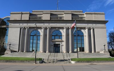
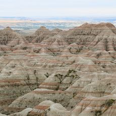
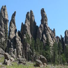
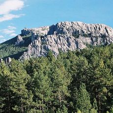
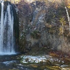
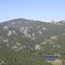
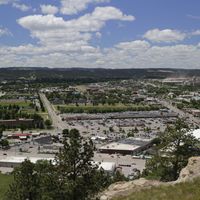
Pennington County is an administrative county in western South Dakota covering approximately 2,784 square miles. It encompasses Rapid City and extends across urban centers alongside forested areas of the Black Hills, creating a varied landscape.

The county was established in 1875 as the Black Hills Gold Rush drew settlers to the region. From this era of resource extraction, an organized administrative region gradually developed with Rapid City as its center.

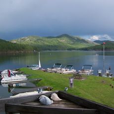
The area has deep roots in mining heritage and settlement patterns that shaped its communities. People here maintain strong ties to the Black Hills region, which continues to influence local identity and gathering places.

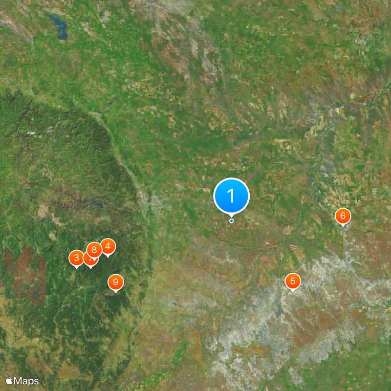
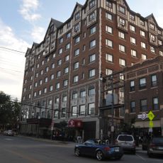
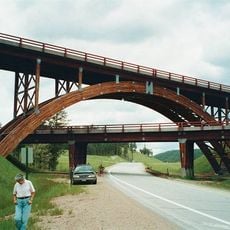
Visitors will find modern services and infrastructure centered in Rapid City, while more rural areas require longer travel times. Those exploring the landscape should prepare for driving distances and consider seasonal road conditions throughout the region.

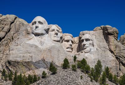
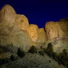
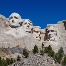
The region is known for its proximity to Mount Rushmore and its four presidential heads carved into the mountain, one of the nation's most visited monuments. This monumental rock sculpture has shaped the character and economy of surrounding areas for decades.

The community of curious travelers

AroundUs brings together thousands of curated places, local tips, and hidden gems, enriched daily by 60,000 contributors worldwide.

Start exploring
Location
Inception
1875
Capital city
Rapid City
Shares border with
Meade County, Custer County, Oglala Lakota County, Jackson County, Haakon County, Ziebach County, Lawrence County, Weston County
GPS coordinates
44.01000,-102.82000
Latest update
December 17, 2025 08:29
Around this place
Mount Rushmore National Memorial
United States of America

Mount Rushmore National Memorial

53.3 km
Mount Rushmore
United States of America

Mount Rushmore

53.3 km
Crazy Horse Memorial
United States of America

Crazy Horse Memorial

67.2 km
Badlands National Park
United States of America

Badlands National Park

38.7 km
Wall Drug
United States of America

Wall Drug

46.3 km
Needles
United States of America

Needles

61.5 km
Black Elk Peak
United States of America

Black Elk Peak

59.2 km
Custer State Park
United States of America

Custer State Park

56.3 km
Minuteman Missile National Historic Site
United States of America

Minuteman Missile National Historic Site

53.5 km
Bear Butte
United States of America

Bear Butte

70.9 km
Pactola Lake
United States of America

Pactola Lake

54.3 km
Spearfish Canyon
United States of America

Spearfish Canyon

97.2 km
Dinosaur Park
United States of America

Dinosaur Park

35.1 km
United States of America

Old Style Saloon No. 10

83.1 km
Chapel in the Hills
United States of America

Chapel in the Hills

38.6 km
Black Hills National Cemetery
United States of America

Black Hills National Cemetery

65.9 km
Hotel Alex Johnson
United States of America

Hotel Alex Johnson

33.5 km
Reptile Gardens
United States of America

Reptile Gardens

36.2 km
South Dakota Air and Space Museum
United States of America

South Dakota Air and Space Museum

24.5 km
Black Hills Institute of Geological Research, Inc.
United States of America

Black Hills Institute of Geological Research, Inc.

61.1 km
Rapid City High School
United States of America

Rapid City High School

33.5 km
United States of America

Adams Museum & House

83.2 km
Sheridan Lake
United States of America

Sheridan Lake

50.7 km
Black Elk Wilderness
United States of America

Black Elk Wilderness

59.9 km
United States of America

Sitting Bull Crystal Caverns

39.1 km
United States of America

Badlands Wilderness

42.3 km
Keystone Wye
United States of America

Keystone Wye

50.7 km
United States of America

Statue of a Quarter Pounder

28.1 km
Show the full map
Administrative divisions
« Pennington County - Administrative county in Western South Dakota, United States » is provided by Around Us (aroundus.com). Images and texts are derived from Wikimedia project under a Creative Commons license. You are allowed to copy, distribute, and modify copies of this page, under the conditions set by the license, as long as this note is clearly visible.

Discover hidden gems everywhere you go!

From secret cafés to breathtaking viewpoints, skip the crowded tourist spots and find places that match your style. Our app makes it easy with voice search, smart filtering, route optimization, and insider tips from travelers worldwide. Download now for the complete mobile experience.

Around Us App Screenshot

A unique approach to discovering new places

Le Figaro

All the places worth exploring

France Info

A tailor-made excursion in just a few clicks

20 Minutes

Around Us
Travel Guide & Maps
Download

Send to your phone

QR Code
1

Open the camera app on your mobile.

2

Point at the QR code with your camera. A notification will appear.

3

Tap the notification to open the link.