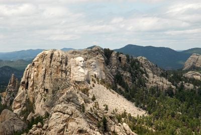
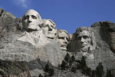
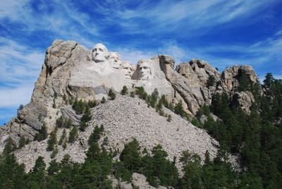
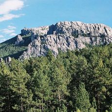
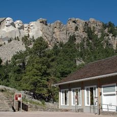
Mount Rushmore, Monumental sculpture in Black Hills, South Dakota, US.
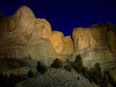
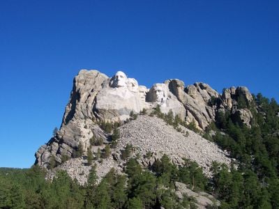
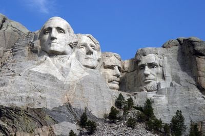
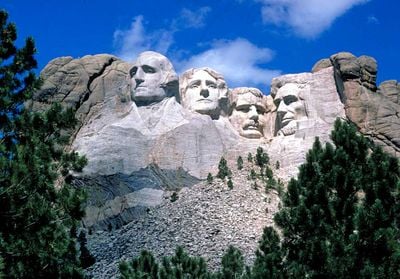
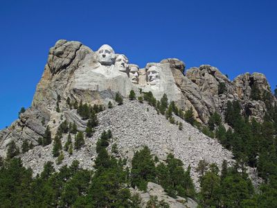
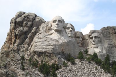
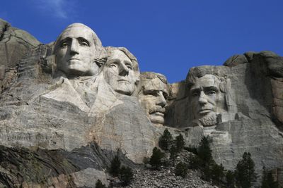
Mount Rushmore is a carved granite cliff in the Black Hills of South Dakota displaying the faces of four presidents. Each head rises about 60 feet (18 meters) tall, with eyes roughly 11 feet (3 meters) across and noses extending 20 feet (6 meters) from the rock surface. Natural fissures and weathering patterns trace through the stone, giving texture to the foreheads and cheekbones that shift slightly with every change in light and shadow.
Work began in 1927 under sculptor Gutzon Borglum, who chose this cliff for its fine grain and southeastern exposure. Carving continued for fourteen years using dynamite and pneumatic hammers until funding ended in 1941 after his death. The project employed hundreds of miners and stonecutters who removed roughly 450,000 tons (410,000 metric tons) of rock but never completed the planned torsos.
Visitors gather at dawn and sunset to see the faces change under shifting light, often standing in silence as shadows move across the granite. Families pose for photographs from the viewing terrace while park rangers answer questions about the figures and the surrounding forest. The monument draws people seeking connection to national memory, though its presence on land considered sacred by indigenous communities remains a source of conversation and reflection.
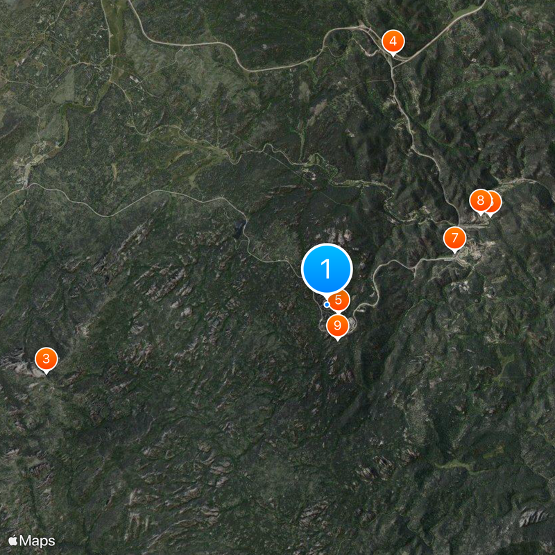
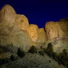
The site stays open year round, though summer brings the most crowds and an evening lighting program. Trails and viewing platforms offer angles from below and to the side, with a half-mile (800-meter) path winding through ponderosa pines for closer perspectives. Accessible walkways and designated parking serve visitors with mobility needs, while restrooms and food services cluster near the entrance.
A carved chamber sits behind the sculpture, hidden beneath tons of rock and sealed since 1998. Workers placed porcelain panels inscribed with founding documents and presidential biographies inside a titanium vault, meant as a time capsule for future generations. The space remains closed to visitors and lies several meters deep within the cliff face, inaccessible except by drilling through solid granite.
The community of curious travelers
AroundUs brings together thousands of curated places, local tips, and hidden gems, enriched daily by 60,000 contributors worldwide.