Enable Location

We need your location to show you interesting places around you

Discover nearby places

Find interesting locations and hidden gems around you

Precise directions

Get accurate directions and distances to places

Your location is never shared with other users. It's only used when you tap the location button.

Mellette County

Log in to your account

Start exploring — it's free

Trusted by 62,844 travelers worldwide

Continue with Google
Continue with Apple
or

We will send you a code to connect

By continuing, you accept our Terms and Conditions and our Privacy Policy

Check your inbox

We've sent a pincode in your inbox. Please enter the code below.

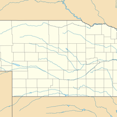
Mellette County, Administrative county in South Dakota, United States

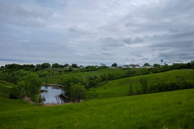
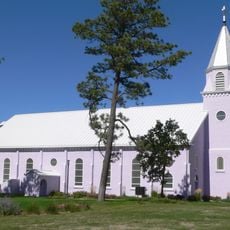
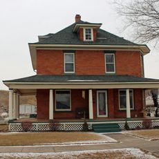
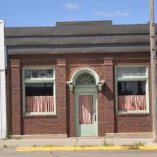
Mellette County is an administrative division in central South Dakota featuring rolling terrain, scattered lakes, and farmland. The county has White River as its administrative center and supports a rural population distributed across its area.

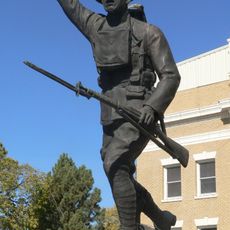
The county was established in 1909 and named after Arthur C. Mellette, the final territorial governor who later became the region's first state governor. This naming reflected his important role in the development of South Dakota.

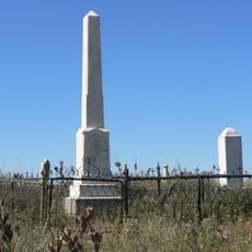
The land carries strong Native American presence, with a substantial portion designated as part of the Rosebud Indian Reservation. This heritage shapes the community's character and the way people live together in the region.

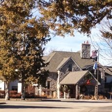
Visitors should expect distances between locations since this is rural agricultural land with sparse settlement. Services and facilities cluster around White River, making it the logical center point for any administrative or supply needs.

Nearly half the population has Native American ancestry, making this one of the areas with the highest Indigenous representation in the state. This distinctive demographic shape gives the county a unique cultural and social character.

The community of curious travelers

AroundUs brings together thousands of curated places, local tips, and hidden gems, enriched daily by 60,000 contributors worldwide.

Start exploring
Location
Inception
1909
Capital city
White River
Elevation above the sea
618 m
Shares border with
Jones County, Lyman County, Tripp County, Todd County, Jackson County, Bennett County
GPS coordinates
43.58000,-100.76000
Latest update
December 10, 2025 15:48
Around this place
South Dakota Governor's Residence
United States of America

South Dakota Governor's Residence

93.6 km
South Dakota State Capitol
United States of America

South Dakota State Capitol

93.7 km
Smith Falls
United States of America

Smith Falls

85 km
Fort Niobrara National Wildlife Refuge
United States of America

Fort Niobrara National Wildlife Refuge

82.1 km
St. Francis Mission
United States of America

St. Francis Mission

41.8 km
Verendrye Site
United States of America

Verendrye Site

91.6 km
Bell Bridge
United States of America

Bell Bridge

84.1 km
Chicago and North Western Railroad Bridge
United States of America

Chicago and North Western Railroad Bridge

93.7 km
Cherry County Courthouse
United States of America

Cherry County Courthouse

80.2 km
Valentine Public School
United States of America

Valentine Public School

80.3 km
Hughes County Courthouse
United States of America

Hughes County Courthouse

93.8 km
Borman Bridge
United States of America

Borman Bridge

83.3 km
Tripp County Veteran's Memorial
United States of America

Tripp County Veteran's Memorial

76.6 km
Berry State Aid Bridge
United States of America

Berry State Aid Bridge

82.1 km
Dr. William and Elizabeth Blackburn House
United States of America

Dr. William and Elizabeth Blackburn House

93.7 km
Mt. Moriah Masonic Lodge No. 155
United States of America

Mt. Moriah Masonic Lodge No. 155

66.8 km
F.M. Walcott House
United States of America

F.M. Walcott House

80.1 km
Spotted Tail Gravesite
United States of America

Spotted Tail Gravesite

38.4 km
Fort Pierre Congregational Church
United States of America

Fort Pierre Congregational Church

91.5 km
Freier Round Barn
United States of America

Freier Round Barn

47 km
Karcher–Sahr House
United States of America

Karcher–Sahr House

93.9 km
John E. and Ruth Hipple House
United States of America

John E. and Ruth Hipple House

93.8 km
Jefferson Davis Carr House
United States of America

Jefferson Davis Carr House

91.6 km
Murdo State Bank
United States of America

Murdo State Bank

34.4 km
Crawford–Pettyjohn House
United States of America

Crawford–Pettyjohn House

93.6 km
Horner–Hyde House
United States of America

Horner–Hyde House

93.8 km
Distrito electoral de Valentine (condado de Cherry, Nebraska)
United States of America

Distrito electoral de Valentine (condado de Cherry, Nebraska)

82.6 km
Methodist Episcopal Church
United States of America

Methodist Episcopal Church

93.9 km
Show the full map
Administrative divisions
« Mellette County - Administrative county in South Dakota, United States » is provided by Around Us (aroundus.com). Images and texts are derived from Wikimedia project under a Creative Commons license. You are allowed to copy, distribute, and modify copies of this page, under the conditions set by the license, as long as this note is clearly visible.

Discover hidden gems everywhere you go!

From secret cafés to breathtaking viewpoints, skip the crowded tourist spots and find places that match your style. Our app makes it easy with voice search, smart filtering, route optimization, and insider tips from travelers worldwide. Download now for the complete mobile experience.

Around Us App Screenshot

A unique approach to discovering new places

Le Figaro

All the places worth exploring

France Info

A tailor-made excursion in just a few clicks

20 Minutes

Around Us
Travel Guide & Maps
Download

Send to your phone

QR Code
1

Open the camera app on your mobile.

2

Point at the QR code with your camera. A notification will appear.

3

Tap the notification to open the link.