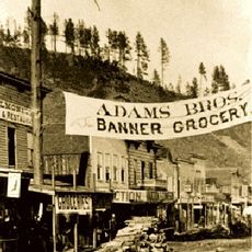
Geographic center of the United States, Geographic measurement point near Belle Fourche, South Dakota, US.
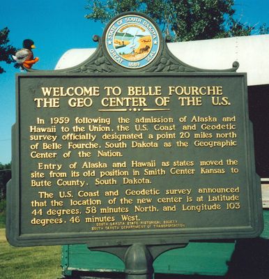
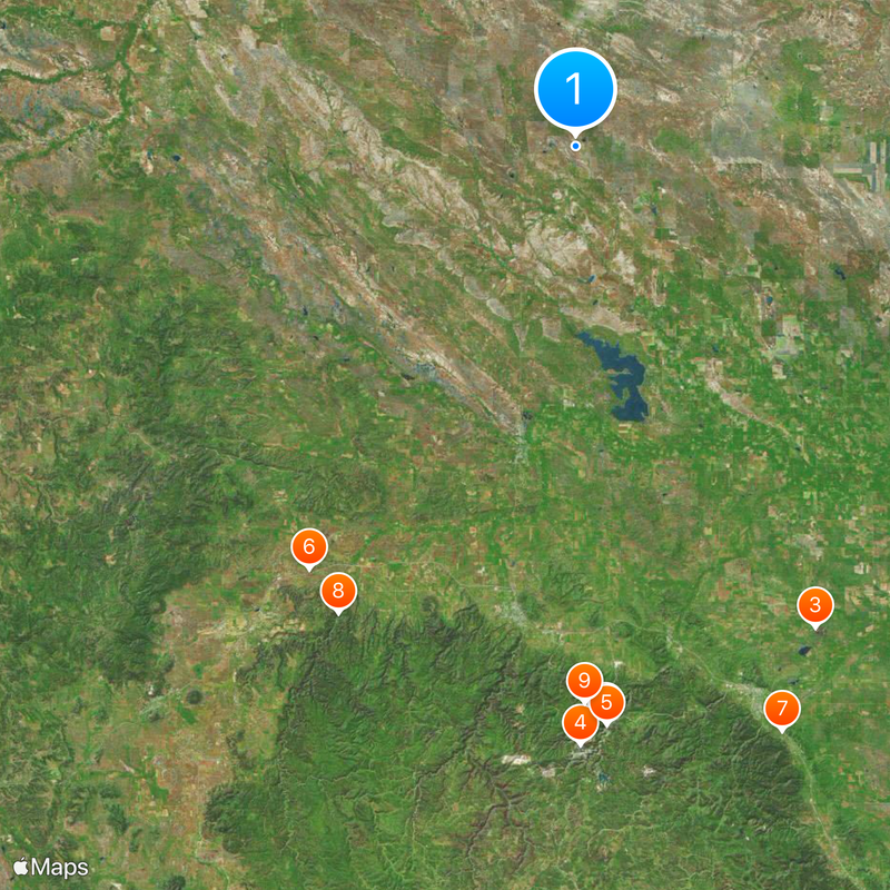
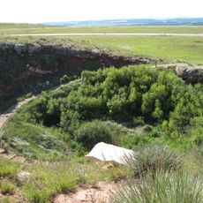
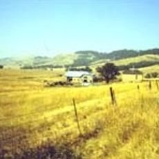
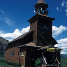
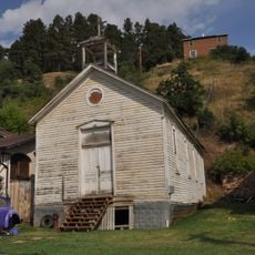
The geographic center of the United States occupies a pasture north of Belle Fourche in South Dakota, where a buried concrete monument marks the calculated coordinates. A commemorative site with a flag and survey marker stands in Belle Fourche city park, about 20 miles south of the computed location.
The survey was conducted in 1959 after Alaska and Hawaii became states and the previous center near Lebanon, Kansas, no longer applied. The memorial marker in Belle Fourche park was created in the 1990s to make the new position accessible to visitors.
The location represents mathematical measurements of land distribution across all fifty states, including both continental territories and offshore regions.
The park sits right off the highway and can be reached without long walks, while the actual measurement point on private farmland remains visible only from a distance. Those visiting the region in summer should prepare for strong sun exposure on the open prairie landscape.
The original determination method used a cardboard cutout model of the United States balanced on a pin tip. This simple technique provided an initial reference before precise geodetic calculations refined the location.
The community of curious travelers
AroundUs brings together thousands of curated places, local tips, and hidden gems, enriched daily by 60,000 contributors worldwide.