Bon Homme County, Administrative county in South Dakota, United States
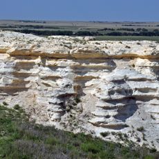
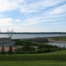
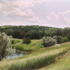
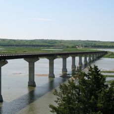
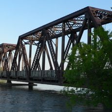
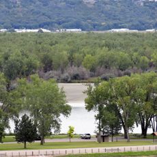
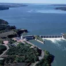
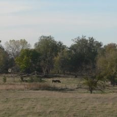
Bon Homme County is an administrative county in southern South Dakota, bordering the Missouri River on its western edge. The land is mostly farmland and grassland, with low rolling terrain that opens toward the river valley.
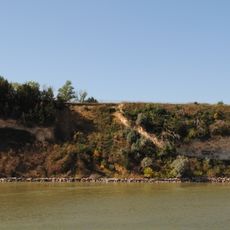
The county was established in 1862 and takes its name from Bon Homme Island, a river island that Lewis and Clark noted during their 1804 expedition. The French name translates roughly to "good man," though its exact origin remains debated.
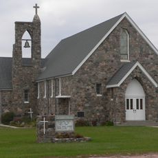
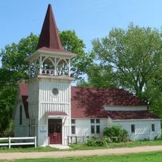
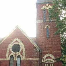
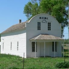
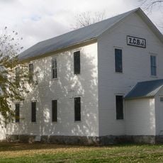
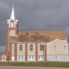
German, Czech, and Dutch speakers have called this area home for generations, and their cultural traditions remain woven into everyday life in the small towns here. Local communities still celebrate the customs and practices that their ancestors brought from Europe.
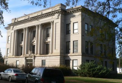
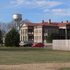
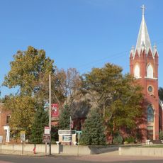
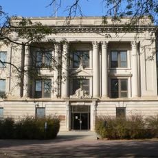
Tyndall is the county seat and the main hub for services in the area, making it a good starting point for any visit. Several state highways cross the county, linking its small towns and farmsteads without requiring much navigation.
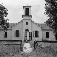
The first schoolhouse in Dakota Territory was built here in 1860, two years before the county was even officially formed. It opened with ten students and a single teacher named Emma Bradford.
The community of curious travelers
AroundUs brings together thousands of curated places, local tips, and hidden gems, enriched daily by 60,000 contributors worldwide.