Niobrara State Park, State park in Niobrara, Nebraska, US.
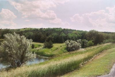
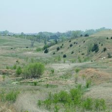
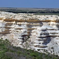
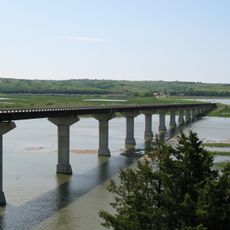
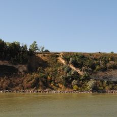
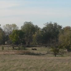
Niobrara State Park is a state park in northeastern Nebraska, located where the Niobrara River meets the Missouri River. The grounds cover wooded hills, open grasslands, and steep river bluffs that rise directly above the water.
The land around the river confluence was a crossing point and trading area for Native peoples long before European settlers arrived in the region. The park was established in the 1980s as a protected state area, and facilities were added gradually over the following years.
The meeting point of two rivers gives the park a natural focal point that visitors notice right away when they walk the bluff trails. People from nearby towns come here on weekends to picnic along the water and watch the river traffic below.
The park is open year-round, though trail conditions vary a lot by season and some paths become slippery after rain or snow. Sturdy footwear is a good idea, especially on the bluff trails where the ground can be uneven.
The Niobrara River just above the park is officially designated as a Wild and Scenic River, one of a small number of rivers in the US to hold that federal status. Many visitors arrive by canoe after paddling a stretch of the river, ending their trip at the park itself.
The community of curious travelers
AroundUs brings together thousands of curated places, local tips, and hidden gems, enriched daily by 60,000 contributors worldwide.