Calumet Bluff, Cliffside overlook in Cedar County, Nebraska, United States.
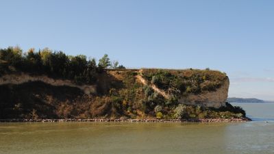
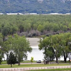
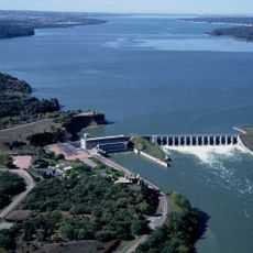
Calumet Bluff is a limestone cliff formation rising roughly 180 feet (55 meters) above Lewis and Clark Lake and the Missouri River. The rock face displays distinct layers of yellowish-red and brown clay that reveal the geological history of the region.
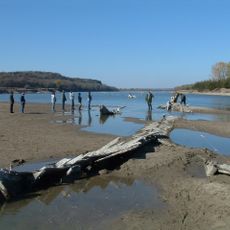
Members of the Lewis and Clark expedition camped below this cliff from August 28 to September 1, 1804, marking an important moment in their journey westward. During their stay, they held their first official council with Sioux tribes in this location.
The name Calumet refers to a Golden Eagle in Native American traditions, contrary to previous interpretations linking it to ceremonial peace pipes.
A trail roughly 1.5 kilometers long leads to several observation points where you can view the cliff and river from different angles. The site is managed by the U.S. Army Corps of Engineers and offers accessible routes for visitors of varying abilities.
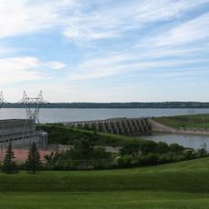
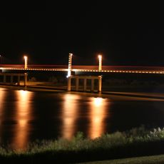
The cliff serves as the southern support structure for Gavins Point Dam, creating a striking integration of natural geology with hydroelectric engineering. This fusion of natural landscape and human infrastructure makes the site geologically and technically distinctive.
The community of curious travelers
AroundUs brings together thousands of curated places, local tips, and hidden gems, enriched daily by 60,000 contributors worldwide.