Enable Location

We need your location to show you interesting places around you

Discover nearby places

Find interesting locations and hidden gems around you

Precise directions

Get accurate directions and distances to places

Your location is never shared with other users. It's only used when you tap the location button.

Harding County

Log in to your account

Start exploring — it's free

Trusted by 62,845 travelers worldwide

Continue with Google
Continue with Apple
or

We will send you a code to connect

By continuing, you accept our Terms and Conditions and our Privacy Policy

Check your inbox

We've sent a pincode in your inbox. Please enter the code below.

Harding County, Administrative county in northwestern South Dakota, United States.

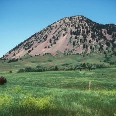
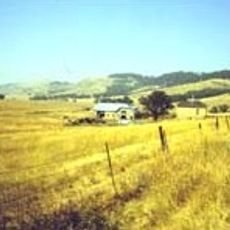
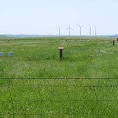
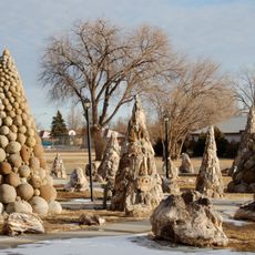
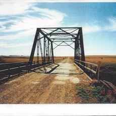
Harding County spreads across rolling terrain and grasslands in the northwestern part of the state. The landscape is dominated by expansive prairie and open ranching lands that characterize the entire region.

The territory underwent multiple reorganizations before establishing its current boundaries in 1909, when it was named after a prominent political figure. This reshaping reflected broader settlement patterns across the northern Great Plains during that era.

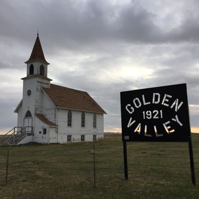
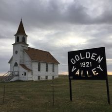
The residents here maintain strong connections to Scandinavian traditions that shape everyday life and local celebrations in the community. These heritage roots remain visible in how people gather and mark special occasions.

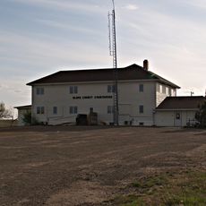
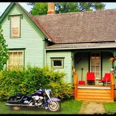
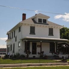
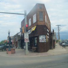
Buffalo serves as the administrative hub and is the main starting point for exploring the area. The region is quite remote, so visitors should prepare for longer driving times between main points of interest.

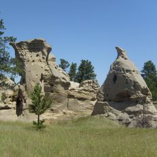
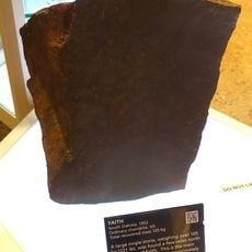
The Hell Creek Formation here contains fossil remains from prehistoric times that reveal how ancient life looked millions of years ago. These geological layers make the area particularly attractive for paleontologists studying the northern Great Plains.

The community of curious travelers

AroundUs brings together thousands of curated places, local tips, and hidden gems, enriched daily by 60,000 contributors worldwide.

Start exploring
Location
Inception
1909
Capital city
Buffalo
Shares border with
Bowman County, Adams County, Perkins County, Butte County, Carter County, Fallon County
GPS coordinates
45.59000,-103.50000
Latest update
December 7, 2025 20:47
Around this place
Geographic center of the United States
United States of America

Geographic center of the United States

72.5 km
Bear Butte
United States of America

Bear Butte

124.2 km
Spearfish Canyon
United States of America

Spearfish Canyon

126.9 km
Enchanted Highway
United States of America

Enchanted Highway

118.6 km
Medicine Rocks State Park
United States of America

Medicine Rocks State Park

90.7 km
Frawley Ranch
United States of America

Frawley Ranch

125.2 km
D.C. Booth Historic National Fish Hatchery
United States of America

D.C. Booth Historic National Fish Hatchery

126.6 km
Fort Dilts
United States of America

Fort Dilts

79.6 km
Lemmon Petrified Park
United States of America

Lemmon Petrified Park

111.7 km
Carter County Museum
United States of America

Carter County Museum

87.9 km
Mystic Theatre
United States of America

Mystic Theatre

85.1 km
Golden Valley Norwegian Lutheran Church
United States of America

Golden Valley Norwegian Lutheran Church

54.4 km
Cedar Creek Bridge
United States of America

Cedar Creek Bridge

111.3 km
Episcopal Church of All Angels
United States of America

Episcopal Church of All Angels

125.3 km
Original Slope County Courthouse
United States of America

Original Slope County Courthouse

100.2 km
DXN Bridge
United States of America

DXN Bridge

103.1 km
Adams County Courthouse
United States of America

Adams County Courthouse

81.3 km
First Congregational United Church of Christ
United States of America

First Congregational United Church of Christ

106.3 km
Peace Valley Evangelical Church and Cemetery
United States of America

Peace Valley Evangelical Church and Cemetery

48.7 km
James A. Corbin House
United States of America

James A. Corbin House

126 km
Faith
United States of America

Faith

114.2 km
Webb S. Knight House
United States of America

Webb S. Knight House

125.8 km
Thomas Haskins Gay House
United States of America

Thomas Haskins Gay House

106 km
Belle Fourche Commercial Historic District
United States of America

Belle Fourche Commercial Historic District

105.9 km
Belle Fourche Band Shell
United States of America

Belle Fourche Band Shell

106.3 km
Arthur Hewes House
United States of America

Arthur Hewes House

125.7 km
Petrified Wood Park & Museum
United States of America

Petrified Wood Park & Museum

111.2 km
Three V Crossing
United States of America

Three V Crossing

110 km
Show the full map
Administrative divisions
« Harding County - Administrative county in northwestern South Dakota, United States » is provided by Around Us (aroundus.com). Images and texts are derived from Wikimedia project under a Creative Commons license. You are allowed to copy, distribute, and modify copies of this page, under the conditions set by the license, as long as this note is clearly visible.

Discover hidden gems everywhere you go!

From secret cafés to breathtaking viewpoints, skip the crowded tourist spots and find places that match your style. Our app makes it easy with voice search, smart filtering, route optimization, and insider tips from travelers worldwide. Download now for the complete mobile experience.

Around Us App Screenshot

A unique approach to discovering new places

Le Figaro

All the places worth exploring

France Info

A tailor-made excursion in just a few clicks

20 Minutes

Around Us
Travel Guide & Maps
Download

Send to your phone

QR Code
1

Open the camera app on your mobile.

2

Point at the QR code with your camera. A notification will appear.

3

Tap the notification to open the link.