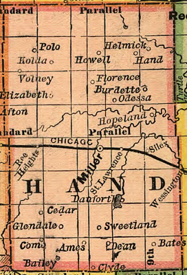
Hand County, County in South Dakota, United States
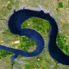
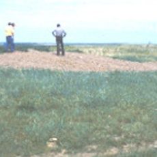
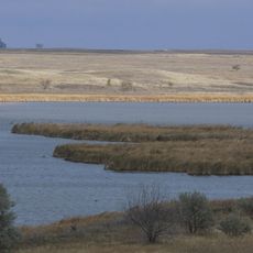
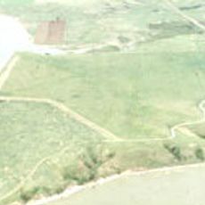
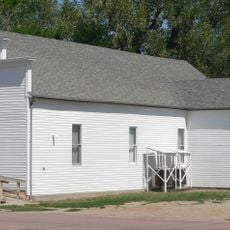
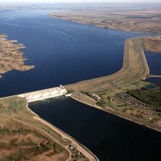
Hand County spans rolling terrain across South Dakota with ponds and lakes scattered throughout the Great Plains agricultural landscape. The land shows the characteristic features of the region with mixed prairie and farming areas.
The Dakota territorial government created Hand County in 1873 and named it after George A. Hand, the territorial secretary at that time. This establishment marked a key administrative step in organizing the region during settlement expansion.
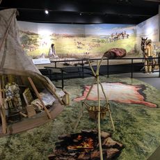
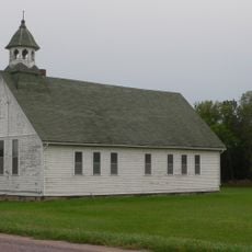
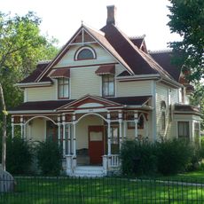
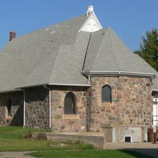
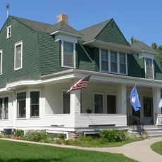
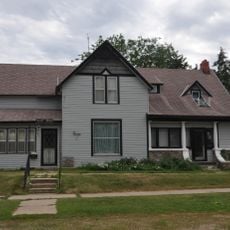
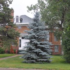
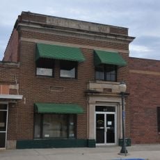
Communities across the county preserve German, Irish, and Norwegian heritage through local gatherings and celebrations that reflect settler backgrounds. Miller and other towns show these traditions through events and community life.
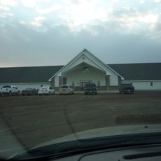
Several major routes connect the county with surrounding areas including U.S. Highway 14, U.S. Highway 212, and South Dakota state highways. These roads provide straightforward access through the region.
Multiple state game production areas including Collins, Dakota, and Lake Louise exist within the county, offering habitat for wildlife. These protected spaces are significant for nature observation across the sparsely populated landscape.
Location: South Dakota
Inception: 1873
Capital city: Miller
Elevation above the sea: 475 m
Shares border with: Faulk County, Spink County, Beadle County, Jerauld County, Buffalo County, Hyde County
Website: https://hand.sdcounties.org
GPS coordinates: 44.55000,-99.00000
Latest update: December 10, 2025 15:50
Big Bend
66.9 km
Fort Thompson Mounds
65.1 km
Akta Lakota Museum and Cultural Center
84.7 km
Huron Wetland Management District
49 km
Underwood United Methodist Church
77.8 km
Pyle House
66.2 km
Patten Consolidated School
75.7 km
Bethel Church
74.6 km
Chicago and North Western Roundhouse
66.3 km
Grace Episcopal Church
66 km
Jerauld County Courthouse
62.7 km
Hattie O. and Henry Drake Octagon House
65.1 km
Robert S. Vessey House
62.3 km
Methodist Episcopal Church of Wessington Springs
62.5 km
Spink County Courthouse
52.8 km
Redfield Carnegie Library
52.4 km
Frank and Clara Turner House
55.1 km
Sully County Courthouse
86.2 km
Wessington Springs Carnegie Library
62.5 km
Faulkton American Legion Hall
55.1 km
Gov. Frank M. Byrne House
54.7 km
L.E. Snyder House
86.1 km
Old Redfield City Hall
52.7 kmSouth Dakota Department of Transportation Bridge No. 03-327-230
81.4 kmMcMonies Barn
68.1 km
Crow Creek Site
68.7 km
Wessington Springs Opera House
62.5 km
Lake Sharpe
66.1 kmVisited this place? Tap the stars to rate it and share your experience / photos with the community! Try now! You can cancel it anytime.
Discover hidden gems everywhere you go!
From secret cafés to breathtaking viewpoints, skip the crowded tourist spots and find places that match your style. Our app makes it easy with voice search, smart filtering, route optimization, and insider tips from travelers worldwide. Download now for the complete mobile experience.
A unique approach to discovering new places❞
— Le Figaro
All the places worth exploring❞
— France Info
A tailor-made excursion in just a few clicks❞
— 20 Minutes