Enable Location

We need your location to show you interesting places around you

Discover nearby places

Find interesting locations and hidden gems around you

Precise directions

Get accurate directions and distances to places

Your location is never shared with other users. It's only used when you tap the location button.

Kingsbury County

Log in to your account

Start exploring — it's free

Trusted by 62,848 travelers worldwide

Continue with Google
Continue with Apple
or

We will send you a code to connect

By continuing, you accept our Terms and Conditions and our Privacy Policy

Check your inbox

We've sent a pincode in your inbox. Please enter the code below.

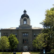
Kingsbury County, County in South Dakota, US

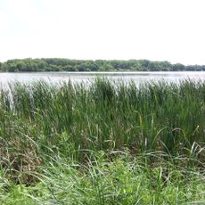
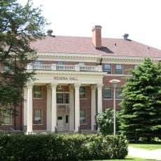
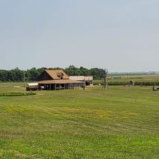
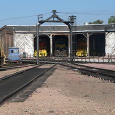
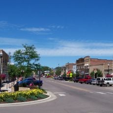
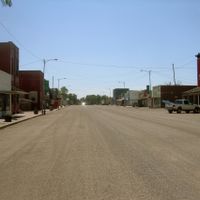
Kingsbury County is an administrative division featuring rolling hills and farmland with numerous lakes and ponds, particularly concentrated in central and eastern sections. Eight incorporated municipalities are distributed throughout the area and linked by highways.

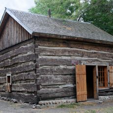
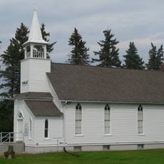
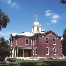
Established in 1873, the county was named after two brothers who held roles in territorial government during the settlement period. Early development focused on agricultural expansion.

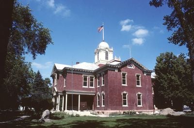
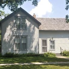
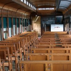
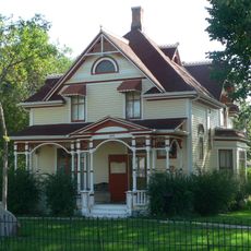
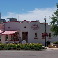
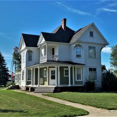
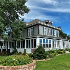
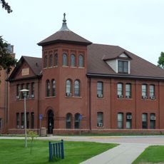
The county seat De Smet holds connections to author Laura Ingalls Wilder, who spent formative years living in this farming region. Visitors can explore locations tied to her life and writings.

The area is accessible via multiple main highways connecting its municipalities, making travel by car straightforward. The rolling terrain and road network allow easy exploration of different towns.

A detailed land map created in 1901 documented property ownership and the road network of the period, serving as a valuable historical record of how the county was organized. This document captures the landscape layout from over a century ago.

The community of curious travelers

AroundUs brings together thousands of curated places, local tips, and hidden gems, enriched daily by 60,000 contributors worldwide.

Start exploring
Location
Inception
1873
Capital city
De Smet
Shares border with
Hamlin County, Brookings County, Lake County, Miner County, Beadle County, Clark County, Sanborn County
GPS coordinates
44.37000,-97.49000
Latest update
December 10, 2025 16:04
Around this place
Coughlin Campanile
United States of America

Coughlin Campanile

56.2 km
Ingalls House
United States of America

Ingalls House

5.4 km
Oakwood Lakes State Park
United States of America

Oakwood Lakes State Park

41.4 km
Lake Herman State Park
United States of America

Lake Herman State Park

49.5 km
Chapel Emmanuel Railroad Car
United States of America

Chapel Emmanuel Railroad Car

48 km
Brookings County Courthouse
United States of America

Brookings County Courthouse

55.7 km
Wenona Hall and Wecota Hall
United States of America

Wenona Hall and Wecota Hall

56.1 km
Sterling Methodist Church
United States of America

Sterling Methodist Church

56.7 km
Pyle House
United States of America

Pyle House

57.2 km
Children's Museum of South Dakota
United States of America

Children's Museum of South Dakota

55.6 km
J. Whitney Goff Round Barn
United States of America

J. Whitney Goff Round Barn

47.5 km
Laura Ingalls Wilder Homestead
United States of America

Laura Ingalls Wilder Homestead

4.1 km
Bethel Church
United States of America

Bethel Church

50.2 km
Chicago and North Western Roundhouse
United States of America

Chicago and North Western Roundhouse

57 km
Nick's Hamburger Shop
United States of America

Nick's Hamburger Shop

55.4 km
Arlington Masonic Temple
United States of America

Arlington Masonic Temple

28.3 km
Hamlin County Courthouse
United States of America

Hamlin County Courthouse

39.2 km
Adam and Minnie Royhl House
United States of America

Adam and Minnie Royhl House

28.1 km
Thomas H. Ruth House
United States of America

Thomas H. Ruth House

5.1 km
Brookings Commercial Historic District
United States of America

Brookings Commercial Historic District

55.5 km
Kingsbury County Courthouse
United States of America

Kingsbury County Courthouse

4.7 km
United States of America

South Dakota Department of Transportation Bridge No. 03-327-230

44.5 km
United States of America

McMonies Barn

57 km
Horticulture Building
United States of America

Horticulture Building

56.4 km
South Dakota Art Museum
United States of America

South Dakota Art Museum

56.2 km
Coolidge Sylvan Theatre
United States of America

Coolidge Sylvan Theatre

56.3 km
Kingsbury County Country Club
United States of America

Kingsbury County Country Club

5.4 km
Brookings County Museum
United States of America

Brookings County Museum

45 km
Show the full map
Administrative divisions
« Kingsbury County - County in South Dakota, US » is provided by Around Us (aroundus.com). Images and texts are derived from Wikimedia project under a Creative Commons license. You are allowed to copy, distribute, and modify copies of this page, under the conditions set by the license, as long as this note is clearly visible.

Discover hidden gems everywhere you go!

From secret cafés to breathtaking viewpoints, skip the crowded tourist spots and find places that match your style. Our app makes it easy with voice search, smart filtering, route optimization, and insider tips from travelers worldwide. Download now for the complete mobile experience.

Around Us App Screenshot

A unique approach to discovering new places

Le Figaro

All the places worth exploring

France Info

A tailor-made excursion in just a few clicks

20 Minutes

Around Us
Travel Guide & Maps
Download

Send to your phone

QR Code
1

Open the camera app on your mobile.

2

Point at the QR code with your camera. A notification will appear.

3

Tap the notification to open the link.