Enable Location

We need your location to show you interesting places around you

Discover nearby places

Find interesting locations and hidden gems around you

Precise directions

Get accurate directions and distances to places

Your location is never shared with other users. It's only used when you tap the location button.

Stanley County

Log in to your account

Start exploring — it's free

Trusted by 62,844 travelers worldwide

Continue with Google
Continue with Apple
or

We will send you a code to connect

By continuing, you accept our Terms and Conditions and our Privacy Policy

Check your inbox

We've sent a pincode in your inbox. Please enter the code below.

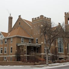
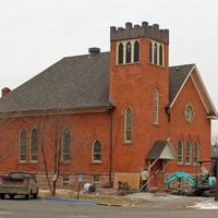
Stanley County, Administrative county in South Dakota, United States

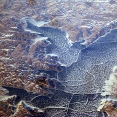
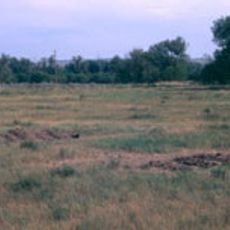
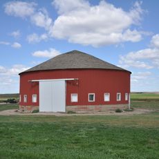
Stanley County is an administrative division in South Dakota characterized by rolling semi-arid hills traversed by several waterways that flow through agricultural and grassland areas. The landscape consists of open grasslands interspersed with farmland and natural water features.

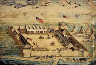
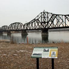
The county was established in 1873 and formally organized in 1890, named after Colonel David S. Stanley who commanded Fort Sully from 1866 to 1874. This naming reflected the military influence during the region's early development period.

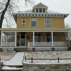
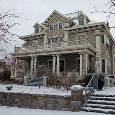
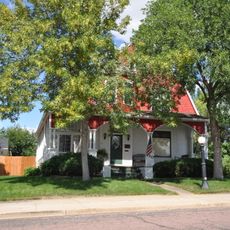
The county reflects both settler heritage and ongoing Native American presence, visible in local place names and how communities engage with the landscape. This cultural blend shapes daily life and local identity across the region.

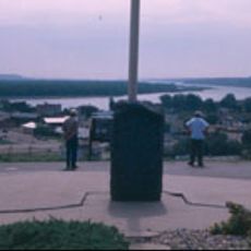
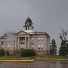
Fort Pierre serves as the county seat and operates on Mountain Time, though most residents use Central Time for practical reasons due to its location. Visitors should keep this time difference in mind when planning activities or coordinating with local services.

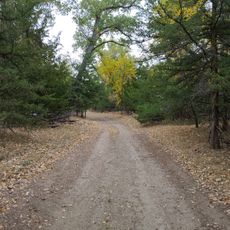
Fort Pierre National Grassland covers portions of the county and provides protected natural areas for wildlife and outdoor recreation that would otherwise be private land. This conservation area allows visitors to experience native prairie ecosystems that once dominated the region.

The community of curious travelers

AroundUs brings together thousands of curated places, local tips, and hidden gems, enriched daily by 60,000 contributors worldwide.

Start exploring
Location
Inception
1873
Capital city
Fort Pierre
Shares border with
Dewey County, Hughes County, Sully County, Lyman County, Jones County, Haakon County, Ziebach County
GPS coordinates
44.40000,-100.75000
Latest update
December 10, 2025 16:02
Around this place
Lake Oahe
United States of America

Lake Oahe

28.2 km
South Dakota Governor's Residence
United States of America

South Dakota Governor's Residence

32.8 km
South Dakota State Capitol
United States of America

South Dakota State Capitol

32.3 km
Pierre Shale
Canada

Pierre Shale

26.9 km
Fort Pierre Chouteau
United States of America

Fort Pierre Chouteau

28.6 km
Verendrye Site
United States of America

Verendrye Site

29.9 km
Chicago and North Western Railroad Bridge
United States of America

Chicago and North Western Railroad Bridge

30.4 km
Hughes County Courthouse
United States of America

Hughes County Courthouse

31.9 km
I. W. Goodner House
United States of America

I. W. Goodner House

31.9 km
Peter Hansen House
United States of America

Peter Hansen House

33.1 km
Farr House
United States of America

Farr House

32.1 km
Dr. William and Elizabeth Blackburn House
United States of America

Dr. William and Elizabeth Blackburn House

33.9 km
Pierre Masonic Lodge
United States of America

Pierre Masonic Lodge

41 km
Fort Pierre Congregational Church
United States of America

Fort Pierre Congregational Church

30.3 km
Freier Round Barn
United States of America

Freier Round Barn

54.3 km
Brink-Wegner House
United States of America

Brink-Wegner House

32 km
Sully County Courthouse
United States of America

Sully County Courthouse

64.1 km
Potter County Courthouse
United States of America

Potter County Courthouse

92.6 km
Karcher–Sahr House
United States of America

Karcher–Sahr House

32.3 km
L.E. Snyder House
United States of America

L.E. Snyder House

64.1 km
John E. and Ruth Hipple House
United States of America

John E. and Ruth Hipple House

32.2 km
Jefferson Davis Carr House
United States of America

Jefferson Davis Carr House

30.2 km
Murdo State Bank
United States of America

Murdo State Bank

57.1 km
Crawford–Pettyjohn House
United States of America

Crawford–Pettyjohn House

33.2 km
Horner–Hyde House
United States of America

Horner–Hyde House

31.9 km
Methodist Episcopal Church
United States of America

Methodist Episcopal Church

31.7 km
LaFramboise Island Nature Area
United States of America

LaFramboise Island Nature Area

33 km
Okobojo Point Recreation Area
United States of America

Okobojo Point Recreation Area

27.6 km
Show the full map
Administrative divisions
« Stanley County - Administrative county in South Dakota, United States » is provided by Around Us (aroundus.com). Images and texts are derived from Wikimedia project under a Creative Commons license. You are allowed to copy, distribute, and modify copies of this page, under the conditions set by the license, as long as this note is clearly visible.

Discover hidden gems everywhere you go!

From secret cafés to breathtaking viewpoints, skip the crowded tourist spots and find places that match your style. Our app makes it easy with voice search, smart filtering, route optimization, and insider tips from travelers worldwide. Download now for the complete mobile experience.

Around Us App Screenshot

A unique approach to discovering new places

Le Figaro

All the places worth exploring

France Info

A tailor-made excursion in just a few clicks

20 Minutes

Around Us
Travel Guide & Maps
Download

Send to your phone

QR Code
1

Open the camera app on your mobile.

2

Point at the QR code with your camera. A notification will appear.

3

Tap the notification to open the link.