LaFramboise Island Nature Area, Nature reserve in Pierre, United States.
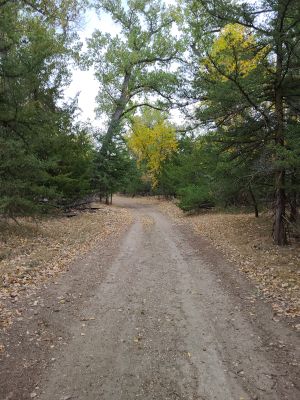
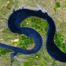
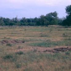
LaFramboise Island Nature Area is a protected reserve stretching along the Missouri River with mixed forests, grasslands, and multiple habitat types. The varied landscape supports numerous bird species and other wildlife year-round.
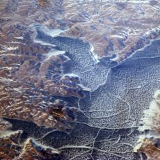
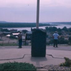
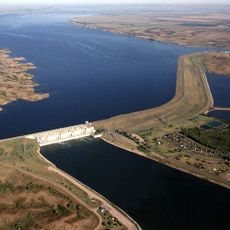
This location was recorded during the Lewis and Clark Expedition in 1804 when explorers called it Good Humored Island based on their favorable experiences there. Upstream dam construction in the mid-1900s later shifted water patterns and reshaped the natural landscape.
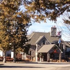
The name honors Joseph LaFramboise, a trader who left his mark on this stretch of the Missouri River region. Local heritage reflects the importance of early commerce and settlement in shaping the area.
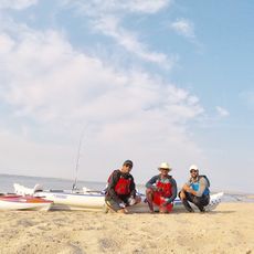
The area is open year-round and offers hiking trails, fishing access, and viewing areas for watching birds and wildlife. Wearing appropriate footwear and dressing for the season makes your visit more comfortable.
The landscape now features tree species like cedar, ash, and Russian olive that flourished after dam-related water changes. These newer plant communities create different wildlife habitats than what existed before the mid-1900s.
The community of curious travelers
AroundUs brings together thousands of curated places, local tips, and hidden gems, enriched daily by 60,000 contributors worldwide.