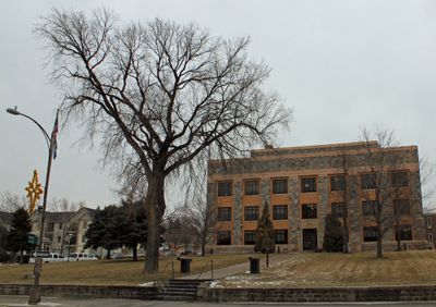
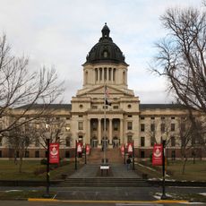
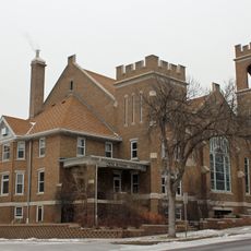
Hughes County, County in Pierre, South Dakota.
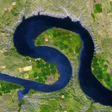
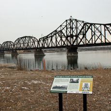
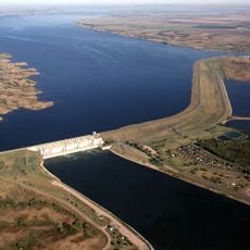
Hughes County is an administrative division in South Dakota covering approximately 800 square miles of gently rolling terrain. The Missouri River forms its southwestern boundary and shapes the character of the landscape.
The county was established in 1880 and named after Alexander Hughes, an early settler of the region. In 1891, its area was expanded through the addition of Farm Island.
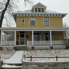
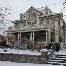
The area is shaped by several communities including German, Norwegian, Irish, and Native American groups who contribute to local life. This diversity appears in local celebrations, traditions, and how neighbors interact with one another.
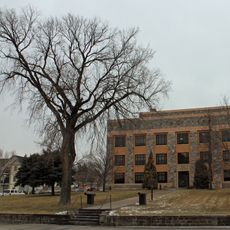
Visitors will find government offices open during standard business hours on weekdays. It is helpful to contact ahead to learn about specific services available and processing times for various procedures.
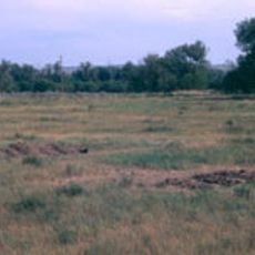
Pierre Regional Airport serves the area and connects it to other regions. The population spread throughout the county is relatively dispersed, which underscores its rural character.
Location: South Dakota
Inception: 1880
Capital city: Pierre
Shares border with: Sully County, Hyde County, Lyman County, Stanley County
Website: http://hughescounty.org
GPS coordinates: 44.39000,-99.99000
Latest update: December 10, 2025 15:56
Lake Oahe
33.5 km
South Dakota Governor's Residence
28.1 km
South Dakota State Capitol
28.4 km
Pierre Shale
33.6 km
Big Bend
43.8 km
Fort Pierre Chouteau
31.9 km
Verendrye Site
31.2 km
Chicago and North Western Railroad Bridge
30.3 km
Hughes County Courthouse
28.8 km
I. W. Goodner House
28.7 km
Peter Hansen House
27.6 km
Farr House
28.6 km
Dr. William and Elizabeth Blackburn House
27 km
Pierre Masonic Lodge
40.6 km
Fort Pierre Congregational Church
30.9 km
Freier Round Barn
62.6 km
Brink-Wegner House
28.6 km
Sully County Courthouse
35.7 km
Karcher–Sahr House
28.4 km
L.E. Snyder House
35.6 km
John E. and Ruth Hipple House
28.6 km
Jefferson Davis Carr House
31 km
Crawford–Pettyjohn House
27.7 km
Horner–Hyde House
28.8 km
Methodist Episcopal Church
29 km
LaFramboise Island Nature Area
28.3 km
Lake Sharpe
57.1 km
Okobojo Point Recreation Area
45.6 kmVisited this place? Tap the stars to rate it and share your experience / photos with the community! Try now! You can cancel it anytime.
Discover hidden gems everywhere you go!
From secret cafés to breathtaking viewpoints, skip the crowded tourist spots and find places that match your style. Our app makes it easy with voice search, smart filtering, route optimization, and insider tips from travelers worldwide. Download now for the complete mobile experience.
A unique approach to discovering new places❞
— Le Figaro
All the places worth exploring❞
— France Info
A tailor-made excursion in just a few clicks❞
— 20 Minutes