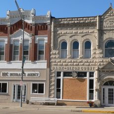
Union County, County in southeastern South Dakota, United States.
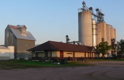
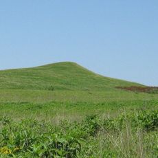
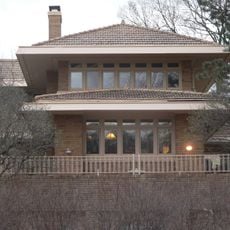
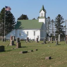
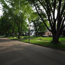
Union County sits at the southeastern corner of South Dakota, where the Big Sioux River forms its eastern border and the Missouri River runs along its southwestern edge. The land rolls gently across hills covered with farmland, making agriculture the backbone of everyday life here.
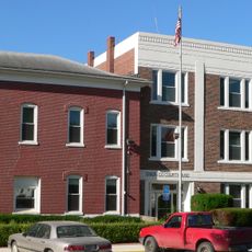
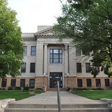
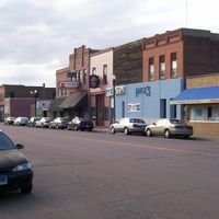
The county was created in 1862 under the name Cole County and renamed Union County in 1864 as a show of support for the Union side during the Civil War. The following year, the county seat shifted from Richland to Elk Point, where it has remained ever since.
Farming families work the land across generations, growing grain and raising livestock that shape daily life and the landscape. The pace here follows the seasons and the needs of the fields that dominate the horizon.
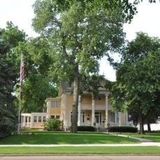
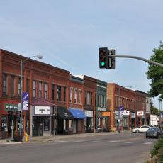
Interstate 29 runs north to south through the county, making it easy to move between communities and reach the wider region. Elk Point, the county seat, is a convenient base for anyone looking to explore the area.
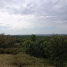
Union County sits at a spot where three states meet: South Dakota, Nebraska, and Iowa, making its southwestern corner a geographic landmark in the region. The confluence of the Big Sioux and Missouri rivers nearby was a key reference point for early settlers moving through the area.
The community of curious travelers
AroundUs brings together thousands of curated places, local tips, and hidden gems, enriched daily by 60,000 contributors worldwide.