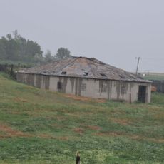
Thunder Butte, Mountain formation in Ziebach County, South Dakota, United States
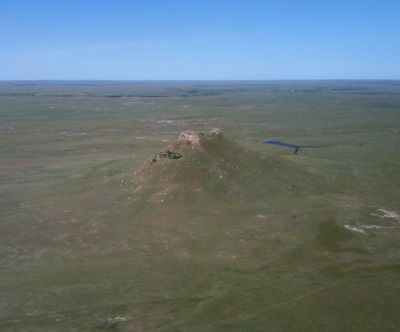
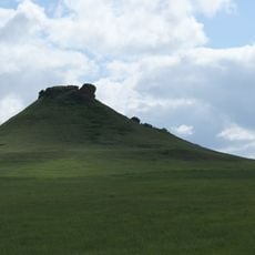
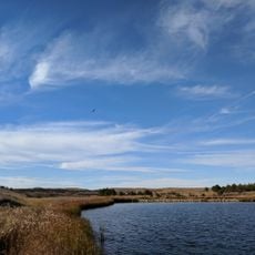
Thunder Butte is a butte in Ziebach County that rises about 833 meters above sea level, with steep cliffs overlooking the wide grasslands of the Great Plains. This isolated formation stands out sharply against the flat landscape and is visible from many directions.
During the 1800s, this formation served as an important landmark for travelers crossing the plains during the American frontier era. The distinctive shape helped pioneers and wagon trains navigate across the similar-looking landscape.
The Lakota people called this formation Wakinyan Paha, viewing it as the source of thunder in their traditional stories and beliefs. The place held spiritual meaning as a landmark where the land and sky seemed to meet in a special way.
The site can be reached via access roads in Ziebach County, with the best viewing conditions in clear weather and during morning hours. Visitors should prepare for open, windy conditions typical of the plains and bring weather protection.
The formation sits on a drainage divide between the Grand River and Moreau River, both flowing eastward toward the Missouri River. This geographical position made it a natural reference point for understanding the landscape and its water systems.
The community of curious travelers
AroundUs brings together thousands of curated places, local tips, and hidden gems, enriched daily by 60,000 contributors worldwide.