Ziebach County, County in South Dakota, United States
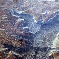
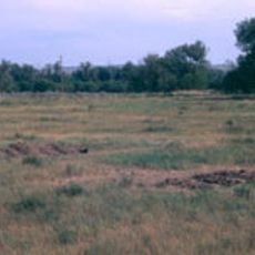
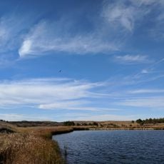
Ziebach County is a county in northwestern South Dakota with rolling grasslands and rocky buttes across its terrain. The Cheyenne River runs along its southern boundary, while the Moreau River flows through the upper section.
The county was officially established in 1911, bringing together sections from several earlier administrative divisions. This marked the final administrative reorganization in South Dakota.
The territory includes sections of the Cheyenne River Indian Reservation and Standing Rock Indian Reservation, where Native American communities continue their traditions and ways of life. This presence shapes the character of the region and is visible throughout its settlements and daily life.
County services are based at the administrative center in Dupree, which is accessible during weekday business hours. The landscape is best explored during warmer months when roads and trails are easier to navigate.
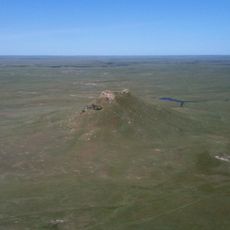
Thunder Butte stands as the highest point in the county, rising noticeably above the surrounding landscape. The area holds an unusual geographic distinction as the last county alphabetically among all U.S. counties.
The community of curious travelers
AroundUs brings together thousands of curated places, local tips, and hidden gems, enriched daily by 60,000 contributors worldwide.