Beadle County

Log in to your account

AroundUs is a community-driven map of interesting places, built by curious explorers like you. It grows with every review, story, and photo you share.
Connect to save your favorite spots, contribute locations, and create personalized routes.
Continue with Google
Continue with Apple
Continue with X
Continue with Facebook
Continue with email
By continuing, you accept our Terms and Conditions and our Privacy Policy
Create an account
Add to collection
Map
Suggest a change
Share

Beadle County, County in South Dakota, United States

Beadle County is a county in South Dakota that extends across rolling hills and valleys, with the James River flowing through the eastern central section. The landscape alternates between open farmland and streams that shape its terrain.

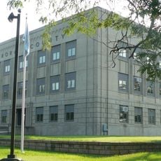
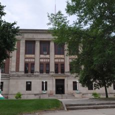
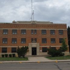
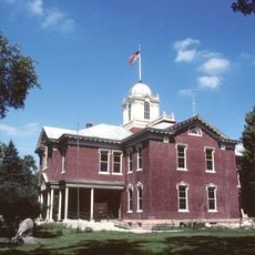
The area was established in 1879 and organized in 1880, named after Brigadier General William Henry Harrison Beadle. Huron became the county seat and developed as the administrative center.

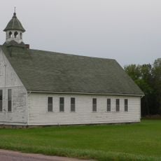
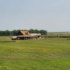
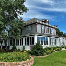
The county maintains a strong agricultural community where farming and ranching shape daily life and local identity. People here work closely with the land, giving the region its rural character and seasonal rhythms.

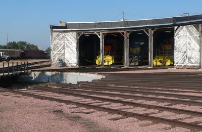
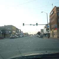
Major highways like U.S. Route 14 and U.S. Route 281 cross the county and connect different towns. Access to these roads makes it easy to explore the region by car.

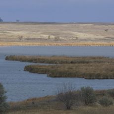
The area contains several wildlife management areas like Bob Roe Memorial and Brecken Slough that protect natural habitats for native animal species. These spaces offer visitors a chance to experience wild ecosystems in their natural form.

Location: South Dakota

Inception: 1879

Capital city: Huron

Shares border with: Spink County, Clark County, Kingsbury County, Sanborn County, Jerauld County, Hand County

Website: http://beadle.sdcounties.org

GPS coordinates: 44.41000,-98.28000

Latest update: December 10, 2025 15:56

Photos
Around this place
Corn Palace
United States of America

Corn Palace

80 km
Ingalls House
United States of America

Ingalls House

57.8 km
Huron Wetland Management District
United States of America

Huron Wetland Management District

10.9 km
Underwood United Methodist Church
United States of America

Underwood United Methodist Church

69.1 km
Pyle House
United States of America

Pyle House

7.8 km
Patten Consolidated School
United States of America

Patten Consolidated School

68.5 km
Aurora County Courthouse
United States of America

Aurora County Courthouse

78.8 km
Laura Ingalls Wilder Homestead
United States of America

Laura Ingalls Wilder Homestead

59 km
Bethel Church
United States of America

Bethel Church

24.7 km
Chicago and North Western Roundhouse
United States of America

Chicago and North Western Roundhouse

7.7 km
Whittier School
United States of America

Whittier School

80.1 km
Grace Episcopal Church
United States of America

Grace Episcopal Church

7.6 km
Jerauld County Courthouse
United States of America

Jerauld County Courthouse

43.6 km
Hattie O. and Henry Drake Octagon House
United States of America

Hattie O. and Henry Drake Octagon House

6.8 km
Robert S. Vessey House
United States of America

Robert S. Vessey House

43.6 km
Methodist Episcopal Church of Wessington Springs
United States of America

Methodist Episcopal Church of Wessington Springs

43.5 km
Spink County Courthouse
United States of America

Spink County Courthouse

55 km
Clark County Courthouse
United States of America

Clark County Courthouse

67.8 km
Redfield Carnegie Library
United States of America

Redfield Carnegie Library

55.3 km
Raesly House
United States of America

Raesly House

78.7 km
Thomas H. Ruth House
United States of America

Thomas H. Ruth House

58 km
Wessington Springs Carnegie Library
United States of America

Wessington Springs Carnegie Library

43.6 km
Kingsbury County Courthouse
United States of America

Kingsbury County Courthouse

58.5 km
Old Redfield City Hall
United States of America

Old Redfield City Hall

55.4 km
Mitchell Prehistoric Indian Village
United States of America

Mitchell Prehistoric Indian Village

76.9 km
United States of America

South Dakota Department of Transportation Bridge No. 03-327-230

22.9 km
United States of America

McMonies Barn

11.2 km
Mitchell Site
United States of America

Mitchell Site

77 km
Show the full map
Reviews

Visited this place? Tap the stars to rate it and share your experience / photos with the community! Try now! You can cancel it anytime.

Administrative divisions
« Beadle County - County in South Dakota, United States » is provided by Around Us (aroundus.com). Images and texts are derived from Wikimedia project under a Creative Commons license. You are allowed to copy, distribute, and modify copies of this page, under the conditions set by the license, as long as this note is clearly visible.

Discover hidden gems everywhere you go!

From secret cafés to breathtaking viewpoints, skip the crowded tourist spots and find places that match your style. Our app makes it easy with voice search, smart filtering, route optimization, and insider tips from travelers worldwide. Download now for the complete mobile experience.

Around Us App Screenshot

A unique approach to discovering new places

Le Figaro

All the places worth exploring

France Info

A tailor-made excursion in just a few clicks

20 Minutes