Chest opened
+${chestReward.xp} XP
Explorer
NOUVEAU ×${chestReward.collectible.quantity}
tapez pour fermer

See the monuments around you in AR Open chests in the app

Around Us is built for your phone — point your camera at the streets and discover the monuments and places around you in augmented reality. Around Us is built for your phone — chests unlock when you walk, explore and capture nearby places.

Enable Location

We need your location to show you interesting places around you

Discover nearby places

Find interesting locations and hidden gems around you

Precise directions

Get accurate directions and distances to places

Your location is never shared with other users. It's only used when you tap the location button.

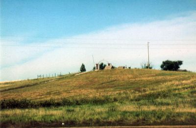
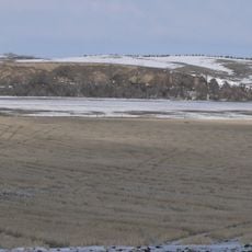
Wounded Knee National Historic Landmark

Log in to your account

Start exploring — it's free

Trusted by 85,531 travelers worldwide

Continue with Google
Continue with Apple
or

We will send you a code to connect

By continuing, you accept our Terms and Conditions and our Privacy Policy

Check your inbox

We've sent a pincode in your inbox. Please enter the code below.

Discussion Reviews 1 Photos
14.6k Popularity

Wounded Knee National Historic Landmark, Archaeological site in Pine Ridge Indian Reservation, US.

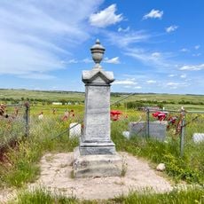
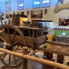
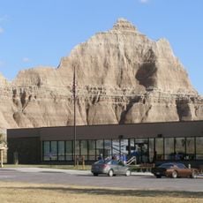
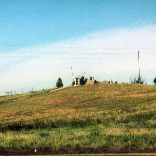
Wounded Knee is a memorial site on the Pine Ridge Indian Reservation featuring a mass burial ground and a monument built in 1903 to honor those lost. The landscape includes a museum with exhibits and artifacts that document what happened through physical objects and historical records.

The conflict occurred on December 29, 1890, when U.S. Army soldiers killed around 300 Lakota men, women, and children during a confrontation over weapons. This event marked one of the final major armed clashes between the federal government and the Lakota people.

The site holds deep meaning for Lakota families as a place of remembrance where people gather to honor those lost. Visitors notice how the landscape is treated with reverence, with the focus on reflection rather than spectacle.

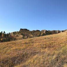
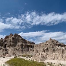
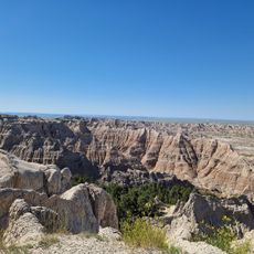
The museum features exhibits with artifacts and documents for visitors to explore at their own pace. The site sits on grassland with ravines and creek beds, so expect varied weather and uneven terrain when walking around.

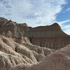
The landscape still shows physical traces of military positions and escape routes preserved within the ravines and creek beds. These features help visitors understand the spatial reality of what happened.

The community of curious travelers

AroundUs brings together thousands of curated places, local tips, and hidden gems, enriched daily by 60,000 contributors worldwide.
Start exploring
Inception
1890
GPS coordinates
43.14242,-102.36494
Latest update
August 29, 2026 21:27
Around this place
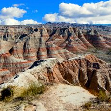
Badlands National Park
United States of America

Badlands National Park

38.5 mi
Nebraska National Forest
United States of America

Nebraska National Forest

38.6 mi
Chadron State Park
United States of America

Chadron State Park

44.6 mi
Bordeaux Trading Post
United States of America

Bordeaux Trading Post

35.9 mi
Camp Sheridan
United States of America

Camp Sheridan

27.8 mi
Lacreek National Wildlife Refuge
United States of America

Lacreek National Wildlife Refuge

39.4 mi
Mari Sandoz High Plains Heritage Center
United States of America

Mari Sandoz High Plains Heritage Center

39.2 mi
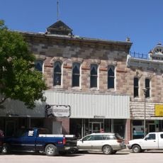
Chadron Commercial Historic District
United States of America

Chadron Commercial Historic District

38.7 mi
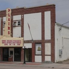
Plains Theatre
United States of America

Plains Theatre

29.7 mi
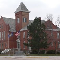
Sheridan County Courthouse
United States of America

Sheridan County Courthouse

29.8 mi
Chadron Public Library
United States of America

Chadron Public Library

38.8 mi
Lee and Gottliebe Fritz House
United States of America

Lee and Gottliebe Fritz House

24.8 mi
Wounded Knee cemetery
United States of America

Wounded Knee cemetery

230 ft
Museum of the Fur Trade
United States of America

Museum of the Fur Trade

36 mi
White River Visitor Center
United States of America

White River Visitor Center

26.4 mi
Fossil Exhibit Trail
United States of America

Fossil Exhibit Trail

47.2 mi
Ben Reifel Visitor Center
United States of America

Ben Reifel Visitor Center

47 mi
Saddle Pass Trailhead
United States of America

Saddle Pass Trailhead

46.9 mi
United States of America

AH-1 Cobra Helicopter

25.1 mi
United States of America

Red Cloud Heritage Center

12 mi
United States of America

Cowboy Artwork

44.1 mi
United States of America

C-Hill

39.4 mi
United States of America

Prairie Wind Overlook

47 mi
United States of America

Burns Basin Overlook

47.2 mi
United States of America

Prairie Wind Overlook

47 mi
United States of America

Scenic viewpoint

47.2 mi
United States of America

Scenic viewpoint

47.1 mi
United States of America

Red Shirt Table Overlook

38.6 mi
Show the full map
Reviews
Share your experience

No review yet

Discussions
Start a discussion...

No discussion yet

« Wounded Knee National Historic Landmark - Archaeological site in Pine Ridge Indian Reservation, US » is provided by Around Us (aroundus.com). Images and texts are derived from Wikimedia project under a Creative Commons license. You are allowed to copy, distribute, and modify copies of this page, under the conditions set by the license, as long as this note is clearly visible.

Discover hidden gems everywhere you go!

From secret cafés to breathtaking viewpoints, skip the crowded tourist spots and find places that match your style. Our app makes it easy with voice search, smart filtering, route optimization, and insider tips from travelers worldwide. Download now for the complete mobile experience.

Around Us App Screenshot

A unique approach to discovering new places

Le Figaro

All the places worth exploring

France Info

A tailor-made excursion in just a few clicks

20 Minutes

Around Us
Travel Guide & Maps
Download

Send to your phone

QR Code
1

Open the camera app on your mobile.

2

Point at the QR code with your camera. A notification will appear.

3

Tap the notification to open the link.