Charles Mix County

Log in to your account

AroundUs is a community-driven map of interesting places, built by curious explorers like you. It grows with every review, story, and photo you share.
Connect to save your favorite spots, contribute locations, and create personalized routes.
By continuing, you accept our Terms and Conditions and our Privacy Policy
Add to collection
Map
Suggest a change
Share

Charles Mix County, Administrative county in South Dakota, United States

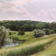
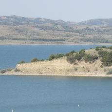
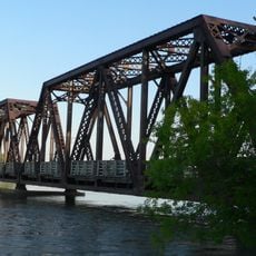
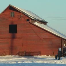
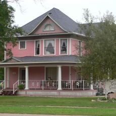
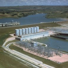
Charles Mix County is an administrative division in southeastern South Dakota that stretches along the Missouri River with rolling terrain and farming regions throughout. The landscape consists of gentle hills and crop fields that form the foundation of the area's economy and character.

This county was established in 1862 and named after Charles Eli Mix, a government official involved in treaty negotiations with Lakota tribes. The period following its creation saw settlement and agricultural development shape the region's growth and ties to the broader American frontier.

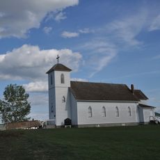
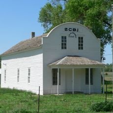
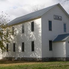
The Yankton Indian Reservation shapes daily life and community practices across much of the eastern section, with residents maintaining tribal traditions through local gatherings and crafts. Native American heritage is visible in place names, local events, and how communities gather in public spaces.

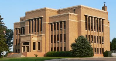
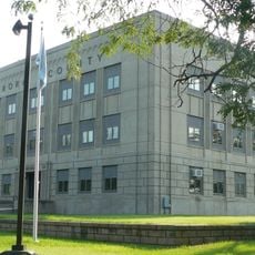
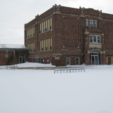
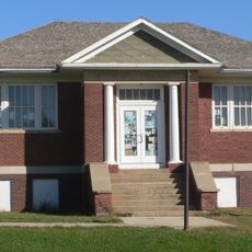
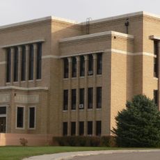
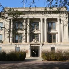
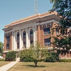
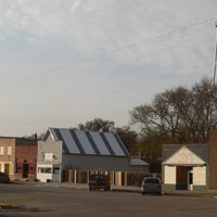
Lake Andes functions as the county seat and serves as the central hub for services and administrative facilities throughout the region. Spring through fall offers the best conditions for visiting, as outdoor activities and agricultural areas are most accessible during these seasons.

This county stretches nearly 100 miles from north to south, making it one of the longest counties in South Dakota in that direction. This unusual north-south extension creates distinct regional zones within the same administrative boundaries.

Location: South Dakota

Inception: 1862

Capital city: Lake Andes

Shares border with: Brule County, Aurora County, Douglas County, Hutchinson County, Bon Homme County, Knox County, Boyd County, Gregory County, Lyman County

Website: http://charlesmix.sdcounties.org

GPS coordinates: 43.21000,-98.59000

Latest update: December 10, 2025 15:57

Photos
Around this place
Niobrara State Park
United States of America

Niobrara State Park

68.1 km
United States of America

Lake Andes National Wildlife Refuge

12 km
Snake Creek Recreation Area
United States of America

Snake Creek Recreation Area

47.3 km
United States of America

White Horse Ranch

53.4 km
St. Augustine Church
United States of America

St. Augustine Church

75.2 km
Niobrara River Bridge
United States of America

Niobrara River Bridge

66.2 km
Holy Trinity Church
United States of America

Holy Trinity Church

65.9 km
Aurora County Courthouse
United States of America

Aurora County Courthouse

57.2 km
Herrick Elevator
United States of America

Herrick Elevator

49.1 km
Delmont Public School
United States of America

Delmont Public School

35.1 km
Rad Sladkovsky
United States of America

Rad Sladkovsky

62.1 km
Rouse Ranch
United States of America

Rouse Ranch

57.4 km
Church of Christ in LaRoche Township
United States of America

Church of Christ in LaRoche Township

48.3 km
ZCBJ Hall
United States of America

ZCBJ Hall

63.5 km
William P. Smith House
United States of America

William P. Smith House

44.4 km
Dallas Carnegie Library
United States of America

Dallas Carnegie Library

75.2 km
Armour Historic District
United States of America

Armour Historic District

22.9 km
Raesly House
United States of America

Raesly House

57.2 km
Hofmeister House
United States of America

Hofmeister House

58.5 km
Charles Mix County Courthouse
United States of America

Charles Mix County Courthouse

7.4 km
Hilton House
United States of America

Hilton House

58.6 km
Bon Homme County Courthouse
United States of America

Bon Homme County Courthouse

63.6 km
Ponca Tribal Self-Help Community Building Historic District
United States of America

Ponca Tribal Self-Help Community Building Historic District

68.8 km
Douglas County Courthouse
United States of America

Douglas County Courthouse

23.2 km
Delmont State Bank
United States of America

Delmont State Bank

35.3 km
Wagner House
United States of America

Wagner House

36.6 km
South Dakota Tractor Museum
United States of America

South Dakota Tractor Museum

65.8 km
Lake Francis Case
United States of America

Lake Francis Case

16.9 km
Show the full map
Reviews

Visited this place? Tap the stars to rate it and share your experience / photos with the community! Try now! You can cancel it anytime.

Administrative divisions
« Charles Mix County - Administrative county in South Dakota, United States » is provided by Around Us (aroundus.com). Images and texts are derived from Wikimedia project under a Creative Commons license. You are allowed to copy, distribute, and modify copies of this page, under the conditions set by the license, as long as this note is clearly visible.

Discover hidden gems everywhere you go!

From secret cafés to breathtaking viewpoints, skip the crowded tourist spots and find places that match your style. Our app makes it easy with voice search, smart filtering, route optimization, and insider tips from travelers worldwide. Download now for the complete mobile experience.

Around Us App Screenshot

A unique approach to discovering new places

Le Figaro

All the places worth exploring

France Info

A tailor-made excursion in just a few clicks

20 Minutes