Enable Location

We need your location to show you interesting places around you

Discover nearby places

Find interesting locations and hidden gems around you

Precise directions

Get accurate directions and distances to places

Your location is never shared with other users. It's only used when you tap the location button.

Brown County

Log in to your account

Start exploring — it's free

Trusted by 62,845 travelers worldwide

Continue with Google
Continue with Apple
or

We will send you a code to connect

By continuing, you accept our Terms and Conditions and our Privacy Policy

Check your inbox

We've sent a pincode in your inbox. Please enter the code below.

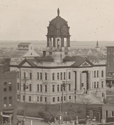
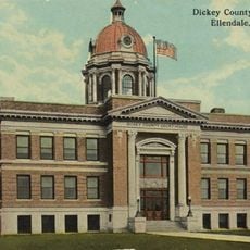
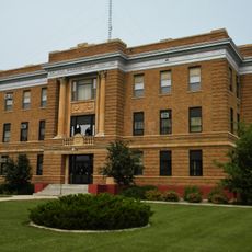
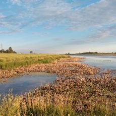
Brown County, County in northeastern South Dakota, US.

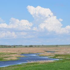
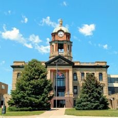
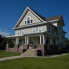
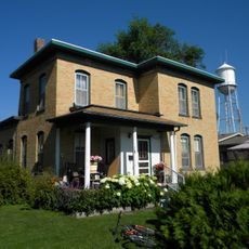
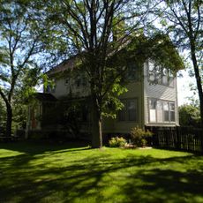
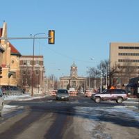
Brown County is a rural and urban area in northeastern South Dakota, with Aberdeen serving as its administrative center and main city. The region spans farmland and developed areas with government offices, parks, schools, and business districts that serve the local population.

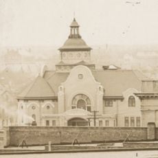
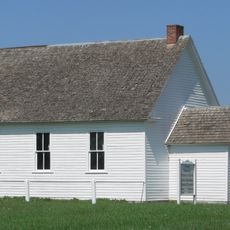
The county was established in 1881 during South Dakota's territorial period as settlers moved into the region. This formation marked the shift from scattered homesteads to an organized administrative system supporting growth.

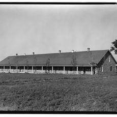
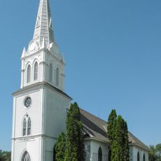
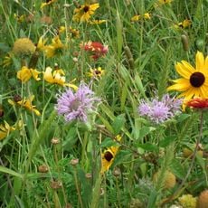
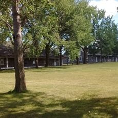
Agriculture shapes daily life here, with county fairs and livestock shows happening throughout the year in different towns. These gatherings bring communities together and remain central to how people connect and celebrate.

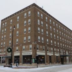
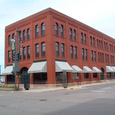
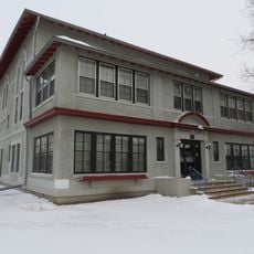
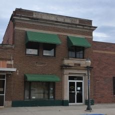
Aberdeen contains most services, shops, and public spaces where visitors can handle business and explore the area comfortably. Walking or driving through town gives you access to schools, parks, and offices without difficulty.

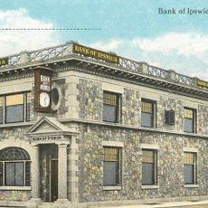
The area served as a trade crossroads attracting merchants and settlers who later chose to stay and build communities. This central location on early travel routes helped shape the region's early development and connections.

The community of curious travelers

AroundUs brings together thousands of curated places, local tips, and hidden gems, enriched daily by 60,000 contributors worldwide.

Start exploring
Location
Inception
1881
Capital city
Aberdeen
Shares border with
Dickey County, Sargent County, Marshall County, Day County, Spink County, Faulk County, Edmunds County, McPherson County
GPS coordinates
45.60000,-98.35000
Latest update
December 8, 2025 13:42
Around this place
International Vinegar Museum
United States of America

International Vinegar Museum

67.9 km
Fort Sisseton
United States of America

Fort Sisseton

64.1 km
Sand Lake National Wildlife Refuge
United States of America

Sand Lake National Wildlife Refuge

20.6 km
Alonzo Ward Hotel
United States of America

Alonzo Ward Hotel

18.6 km
Augustana Swedish Lutheran Church
United States of America

Augustana Swedish Lutheran Church

27.2 km
First United Methodist Church
United States of America

First United Methodist Church

18.9 km
Aurland United Norwegian Lutheran Church
United States of America

Aurland United Norwegian Lutheran Church

19.6 km
Brown County Courthouse
United States of America

Brown County Courthouse

18.5 km
Kuhnert Arboretum
United States of America

Kuhnert Arboretum

20.4 km
Western Union Building
United States of America

Western Union Building

18.5 km
Finnish Apostolic Lutheran Church
United States of America

Finnish Apostolic Lutheran Church

36.2 km
Ellendale Opera House
United States of America

Ellendale Opera House

46.8 km
Lars J. Fiksdal House
United States of America

Lars J. Fiksdal House

71.2 km
Sargent County Courthouse
United States of America

Sargent County Courthouse

79 km
Marshall County Courthouse
United States of America

Marshall County Courthouse

51.1 km
Dickey County Courthouse
United States of America

Dickey County Courthouse

47 km
McPherson County Courthouse
United States of America

McPherson County Courthouse

47.9 km
Waddel Mansion
United States of America

Waddel Mansion

71.9 km
First National Bank
United States of America

First National Bank

71.2 km
Ipswich State Bank
United States of America

Ipswich State Bank

55.7 km
John and Kittie Williams House
United States of America

John and Kittie Williams House

71 km
First Presbyterian Church of Langford
United States of America

First Presbyterian Church of Langford

40.3 km
Masonic Temple
United States of America

Masonic Temple

18.9 km
William Havens House
United States of America

William Havens House

71.7 km
Anton and Mary Agnes Karpen House
United States of America

Anton and Mary Agnes Karpen House

71.1 km
Old Redfield City Hall
United States of America

Old Redfield City Hall

81.5 km
Fort Sisseton Historic State Park
United States of America

Fort Sisseton Historic State Park

63.7 km
Sand Lake National Wildlife Refuge
United States of America

Sand Lake National Wildlife Refuge

21.6 km
Show the full map
Administrative divisions
« Brown County - County in northeastern South Dakota, US » is provided by Around Us (aroundus.com). Images and texts are derived from Wikimedia project under a Creative Commons license. You are allowed to copy, distribute, and modify copies of this page, under the conditions set by the license, as long as this note is clearly visible.

Discover hidden gems everywhere you go!

From secret cafés to breathtaking viewpoints, skip the crowded tourist spots and find places that match your style. Our app makes it easy with voice search, smart filtering, route optimization, and insider tips from travelers worldwide. Download now for the complete mobile experience.

Around Us App Screenshot

A unique approach to discovering new places

Le Figaro

All the places worth exploring

France Info

A tailor-made excursion in just a few clicks

20 Minutes

Around Us
Travel Guide & Maps
Download

Send to your phone

QR Code
1

Open the camera app on your mobile.

2

Point at the QR code with your camera. A notification will appear.

3

Tap the notification to open the link.