Enable Location

We need your location to show you interesting places around you

Discover nearby places

Find interesting locations and hidden gems around you

Precise directions

Get accurate directions and distances to places

Your location is never shared with other users. It's only used when you tap the location button.

Davison County

Log in to your account

Start exploring — it's free

Trusted by 62,844 travelers worldwide

Continue with Google
Continue with Apple
or

We will send you a code to connect

By continuing, you accept our Terms and Conditions and our Privacy Policy

Check your inbox

We've sent a pincode in your inbox. Please enter the code below.

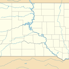
Davison County, County in eastern South Dakota, United States

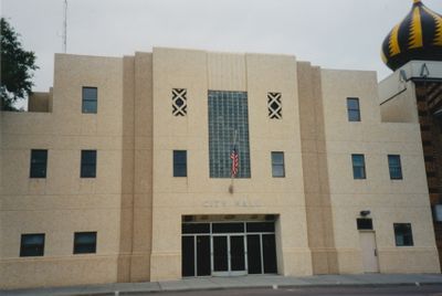
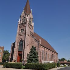
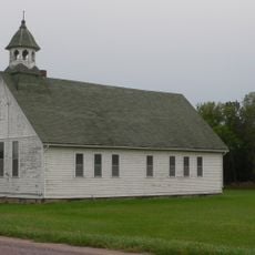
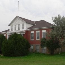
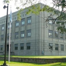
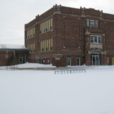
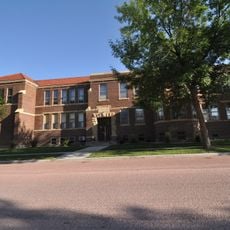
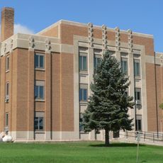
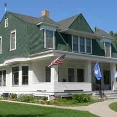
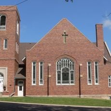
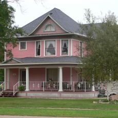
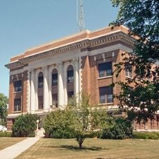
Davison County is an administrative division in eastern South Dakota with agricultural land, pastures, and rolling terrain crossed by the James River. The area includes several communities, with Mitchell serving as the county seat.

The county was established in 1874 and named after Henry C. Davison, one of the region's early settlers. This connection to pioneer settlement shaped how the area developed during the frontier period.

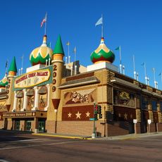
The Corn Palace in Mitchell, the county seat, showcases decorations made from corn and grain that reflect how residents connect their identity to farming. Visitors can see how the community celebrates its agricultural roots through local craftsmanship and design.

Interstate 90 and major state highways link the main communities, making travel between Mitchell and other towns straightforward. Spring through fall offers the best time to explore, when the farmland is active and the landscape is most engaging.

The James River flowing through the county's northeastern section created fertile soil that became the foundation for agriculture in this area. This geographical feature explains why farming developed as the region's primary economic activity.

The community of curious travelers

AroundUs brings together thousands of curated places, local tips, and hidden gems, enriched daily by 60,000 contributors worldwide.

Start exploring
Location
Inception
1874
Capital city
Mitchell
Shares border with
Sanborn County, Hanson County, Hutchinson County, Douglas County, Aurora County
GPS coordinates
43.68000,-98.16000
Latest update
December 10, 2025 15:46
Around this place
Corn Palace
United States of America

Corn Palace

11.5 km
United States of America

Lake Andes National Wildlife Refuge

60 km
St. Mary's Catholic Church
United States of America

St. Mary's Catholic Church

62.2 km
Holy Family Church, School, and Rectory
United States of America

Holy Family Church, School, and Rectory

11.7 km
Underwood United Methodist Church
United States of America

Underwood United Methodist Church

50.8 km
Patten Consolidated School
United States of America

Patten Consolidated School

53 km
Aurora County Courthouse
United States of America

Aurora County Courthouse

26.5 km
Delmont Public School
United States of America

Delmont Public School

46.2 km
Whittier School
United States of America

Whittier School

11.1 km
Jerauld County Courthouse
United States of America

Jerauld County Courthouse

55.2 km
Robert S. Vessey House
United States of America

Robert S. Vessey House

55.6 km
Methodist Episcopal Church of Wessington Springs
United States of America

Methodist Episcopal Church of Wessington Springs

55.4 km
William P. Smith House
United States of America

William P. Smith House

24.4 km
Saint Peter's Grotto
United States of America

Saint Peter's Grotto

38.4 km
Mitchell West Central Residential Historic District
United States of America

Mitchell West Central Residential Historic District

11.3 km
Armour Historic District
United States of America

Armour Historic District

42.9 km
Raesly House
United States of America

Raesly House

25.5 km
Hofmeister House
United States of America

Hofmeister House

44.7 km
Hilton House
United States of America

Hilton House

44.9 km
Wessington Springs Carnegie Library
United States of America

Wessington Springs Carnegie Library

55.4 km
Douglas County Courthouse
United States of America

Douglas County Courthouse

43.4 km
Delmont State Bank
United States of America

Delmont State Bank

45.7 km
Koch Apartments
United States of America

Koch Apartments

11.2 km
Mitchell Prehistoric Indian Village
United States of America

Mitchell Prehistoric Indian Village

12.3 km
Hitchcock Park
United States of America

Hitchcock Park

12.5 km
Dimock (Dakota do Sul)
United States of America

Dimock (Dakota do Sul)

20.7 km
Mitchell Site
United States of America

Mitchell Site

12.2 km
Wessington Springs Opera House
United States of America

Wessington Springs Opera House

55.4 km
Show the full map
Administrative divisions
« Davison County - County in eastern South Dakota, United States » is provided by Around Us (aroundus.com). Images and texts are derived from Wikimedia project under a Creative Commons license. You are allowed to copy, distribute, and modify copies of this page, under the conditions set by the license, as long as this note is clearly visible.

Discover hidden gems everywhere you go!

From secret cafés to breathtaking viewpoints, skip the crowded tourist spots and find places that match your style. Our app makes it easy with voice search, smart filtering, route optimization, and insider tips from travelers worldwide. Download now for the complete mobile experience.

Around Us App Screenshot

A unique approach to discovering new places

Le Figaro

All the places worth exploring

France Info

A tailor-made excursion in just a few clicks

20 Minutes

Around Us
Travel Guide & Maps
Download

Send to your phone

QR Code
1

Open the camera app on your mobile.

2

Point at the QR code with your camera. A notification will appear.

3

Tap the notification to open the link.