Meade County, County in South Dakota, United States
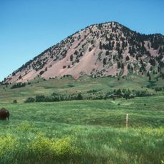
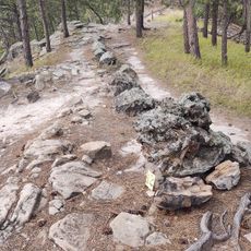
Meade County spreads across open grasslands and rolling hills in South Dakota with scattered towns and natural landscapes. The terrain transitions from plains in the east to the Black Hills in the west, creating varied geography throughout the region.
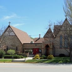
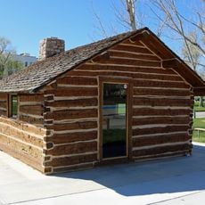
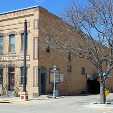
A military outpost established in the mid-1800s led to the county's formation in 1889. This early military presence shaped how settlements developed and grew throughout the region.
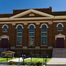
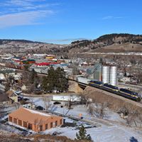
The annual motorcycle gathering in Sturgis brings riders from around the world and transforms the county seat each summer. This event has become central to how many people know and experience the region.
Sturgis serves as the main hub and is easily reached from surrounding areas. The best time to visit is outside the motorcycle event in August, when the town is quieter and services are more accessible.
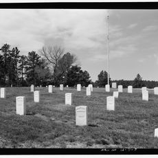
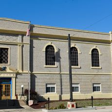
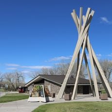
A military cemetery in Sturgis holds graves spanning over a hundred years of American conflicts. The burial ground reflects the military history tied to the region's earliest settlement days.
The community of curious travelers
AroundUs brings together thousands of curated places, local tips, and hidden gems, enriched daily by 60,000 contributors worldwide.