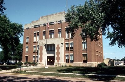
Haakon County, County in South Dakota, US
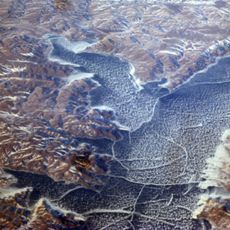
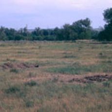
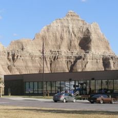
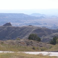
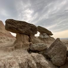
Haakon County is a large administrative area in central South Dakota with gently rolling hills and dry grasslands. The territory spreads between two rivers and is shaped primarily by ranching operations.
The county was established in 1914 and named after Norwegian King Haakon VII, who took the throne in 1905. This makes it South Dakota's only county named after a foreign person.
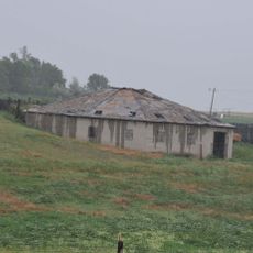
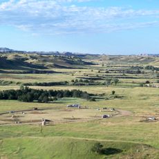
The region is shaped by strong ranching traditions that define daily life and the landscape. Visitors can observe the many cattle herds and the rural practices connected to them that give the area its character.
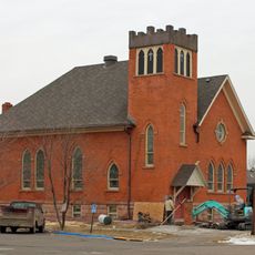
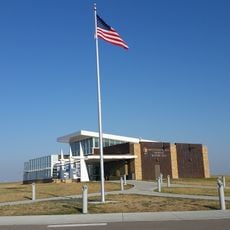
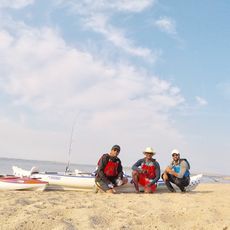
Visitors should prepare for large distances between towns and limited services since the population is spread thinly across the territory. The small town of Philip offers basic supplies and serves as a good base for exploring the surrounding area.
The area sits at the easternmost edge of the Mountain Time Zone in South Dakota and experiences dramatic temperature swings from freezing winters to hot summers. These extreme climate conditions have long shaped how residents live and work throughout the year.
Location: South Dakota
Inception: 1914
Capital city: Philip
Shares border with: Ziebach County, Stanley County, Jones County, Jackson County, Pennington County, Meade County, Dewey County
GPS coordinates: 44.30000,-101.53000
Latest update: December 10, 2025 16:04
Wall Drug
66.3 km
Lake Oahe
91.3 km
Minuteman Missile National Historic Site
65 km
Pierre Shale
89.6 km
Badlands Observatory
59.1 km
Fort Pierre Chouteau
91.2 km
Prairie Homestead
63.2 km
Verendrye Site
91.9 km
Chicago and North Western Railroad Bridge
92.7 km
Wasta Rest Stop Tipis
77.3 km
Dakota Club Library
81.2 km
Ziebach County Courthouse
83.3 km
Mt. Moriah Masonic Lodge No. 155
51.6 km
Quinn Methodist Church
59 km
Fort Pierre Congregational Church
92.2 km
Laurens Polygonal Hog House
86.4 km
Jefferson Davis Carr House
92.1 km
Murdo State Bank
79.8 km
Ben Reifel Visitor Center
69.6 km
Wasta Rest Stop Tip–Eastbound
77.3 km
Sage Creek Campground
83.9 km
Cedar Pass Campground
70.5 km
Minuteman Missile National Historic Site Visitor Center
58.8 km
Wasta Rest Stop Tipi–Westbound
76.8 km
Ancient Hunters Overlook
73.8 km
Yellow Mounds Overlook
73.5 km
Saddle Pass Trailhead
70 km
Okobojo Point Recreation Area
87.2 kmVisited this place? Tap the stars to rate it and share your experience / photos with the community! Try now! You can cancel it anytime.
Discover hidden gems everywhere you go!
From secret cafés to breathtaking viewpoints, skip the crowded tourist spots and find places that match your style. Our app makes it easy with voice search, smart filtering, route optimization, and insider tips from travelers worldwide. Download now for the complete mobile experience.
A unique approach to discovering new places❞
— Le Figaro
All the places worth exploring❞
— France Info
A tailor-made excursion in just a few clicks❞
— 20 Minutes