Day County, County in northeastern South Dakota, US
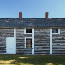
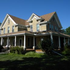
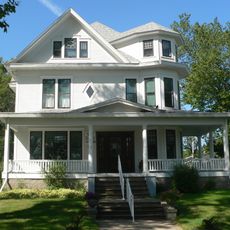
Day County is a county in northeastern South Dakota with rolling terrain, numerous lakes and wetlands dotting the agricultural landscape. Eight municipalities, including Webster, Bristol, and Waubay, are linked by highways and form a network of rural service centers.
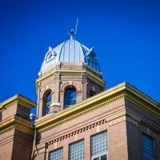
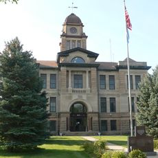
The Dakota Territorial Legislature created this county in 1880 and named it after Merritt H. Day, a territorial legislator of that era. This establishment reflected the formal administrative organization of the northeastern region during early territorial settlement.
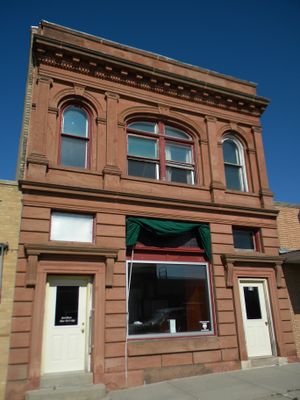
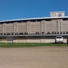
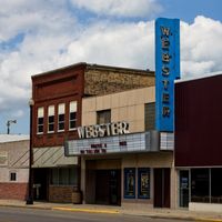
Webster, the county's trading hub, serves as a gathering place where local farmers and craftspeople regularly present their goods and connect with neighbors. This tradition of community commerce shapes the rhythm of small-town life throughout the region.
The county is easily accessible via U.S. Highway 12 and South Dakota Highways 25 and 27, which connect all major towns and settlements. Webster functions as the natural hub for visitors seeking information and basic services.
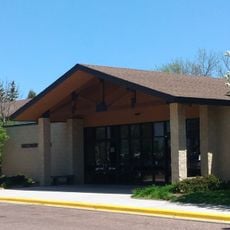
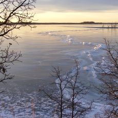
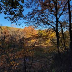
The Waubay National Wildlife Refuge provides a critical stopover point for migratory birds and habitat for native wildlife, offering visitors chances to observe species during migration periods. This protected area positions the county along an important route in the continent's bird migration pathway.
The community of curious travelers
AroundUs brings together thousands of curated places, local tips, and hidden gems, enriched daily by 60,000 contributors worldwide.