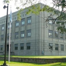
Sanborn County, County administration in Woonsocket, South Dakota, United States.
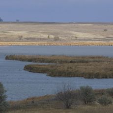
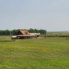
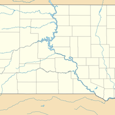
Sanborn County is an administrative division in east-central South Dakota spanning roughly 570 square miles of rolling terrain and farmland. The James River winds through the area, connecting several small towns including Woonsocket, Artesian, and Letcher.
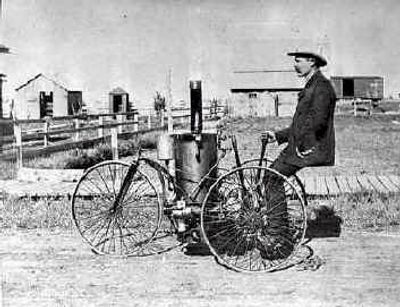
The Dakota Territorial legislature established the county in 1883, naming it after George W. Sanborn, a Milwaukee Railroad superintendent. This occurred during a period of rapid settlement driven by railroad expansion across the region.
The community maintains rural traditions visible in daily work patterns and local gatherings centered on agricultural seasons. Farming remains central to how people organize their lives and celebrate together.
Main routes South Dakota Highways 34, 37, and 224 connect the towns and allow easy movement through the county. These roads provide clear orientation when exploring different communities and rural areas.
Population here peaked at about 4,600 residents in 1890 during the early settlement phase following railroad development. Since then numbers have declined significantly, reflecting broader economic shifts in rural agricultural regions.
Location: South Dakota
Inception: 1883
Capital city: Woonsocket
Shares border with: Miner County, Davison County, Hanson County, Aurora County, Jerauld County, Beadle County, Kingsbury County
GPS coordinates: 44.03000,-98.09000
Latest update: December 10, 2025 16:22
Corn Palace
35.5 km
Ingalls House
58.2 km
Huron Wetland Management District
49.3 km
Holy Family Church, School, and Rectory
35.9 km
Underwood United Methodist Church
53.9 km
Pyle House
38.2 km
Patten Consolidated School
54.9 km
Aurora County Courthouse
47 km
Laura Ingalls Wilder Homestead
57.8 km
Chicago and North Western Roundhouse
38.5 km
Whittier School
35.6 km
Grace Episcopal Church
38.2 km
Jerauld County Courthouse
38.8 km
Hattie O. and Henry Drake Octagon House
38.6 km
Robert S. Vessey House
39.1 km
Methodist Episcopal Church of Wessington Springs
38.9 km
William P. Smith House
56.1 km
Mitchell West Central Residential Historic District
35.7 km
Saint Peter's Grotto
46.8 km
Raesly House
46.5 km
Wessington Springs Carnegie Library
39 km
Koch Apartments
35.9 km
Mitchell Prehistoric Indian Village
32.4 km
Hitchcock Park
36.5 km
South Dakota Department of Transportation Bridge No. 03-327-230
30 km
McMonies Barn
34.1 km
Dimock (Dakota do Sul)
54.6 km
Mitchell Site
32.4 kmVisited this place? Tap the stars to rate it and share your experience / photos with the community! Try now! You can cancel it anytime.
Discover hidden gems everywhere you go!
From secret cafés to breathtaking viewpoints, skip the crowded tourist spots and find places that match your style. Our app makes it easy with voice search, smart filtering, route optimization, and insider tips from travelers worldwide. Download now for the complete mobile experience.
A unique approach to discovering new places❞
— Le Figaro
All the places worth exploring❞
— France Info
A tailor-made excursion in just a few clicks❞
— 20 Minutes