Lincoln County

Log in to your account

AroundUs is a community-driven map of interesting places, built by curious explorers like you. It grows with every review, story, and photo you share.
Connect to save your favorite spots, contribute locations, and create personalized routes.
Continue with Google
Continue with Apple
Continue with X
Continue with Facebook
Continue with email
By continuing, you accept our Terms and Conditions and our Privacy Policy
Create an account
Add to collection
Map
Suggest a change
Share

Lincoln County, Administrative county in South Dakota, United States.

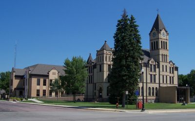
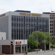
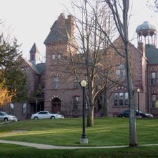
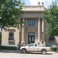
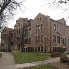
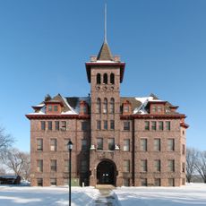
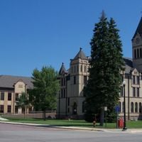
Lincoln County is an administrative division in southeastern South Dakota with an area of approximately 1,500 square kilometers (580 square miles). Canton serves as the county seat where government offices and the courthouse are located.

The county was established in 1862 during the period of western expansion and named in honor of President Abraham Lincoln. Its development was closely tied to settlement by farming families and the agricultural opening of the region.

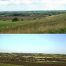
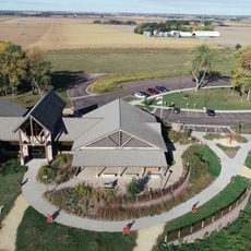
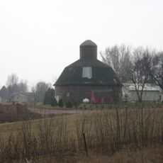
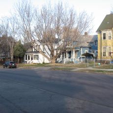
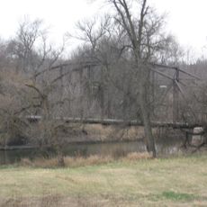
Agriculture shapes how people live and work across the land, with farming families maintaining deep connections to their properties. The landscape reflects this way of life through scattered homesteads and grain storage facilities that define the rural character.

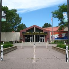
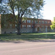
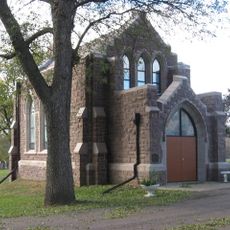
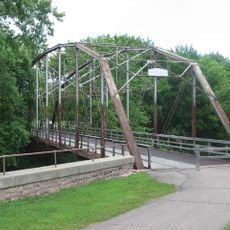
The county can be explored from several small towns, with Canton offering the main services and administrative offices. Roads connect the various communities, making it easy to drive between different areas and see the rural landscape.

The population grew from roughly 7,000 people in the 1870s to more than 65,000 by 2020, reflecting strong growth. This expansion demonstrates how agricultural opportunity and migration shaped the region's development.

Location: South Dakota

Inception: 1862

Capital city: Canton

Shares border with: Minnehaha County, Lyon County, Sioux County, Union County, Clay County, Turner County

Website: http://lincolncountysd.org

GPS coordinates: 43.28000,-96.72000

Latest update: December 7, 2025 20:20

Photos
Around this place
KDLT tower
United States of America

KDLT tower

28.3 km
Blood Run Site
United States of America

Blood Run Site

23.6 km
CenturyLink Tower
United States of America

CenturyLink Tower

29.7 km
Great Plains Zoo
United States of America

Great Plains Zoo

28.9 km
Washington Pavilion of Arts and Science
United States of America

Washington Pavilion of Arts and Science

29.4 km
Good Earth State Park
United States of America

Good Earth State Park

24 km
South Dakota School for the Deaf
United States of America

South Dakota School for the Deaf

29.8 km
Kirkeby–Over Stadium
United States of America

Kirkeby–Over Stadium

26.7 km
Federal Building and United States Courthouse
United States of America

Federal Building and United States Courthouse

29.3 km
Calvary Cathedral
United States of America

Calvary Cathedral

29.2 km
Security Bank Building
United States of America

Security Bank Building

29.8 km
U.S. Bank Building
United States of America

U.S. Bank Building

29.8 km
All Saints School Main Building
United States of America

All Saints School Main Building

28.6 km
Shafer Round Barn
United States of America

Shafer Round Barn

29.7 km
Presentation Children's Home
United States of America

Presentation Children's Home

29 km
Grand Lodge and Library of the Ancient Free and Accepted Masons
United States of America

Grand Lodge and Library of the Ancient Free and Accepted Masons

29.3 km
Carpenter Building
United States of America

Carpenter Building

29.5 km
Canton Lutheran Church
United States of America

Canton Lutheran Church

10.7 km
Governor William J. Bulow House
United States of America

Governor William J. Bulow House

22.6 km
Sioux Falls National Bank Building
United States of America

Sioux Falls National Bank Building

29.8 km
Jorden Hall
United States of America

Jorden Hall

28.1 km
All Saints Historic District
United States of America

All Saints Historic District

28.5 km
Gitchie Manitou State Preserve
United States of America

Gitchie Manitou State Preserve

26.1 km
Josephine Martin Glidden Memorial Chapel
United States of America

Josephine Martin Glidden Memorial Chapel

29.4 km
Old Main
United States of America

Old Main

11.8 km
Bridge at Iverson Crossing
United States of America

Bridge at Iverson Crossing

29.4 km
Cherry Rock Park Bridge
United States of America

Cherry Rock Park Bridge

28.7 km
Railroad bridge over Sioux River
United States of America

Railroad bridge over Sioux River

29.4 km
Show the full map
Reviews

Visited this place? Tap the stars to rate it and share your experience / photos with the community! Try now! You can cancel it anytime.

Administrative divisions
« Lincoln County - Administrative county in South Dakota, United States » is provided by Around Us (aroundus.com). Images and texts are derived from Wikimedia project under a Creative Commons license. You are allowed to copy, distribute, and modify copies of this page, under the conditions set by the license, as long as this note is clearly visible.

Discover hidden gems everywhere you go!

From secret cafés to breathtaking viewpoints, skip the crowded tourist spots and find places that match your style. Our app makes it easy with voice search, smart filtering, route optimization, and insider tips from travelers worldwide. Download now for the complete mobile experience.

Around Us App Screenshot

A unique approach to discovering new places

Le Figaro

All the places worth exploring

France Info

A tailor-made excursion in just a few clicks

20 Minutes