Enable Location

We need your location to show you interesting places around you

Discover nearby places

Find interesting locations and hidden gems around you

Precise directions

Get accurate directions and distances to places

Your location is never shared with other users. It's only used when you tap the location button.

Hutchinson County

Log in to your account

Start exploring — it's free

Trusted by 62,844 travelers worldwide

Continue with Google
Continue with Apple
or

We will send you a code to connect

By continuing, you accept our Terms and Conditions and our Privacy Policy

Check your inbox

We've sent a pincode in your inbox. Please enter the code below.

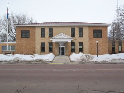
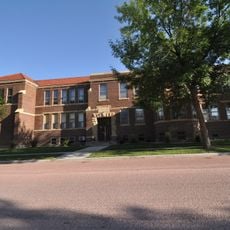
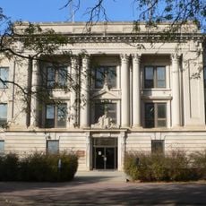
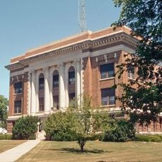
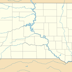
Hutchinson County, County in South Dakota, United States

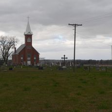
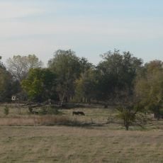
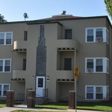
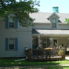
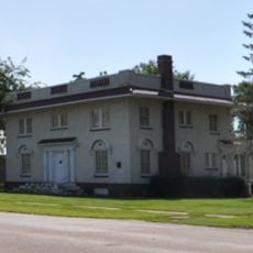
Hutchinson County is an administrative division in South Dakota featuring rolling hills and farmland crossed by the James River. The area encompasses several communities with Olivet serving as the county seat.

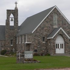
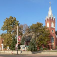
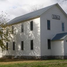
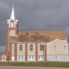
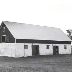
The territorial legislature established this county in 1871 and named it after John Hutchinson, the first territorial secretary. The arrival of German-speaking Mennonites in the 1870s brought a new wave of settlement to the region.

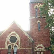
Mennonite communities have shaped life here for over 140 years and continue their farming traditions today. Visitors can observe how these roots remain visible in the local way of life and values.

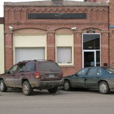
The county is easy to navigate by car with well-maintained roads connecting its communities and small towns. Visitors should note that services in smaller towns are limited and planning ahead is advisable.

A portion of the region known as Armstrong County was briefly independent before merging back in 1879. This forgotten administrative shift shaped the early development but rarely comes up in local conversations.

The community of curious travelers

AroundUs brings together thousands of curated places, local tips, and hidden gems, enriched daily by 60,000 contributors worldwide.

Start exploring
Location
Inception
1871
Capital city
Olivet
Shares border with
Hanson County, McCook County, Turner County, Yankton County, Bon Homme County, Charles Mix County, Douglas County, Davison County
GPS coordinates
43.34000,-97.75000
Latest update
December 10, 2025 16:03
Around this place
Corn Palace
United States of America

Corn Palace

47.3 km
Our Savior's Lutheran Church
United States of America

Our Savior's Lutheran Church

25.1 km
St. Wenceslaus Catholic Church and Parish House
United States of America

St. Wenceslaus Catholic Church and Parish House

44 km
Holy Family Church, School, and Rectory
United States of America

Holy Family Church, School, and Rectory

46.8 km
St. Agnes Church
United States of America

St. Agnes Church

42.8 km
St. Andrew's Episcopal Church
United States of America

St. Andrew's Episcopal Church

22.2 km
Old St. Wenceslaus Catholic Parish House
United States of America

Old St. Wenceslaus Catholic Parish House

44.2 km
Delmont Public School
United States of America

Delmont Public School

34.6 km
Whittier School
United States of America

Whittier School

47.3 km
ZCBJ Hall
United States of America

ZCBJ Hall

39.5 km
Mitchell West Central Residential Historic District
United States of America

Mitchell West Central Residential Historic District

47.2 km
Saint Peter's Grotto
United States of America

Saint Peter's Grotto

43.2 km
Martin's Evangelical Church
United States of America

Martin's Evangelical Church

42 km
Armour Historic District
United States of America

Armour Historic District

48.7 km
Methodist Episcopal Church
United States of America

Methodist Episcopal Church

21.8 km
Bon Homme County Courthouse
United States of America

Bon Homme County Courthouse

39.7 km
Douglas County Courthouse
United States of America

Douglas County Courthouse

48 km
John Frydrych Farmstead
United States of America

John Frydrych Farmstead

40.3 km
Delmont State Bank
United States of America

Delmont State Bank

34.3 km
Mathias Merkwan Rubblestone Barn
United States of America

Mathias Merkwan Rubblestone Barn

44.4 km
Koch Apartments
United States of America

Koch Apartments

47 km
DeJong House
United States of America

DeJong House

44.9 km
Parker Masonic Hall
United States of America

Parker Masonic Hall

50.3 km
Mitchell Prehistoric Indian Village
United States of America

Mitchell Prehistoric Indian Village

50.3 km
Hitchcock Park
United States of America

Hitchcock Park

45.9 km
Wagner House
United States of America

Wagner House

43.5 km
Dimock (Dakota do Sul)
United States of America

Dimock (Dakota do Sul)

29.7 km
Mitchell Site
United States of America

Mitchell Site

50.2 km
Show the full map
Administrative divisions
« Hutchinson County - County in South Dakota, United States » is provided by Around Us (aroundus.com). Images and texts are derived from Wikimedia project under a Creative Commons license. You are allowed to copy, distribute, and modify copies of this page, under the conditions set by the license, as long as this note is clearly visible.

Discover hidden gems everywhere you go!

From secret cafés to breathtaking viewpoints, skip the crowded tourist spots and find places that match your style. Our app makes it easy with voice search, smart filtering, route optimization, and insider tips from travelers worldwide. Download now for the complete mobile experience.

Around Us App Screenshot

A unique approach to discovering new places

Le Figaro

All the places worth exploring

France Info

A tailor-made excursion in just a few clicks

20 Minutes

Around Us
Travel Guide & Maps
Download

Send to your phone

QR Code
1

Open the camera app on your mobile.

2

Point at the QR code with your camera. A notification will appear.

3

Tap the notification to open the link.