Custer County

Log in to your account

AroundUs is a community-driven map of interesting places, built by curious explorers like you. It grows with every review, story, and photo you share.
Connect to save your favorite spots, contribute locations, and create personalized routes.
By continuing, you accept our Terms and Conditions and our Privacy Policy
Add to collection
Map
Suggest a change
Share

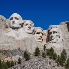
Custer County, Administrative county in Black Hills region, South Dakota, United States.

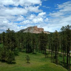
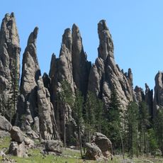
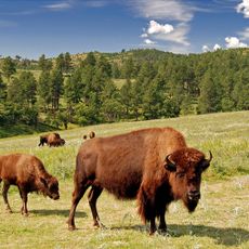
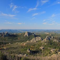
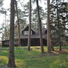
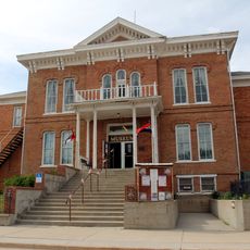
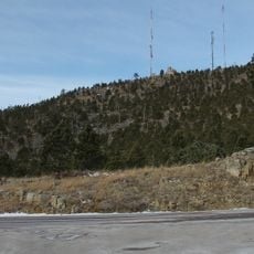
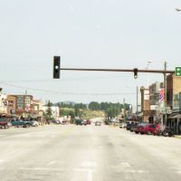
Custer County is an administrative division in the Black Hills region of western South Dakota characterized by pine forests, rolling grasslands, and exposed rock formations. The city of Custer serves as the county seat and main administrative center within this landscape.

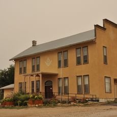
Gold discoveries in the 1870s drew prospectors and settlers to the area, leading to the county's official establishment in 1875. The region transformed from a chaotic mining zone into an organized administrative territory over subsequent decades.

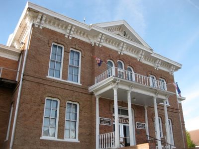
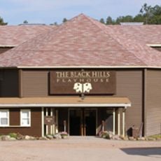
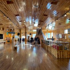
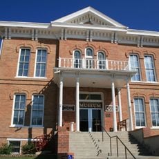
The county's name reflects its complex past tied to the Gold Rush era and settlement patterns of the 1800s. Local gatherings and exhibits tell stories about how mining shaped community life and continues to influence the region today.

U.S. Highways 16 and 385 provide main access routes through the county, connecting visitors to major destinations. The terrain varies between forested areas and open land, so plan travel accordingly depending on which section you intend to visit.

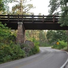
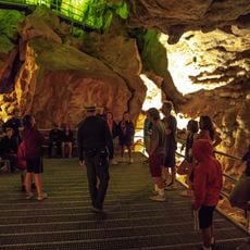
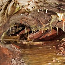
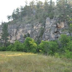
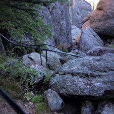
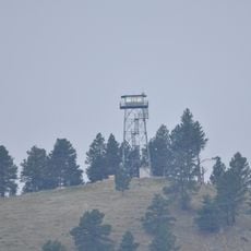
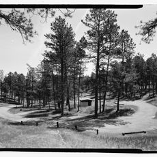
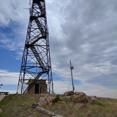
The county borders Black Hills National Forest, which contains hundreds of miles of hiking trails winding through dense woods and open ridges. This forest setting offers visitors a direct way to experience the landscape that shaped the region's early mining days.

Location: South Dakota

Inception: 1875

Capital city: Custer

Shares border with: Pennington County, Oglala Lakota County, Fall River County, Niobrara County, Weston County

Website: http://custercountysd.com

GPS coordinates: 43.68000,-103.46000

Latest update: December 7, 2025 20:42

Photos
Around this place
Mount Rushmore
United States of America

Mount Rushmore

22.1 km
Crazy Horse Memorial
United States of America

Crazy Horse Memorial

21.8 km
Needles
United States of America

Needles

18.9 km
Custer State Park
United States of America

Custer State Park

8.1 km
Black Elk Wilderness
United States of America

Black Elk Wilderness

19.8 km
Rushmore Cave
United States of America

Rushmore Cave

24 km
Black Hills Playhouse
United States of America

Black Hills Playhouse

14.3 km
Crazy Horse Memorial
United States of America

Crazy Horse Memorial

21.5 km
1881 Courthouse Museum
United States of America

1881 Courthouse Museum

14.9 km
Hermosa Masonic Lodge
United States of America

Hermosa Masonic Lodge

28.1 km
Pig Tail Bridge
United States of America

Pig Tail Bridge

9.2 km
Jewel Cave
United States of America

Jewel Cave

30.2 km
Wind Cave
United States of America

Wind Cave

13.7 km
Peter Norbeck Summer House
United States of America

Peter Norbeck Summer House

13.6 km
Wind Cave National Park Administrative and Utility Area Historic District
United States of America

Wind Cave National Park Administrative and Utility Area Historic District

13.8 km
Custer County Courthouse
United States of America

Custer County Courthouse

14.9 km
Beaver Creek Rockshelter
United States of America

Beaver Creek Rockshelter

11 km
Beaver Creek Bridge
United States of America

Beaver Creek Bridge

10.9 km
Jewel Cave Ranger Station
United States of America

Jewel Cave Ranger Station

31.3 km
Mount Coolidge Lookout Tower
United States of America

Mount Coolidge Lookout Tower

7.4 km
Sunday Gulch Trail
United States of America

Sunday Gulch Trail

20.8 km
Peter Norbeck Outdoor Education Center
United States of America

Peter Norbeck Outdoor Education Center

11.3 km
Rankin Ridge Lookout Tower
United States of America

Rankin Ridge Lookout Tower

6.3 km
Historic Trail and Cave Entrance
United States of America

Historic Trail and Cave Entrance

31.3 km
Wind Cave Visitor Center
United States of America

Wind Cave Visitor Center

13.8 km
Jewel Cave Visitor Center
United States of America

Jewel Cave Visitor Center

30.2 km
Elk Mountain Campground
United States of America

Elk Mountain Campground

12.9 km
Elk Mountain Lookout Tower
United States of America

Elk Mountain Lookout Tower

47 km
Show the full map
Reviews

Visited this place? Tap the stars to rate it and share your experience / photos with the community! Try now! You can cancel it anytime.

Administrative divisions
« Custer County - Administrative county in Black Hills region, South Dakota, United States » is provided by Around Us (aroundus.com). Images and texts are derived from Wikimedia project under a Creative Commons license. You are allowed to copy, distribute, and modify copies of this page, under the conditions set by the license, as long as this note is clearly visible.

Discover hidden gems everywhere you go!

From secret cafés to breathtaking viewpoints, skip the crowded tourist spots and find places that match your style. Our app makes it easy with voice search, smart filtering, route optimization, and insider tips from travelers worldwide. Download now for the complete mobile experience.

Around Us App Screenshot

A unique approach to discovering new places

Le Figaro

All the places worth exploring

France Info

A tailor-made excursion in just a few clicks

20 Minutes