Enable Location

We need your location to show you interesting places around you

Discover nearby places

Find interesting locations and hidden gems around you

Precise directions

Get accurate directions and distances to places

Your location is never shared with other users. It's only used when you tap the location button.

Buffalo County

Log in to your account

Start exploring — it's free

Trusted by 62,844 travelers worldwide

Continue with Google
Continue with Apple
or

We will send you a code to connect

By continuing, you accept our Terms and Conditions and our Privacy Policy

Check your inbox

We've sent a pincode in your inbox. Please enter the code below.

Buffalo County, Administrative county in central South Dakota, US.

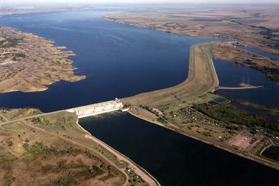
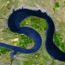
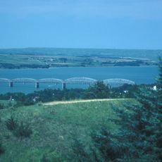
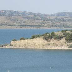
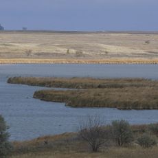
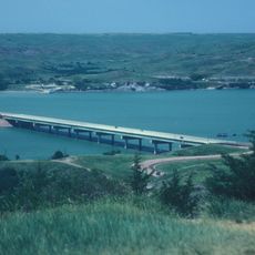
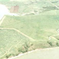
Buffalo County is an administrative county in central South Dakota that covers rolling hills and prairie grasslands along the Missouri River. The landscape consists of gentle terrain typical of the Great Plains region, with the Crow Creek Indian Reservation occupying the majority of the county's area.

Buffalo County was established in 1873 during South Dakota's territorial expansion period in the late 19th century. Its creation reflected the broader settlement patterns and administrative organization of the Great Plains region during westward expansion.

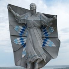
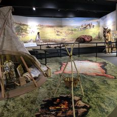
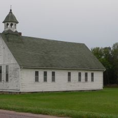
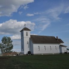
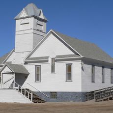
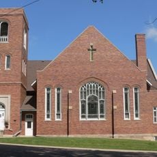
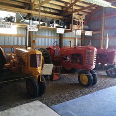
The Crow Creek Sioux Tribe forms the heart of this county, with their reservation encompassing most of the land and their cultural traditions shaping daily life here. Visitors notice the presence of tribal governance, local events, and community spaces that reflect Native American heritage and contemporary tribal life.

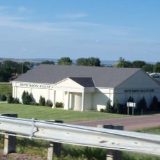
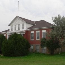
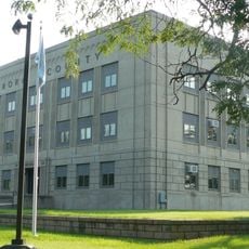
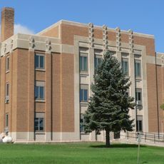
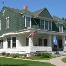
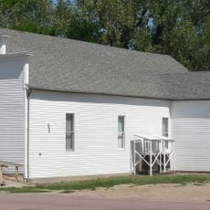
Gann Valley serves as the county seat and offers basic government and community services, with access to regional highways for travel. The open terrain and low population density mean that services are spread out, and visitors should plan accordingly for supplies and amenities.

Gann Valley functions as the county seat despite having only a few residents, making it one of the smallest administrative centers of its kind in the United States. This unusual setup reflects the sparse settlement patterns of the rural Great Plains.

The community of curious travelers

AroundUs brings together thousands of curated places, local tips, and hidden gems, enriched daily by 60,000 contributors worldwide.

Start exploring
Location
Inception
1873
Capital city
Gann Valley
Shares border with
Hand County, Jerauld County, Brule County, Lyman County, Hyde County
GPS coordinates
44.08000,-99.20000
Latest update
December 7, 2025 10:08
Around this place
Dignity
United States of America

Dignity

34.5 km
Big Bend
United States of America

Big Bend

31.4 km
Chamberlain Bridge
United States of America

Chamberlain Bridge

31.9 km
South Dakota Hall of Fame
United States of America

South Dakota Hall of Fame

33.5 km
Snake Creek Recreation Area
United States of America

Snake Creek Recreation Area

77.1 km
Fort Thompson Mounds
United States of America

Fort Thompson Mounds

15.2 km
Akta Lakota Museum and Cultural Center
United States of America

Akta Lakota Museum and Cultural Center

30 km
Huron Wetland Management District
United States of America

Huron Wetland Management District

72.2 km
Lewis and Clark Memorial Bridge
United States of America

Lewis and Clark Memorial Bridge

33.5 km
Underwood United Methodist Church
United States of America

Underwood United Methodist Church

43.9 km
Chamberlain Rail Bridge
United States of America

Chamberlain Rail Bridge

33.8 km
Holy Trinity Church
United States of America

Holy Trinity Church

42.7 km
Patten Consolidated School
United States of America

Patten Consolidated School

41.7 km
Aurora County Courthouse
United States of America

Aurora County Courthouse

70.1 km
Jerauld County Courthouse
United States of America

Jerauld County Courthouse

50.4 km
Robert S. Vessey House
United States of America

Robert S. Vessey House

50 km
Church of Christ in LaRoche Township
United States of America

Church of Christ in LaRoche Township

70.1 km
Methodist Episcopal Church of Wessington Springs
United States of America

Methodist Episcopal Church of Wessington Springs

50.2 km
William P. Smith House
United States of America

William P. Smith House

81.7 km
Raesly House
United States of America

Raesly House

71 km
Hofmeister House
United States of America

Hofmeister House

55.4 km
Hilton House
United States of America

Hilton House

55.2 km
Wessington Springs Carnegie Library
United States of America

Wessington Springs Carnegie Library

50.2 km
Crow Creek Site
United States of America

Crow Creek Site

15.3 km
South Dakota Hall of Fame
United States of America

South Dakota Hall of Fame

33.5 km
Wessington Springs Opera House
United States of America

Wessington Springs Opera House

50.3 km
South Dakota Tractor Museum
United States of America

South Dakota Tractor Museum

42.8 km
Lake Sharpe
United States of America

Lake Sharpe

20.4 km
Show the full map
Administrative divisions
« Buffalo County - Administrative county in central South Dakota, US » is provided by Around Us (aroundus.com). Images and texts are derived from Wikimedia project under a Creative Commons license. You are allowed to copy, distribute, and modify copies of this page, under the conditions set by the license, as long as this note is clearly visible.

Discover hidden gems everywhere you go!

From secret cafés to breathtaking viewpoints, skip the crowded tourist spots and find places that match your style. Our app makes it easy with voice search, smart filtering, route optimization, and insider tips from travelers worldwide. Download now for the complete mobile experience.

Around Us App Screenshot

A unique approach to discovering new places

Le Figaro

All the places worth exploring

France Info

A tailor-made excursion in just a few clicks

20 Minutes

Around Us
Travel Guide & Maps
Download

Send to your phone

QR Code
1

Open the camera app on your mobile.

2

Point at the QR code with your camera. A notification will appear.

3

Tap the notification to open the link.